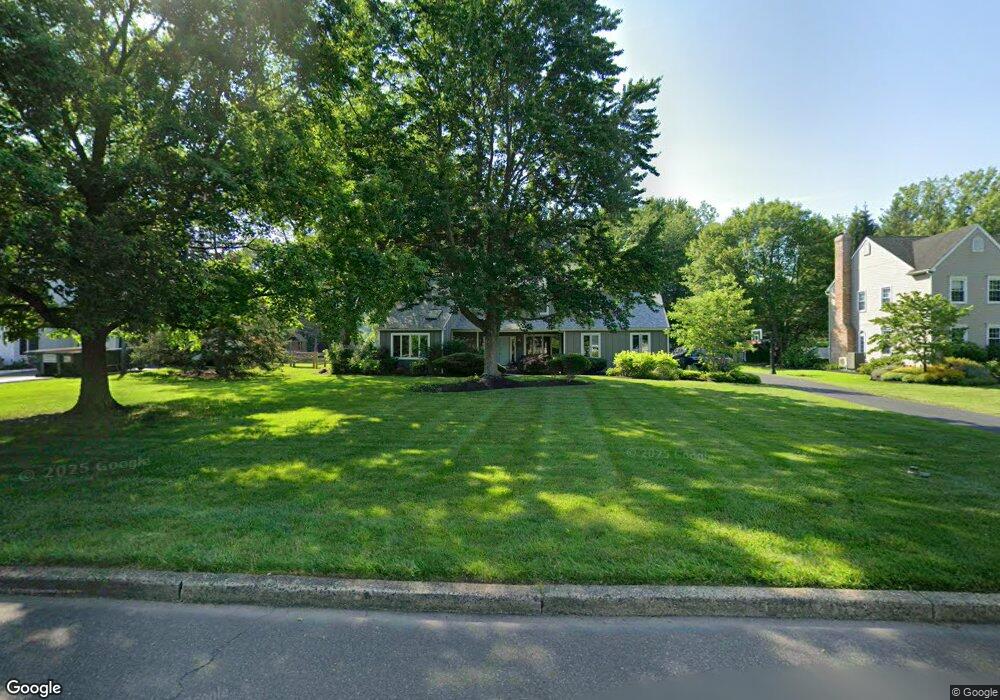
19 John Dyer Way Doylestown, PA 18902
Plumstead NeighborhoodEstimated Value: $818,099 - $919,000
4
Beds
3
Baths
2,960
Sq Ft
$290/Sq Ft
Est. Value
About This Home
This home is located at 19 John Dyer Way, Doylestown, PA 18902 and is currently estimated at $859,275, approximately $290 per square foot. 19 John Dyer Way is a home located in Bucks County with nearby schools including Gayman Elementary School, Tohickon Middle School, and Central Bucks High School - East.
Ownership History
Date
Name
Owned For
Owner Type
Purchase Details
Closed on
Nov 19, 2021
Sold by
Magee Dianne C
Bought by
Burns Andrew P and Burns Stephanie A
Current Estimated Value
Home Financials for this Owner
Home Financials are based on the most recent Mortgage that was taken out on this home.
Original Mortgage
$540,000
Outstanding Balance
$494,817
Interest Rate
2.99%
Mortgage Type
New Conventional
Estimated Equity
$364,458
Purchase Details
Closed on
Aug 12, 2011
Sold by
Magee Richard D and Magee Dianne C
Bought by
Magee Dianne C
Home Financials for this Owner
Home Financials are based on the most recent Mortgage that was taken out on this home.
Original Mortgage
$300,000
Interest Rate
4.53%
Mortgage Type
New Conventional
Purchase Details
Closed on
Sep 7, 1993
Bought by
Magee Richard D Jr and Magee Dianne C
Create a Home Valuation Report for This Property
The Home Valuation Report is an in-depth analysis detailing your home's value as well as a comparison with similar homes in the area
Home Values in the Area
Average Home Value in this Area
Purchase History
| Date | Buyer | Sale Price | Title Company |
|---|---|---|---|
| Burns Andrew P | $685,000 | Laurel Abstract | |
| Magee Dianne C | -- | None Available | |
| Magee Richard D Jr | -- | -- |
Source: Public Records
Mortgage History
| Date | Status | Borrower | Loan Amount |
|---|---|---|---|
| Open | Burns Andrew P | $540,000 | |
| Previous Owner | Magee Dianne C | $300,000 |
Source: Public Records
Tax History Compared to Growth
Tax History
| Year | Tax Paid | Tax Assessment Tax Assessment Total Assessment is a certain percentage of the fair market value that is determined by local assessors to be the total taxable value of land and additions on the property. | Land | Improvement |
|---|---|---|---|---|
| 2025 | $7,541 | $43,400 | $6,120 | $37,280 |
| 2024 | $7,541 | $43,400 | $6,120 | $37,280 |
| 2023 | $7,301 | $43,400 | $6,120 | $37,280 |
| 2022 | $7,220 | $43,400 | $6,120 | $37,280 |
| 2021 | $7,139 | $43,400 | $6,120 | $37,280 |
| 2020 | $7,139 | $43,400 | $6,120 | $37,280 |
| 2019 | $7,095 | $43,400 | $6,120 | $37,280 |
| 2018 | $7,095 | $43,400 | $6,120 | $37,280 |
| 2017 | $6,998 | $43,400 | $6,120 | $37,280 |
| 2016 | $6,998 | $43,400 | $6,120 | $37,280 |
| 2015 | -- | $43,400 | $6,120 | $37,280 |
| 2014 | -- | $43,400 | $6,120 | $37,280 |
Source: Public Records
Map
Nearby Homes
- 4190 Milords Ln
- 4221 Sir Andrew Cir
- 5437 Rinker Cir Unit 283
- 3867 Charter Club Dr
- 4748 Bishop Cir
- 3838 Jacob Stout Rd
- 3765 William Daves Rd
- 3923 Ferry Rd
- 4605 Twinbrook Cir
- 3723 William Daves Rd
- 4263 Kleinot Dr
- 4330 Kleinot Dr
- 4317 Kleinot Dr
- 4464 Kleinot Dr
- 4246 Kleinot Dr
- 4306 Kleinot Dr
- 4298 Kleinot Dr
- 143 Myers Dr
- 3711 Jacob Stout Rd Unit 5
- 114 Blackfriars Cir
- 18 John Dyer Way
- 20 John Dyer Way
- 21 John Dyer Way
- 17 John Dyer Way
- 58 John Dyer Way
- 57 John Dyer Way
- 4137 Landisville Rd
- 59 John Dyer Way
- 55 John Dyer Way
- 56 John Dyer Way
- 22 John Dyer Way
- 4121 Landisville Rd
- 4157 Landisville Rd
- 60 John Dyer Way
- 4103 Landisville Rd
- 23 John Dyer Way
- 66 John Dyer Way
- 65 John Dyer Way
- 15 John Dyer Way
- 67 John Dyer Way