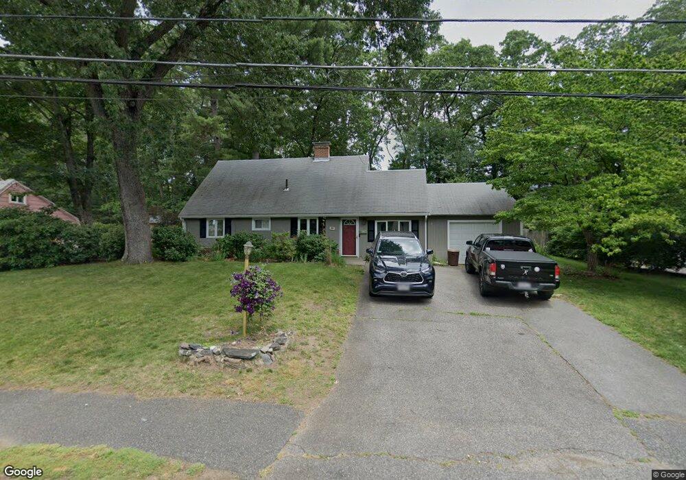
19 Kelsey Rd Natick, MA 01760
Estimated Value: $704,000 - $741,949
3
Beds
3
Baths
1,429
Sq Ft
$504/Sq Ft
Est. Value
About This Home
This home is located at 19 Kelsey Rd, Natick, MA 01760 and is currently estimated at $719,737, approximately $503 per square foot. 19 Kelsey Rd is a home located in Middlesex County with nearby schools including Natick High School, J F Kennedy Middle School, and Brown Elementary School.
Ownership History
Date
Name
Owned For
Owner Type
Purchase Details
Closed on
Jun 7, 2000
Sold by
Donnelly Christopher D and Donnelly Elizabeth A
Bought by
Lawrence Stephen B and Lawrence Jacquelyn A
Current Estimated Value
Home Financials for this Owner
Home Financials are based on the most recent Mortgage that was taken out on this home.
Original Mortgage
$200,000
Interest Rate
8.12%
Mortgage Type
Purchase Money Mortgage
Create a Home Valuation Report for This Property
The Home Valuation Report is an in-depth analysis detailing your home's value as well as a comparison with similar homes in the area
Home Values in the Area
Average Home Value in this Area
Purchase History
| Date | Buyer | Sale Price | Title Company |
|---|---|---|---|
| Lawrence Stephen B | $250,000 | -- |
Source: Public Records
Mortgage History
| Date | Status | Borrower | Loan Amount |
|---|---|---|---|
| Open | Lawrence Stephen B | $190,000 | |
| Closed | Lawrence Stephen B | $200,000 | |
| Previous Owner | Lawrence Stephen B | $46,500 |
Source: Public Records
Tax History Compared to Growth
Tax History
| Year | Tax Paid | Tax Assessment Tax Assessment Total Assessment is a certain percentage of the fair market value that is determined by local assessors to be the total taxable value of land and additions on the property. | Land | Improvement |
|---|---|---|---|---|
| 2025 | $7,255 | $606,600 | $425,800 | $180,800 |
| 2024 | $6,982 | $569,500 | $400,700 | $168,800 |
| 2023 | $6,958 | $550,500 | $385,600 | $164,900 |
| 2022 | $5,794 | $434,300 | $350,500 | $83,800 |
| 2021 | $5,619 | $420,800 | $330,500 | $90,300 |
| 2020 | $5,737 | $421,500 | $315,400 | $106,100 |
| 2019 | $5,357 | $421,500 | $315,400 | $106,100 |
| 2018 | $5,134 | $393,400 | $300,400 | $93,000 |
| 2017 | $4,759 | $352,800 | $255,500 | $97,300 |
| 2016 | $4,490 | $330,900 | $234,500 | $96,400 |
| 2015 | $4,447 | $321,800 | $234,500 | $87,300 |
Source: Public Records
Map
Nearby Homes
- 21 Kelsey Rd
- 2 Lodge Rd
- 157 Mill St
- 38 Ranger Rd
- 91 Speen St
- 40 Silver Hill Ln Unit 4
- 32 Silver Hill Ln Unit 1
- 46 Silver Hill Ln Unit 1
- 8 Hartford St
- 9 Silver Hill Ln Unit 19
- 4 Sylvia Ave
- 12 Walden Dr Unit 19
- 6 Post Oak Ln Unit 10
- 24 Silver Hill Ln
- 11 Post Oak Ln Unit 6
- 36 Porter Rd
- 57 Village Brook Ln Unit 5
- 50 Village Brook Ln Unit 4
- 20 Walden Dr Unit 16
- 6 Village Rock Ln Unit 17