19 Kens Way Eustis, ME 04936
Estimated Value: $163,000 - $259,000
1
Bed
1
Bath
535
Sq Ft
$379/Sq Ft
Est. Value
About This Home
This home is located at 19 Kens Way, Eustis, ME 04936 and is currently estimated at $202,909, approximately $379 per square foot. 19 Kens Way is a home with nearby schools including Stratton Elementary School.
Create a Home Valuation Report for This Property
The Home Valuation Report is an in-depth analysis detailing your home's value as well as a comparison with similar homes in the area
Tax History
| Year | Tax Paid | Tax Assessment Tax Assessment Total Assessment is a certain percentage of the fair market value that is determined by local assessors to be the total taxable value of land and additions on the property. | Land | Improvement |
|---|---|---|---|---|
| 2024 | $1,385 | $158,300 | $69,000 | $89,300 |
| 2023 | $1,371 | $153,200 | $60,800 | $92,400 |
| 2022 | $1,249 | $131,500 | $60,800 | $70,700 |
| 2021 | $1,355 | $105,000 | $50,200 | $54,800 |
| 2020 | $1,319 | $105,500 | $50,200 | $55,300 |
| 2019 | $1,286 | $106,300 | $50,200 | $56,100 |
| 2018 | $1,394 | $106,400 | $50,200 | $56,200 |
| 2017 | $1,394 | $107,200 | $50,200 | $57,000 |
| 2016 | $1,373 | $107,500 | $50,200 | $57,300 |
| 2015 | $1,444 | $109,400 | $51,500 | $57,900 |
| 2014 | $1,218 | $110,700 | $51,500 | $59,200 |
| 2009 | -- | $97,900 | $0 | $0 |
Source: Public Records
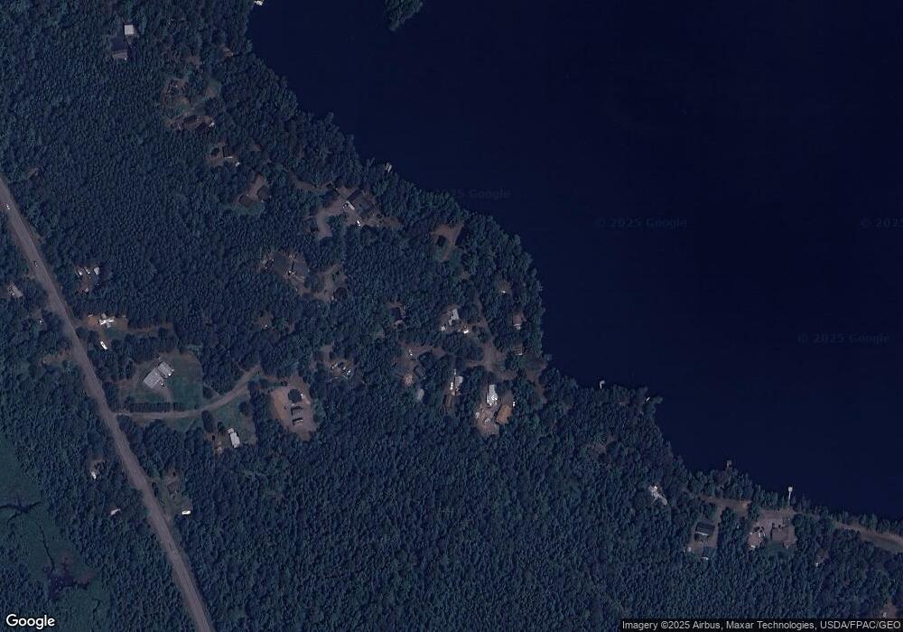
Map
Nearby Homes
- 81 B Red Pine Ln
- 27 Peabody Rd
- 60&66 Gravel Pit Rd
- 6-01 Eustis Ridge Rd
- 9 Tranquility Ln
- 186 Main St
- 484 Eustis Ridge Rd
- 233 Porter Nadeau Rd
- 54 Eustis Village Rd
- 59 Eustis Village Rd
- 95-4 Lot D Porter Nadeau Rd
- 118 Glidden Rd
- 1480 Arnold Trail
- 14 Dam Rd
- 12 Bog Rd
- 11 Porcupine Trail
- 27 Reed Rd
- 64 Ip Rd
- 42 Rabbit Hollow Rd
- 4004 Bigelow Station
Your Personal Tour Guide
Ask me questions while you tour the home.