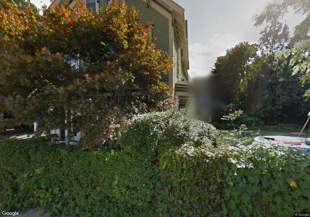
19 Kenton Rd Jamaica Plain, MA 02130
Jamaica Plain NeighborhoodEstimated Value: $1,079,000 - $1,387,646
2
Beds
2
Baths
1,000
Sq Ft
$1,237/Sq Ft
Est. Value
About This Home
This home is located at 19 Kenton Rd, Jamaica Plain, MA 02130 and is currently estimated at $1,237,412, approximately $1,237 per square foot. 19 Kenton Rd is a home located in Suffolk County with nearby schools including Neighborhood School, The Croft School - Jamaica Plain, and Meridian Academy.
Ownership History
Date
Name
Owned For
Owner Type
Purchase Details
Closed on
Aug 1, 2006
Sold by
Leavitt Kenneth M and Osborn-Leavitt Lisa B
Bought by
Lincecum Allison and Lincecum John
Current Estimated Value
Purchase Details
Closed on
Sep 9, 2002
Sold by
Sasowsky Peter
Bought by
Leavitt Kenneth M and Leavitt Lisa B
Purchase Details
Closed on
Sep 16, 1993
Sold by
Citicorp Mtg Inc
Bought by
Sasowsky Peter
Purchase Details
Closed on
Jun 1, 1993
Sold by
Kiely John F and Citicorp Mtg Inc
Bought by
Citicorp Mtg Inc
Purchase Details
Closed on
Dec 19, 1988
Sold by
Clark Jil E
Bought by
Kiely John F
Create a Home Valuation Report for This Property
The Home Valuation Report is an in-depth analysis detailing your home's value as well as a comparison with similar homes in the area
Home Values in the Area
Average Home Value in this Area
Purchase History
| Date | Buyer | Sale Price | Title Company |
|---|---|---|---|
| Lincecum Allison | $549,000 | -- | |
| Leavitt Kenneth M | $525,000 | -- | |
| Sasowsky Peter | $87,000 | -- | |
| Citicorp Mtg Inc | $234,369 | -- | |
| Kiely John F | $240,000 | -- |
Source: Public Records
Mortgage History
| Date | Status | Borrower | Loan Amount |
|---|---|---|---|
| Open | Kiely John F | $525,716 | |
| Closed | Kiely John F | $522,718 |
Source: Public Records
Tax History Compared to Growth
Tax History
| Year | Tax Paid | Tax Assessment Tax Assessment Total Assessment is a certain percentage of the fair market value that is determined by local assessors to be the total taxable value of land and additions on the property. | Land | Improvement |
|---|---|---|---|---|
| 2025 | $11,955 | $1,032,400 | $483,600 | $548,800 |
| 2024 | $9,635 | $883,900 | $404,100 | $479,800 |
| 2023 | $9,042 | $841,900 | $384,900 | $457,000 |
| 2022 | $8,889 | $817,000 | $373,500 | $443,500 |
| 2021 | $8,302 | $778,100 | $355,700 | $422,400 |
| 2020 | $7,595 | $719,200 | $322,900 | $396,300 |
| 2019 | $7,150 | $678,400 | $261,200 | $417,200 |
| 2018 | $6,643 | $633,900 | $261,200 | $372,700 |
| 2017 | $6,454 | $609,400 | $261,200 | $348,200 |
| 2016 | $6,266 | $569,600 | $261,200 | $308,400 |
| 2015 | $6,131 | $506,300 | $231,700 | $274,600 |
| 2014 | $5,419 | $430,800 | $231,700 | $199,100 |
Source: Public Records
Map
Nearby Homes
- 60 Williams St Unit 402
- 69 Williams St Unit 302
- 69 Williams St Unit 202
- 40 Gartland St Unit 2
- 3417 Washington St Unit 2
- 3531 Washington St Unit 206
- 3531 Washington St Unit 507
- 3531 Washington St Unit 411
- 3531 Washington St Unit 316
- 10 Plainfield St Unit 1
- 10 Plainfield St Unit 3
- 10 Plainfield St Unit 2
- 44 Newbern St
- 79 Rossmore Rd Unit 1
- 76-78 Brookley Rd Unit 1
- 71-73 Brookley Rd Unit 2
- 119 Sedgwick St
- 172 Green St Unit 1
- 81 Child St Unit 3
- 76 Elm St Unit 215
- 19 Kenton Rd
- 19 Kenton Rd Unit 1
- 23 Kenton Rd
- 23 Kenton Rd Unit 3
- 20 Kenton Rd
- 20 Kenton Rd
- 20 Kenton Rd Unit 4
- 20 Kenton Rd Unit 1
- 20 Kenton Rd Unit 3
- 20 Kenton Rd Unit 2
- 9 Kenton Rd Unit 11
- 14 Gartland St Unit 3
- 14 Gartland St Unit 2
- 18 Kenton Rd
- 24 Kenton Rd
- 8 Gartland St Unit 12
- 12 Gartland St Unit 12
- 10 Gartland St Unit 12
- 12 Gartland St
- 8 Gartland St Unit 1