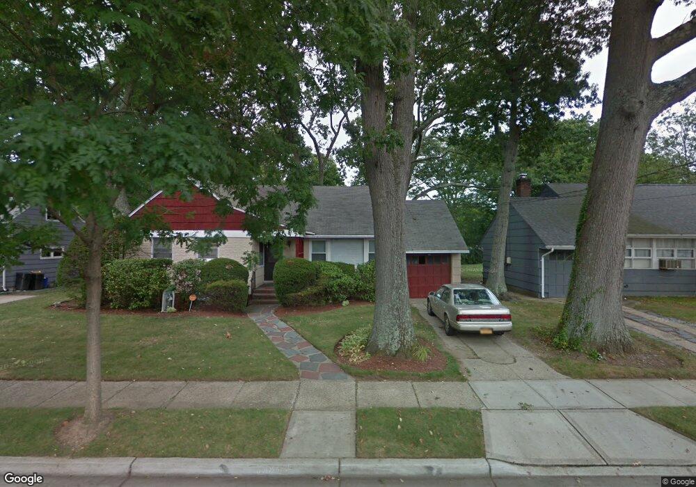
19 King St Freeport, NY 11520
Estimated Value: $429,000 - $682,802
3
Beds
2
Baths
1,288
Sq Ft
$432/Sq Ft
Est. Value
About This Home
This home is located at 19 King St, Freeport, NY 11520 and is currently estimated at $555,901, approximately $431 per square foot. 19 King St is a home located in Nassau County with nearby schools including Roosevelt Middle School, Roosevelt High School, and Roosevelt Children's Academy.
Ownership History
Date
Name
Owned For
Owner Type
Purchase Details
Closed on
Jun 27, 2015
Sold by
Miller Ruth D
Bought by
Mills Immacula and Mills Willy
Current Estimated Value
Home Financials for this Owner
Home Financials are based on the most recent Mortgage that was taken out on this home.
Original Mortgage
$180,000
Outstanding Balance
$139,615
Interest Rate
3.87%
Mortgage Type
New Conventional
Estimated Equity
$416,286
Create a Home Valuation Report for This Property
The Home Valuation Report is an in-depth analysis detailing your home's value as well as a comparison with similar homes in the area
Home Values in the Area
Average Home Value in this Area
Purchase History
| Date | Buyer | Sale Price | Title Company |
|---|---|---|---|
| Mills Immacula | $225,000 | Commonwealth | |
| Mills Immacula | $225,000 | Commonwealth | |
| Mills Immacula | $225,000 | Commonwealth | |
| Mills Immacula | $225,000 | Commonwealth |
Source: Public Records
Mortgage History
| Date | Status | Borrower | Loan Amount |
|---|---|---|---|
| Open | Mills Immacula | $180,000 | |
| Closed | Mills Immacula | $180,000 |
Source: Public Records
Tax History
| Year | Tax Paid | Tax Assessment Tax Assessment Total Assessment is a certain percentage of the fair market value that is determined by local assessors to be the total taxable value of land and additions on the property. | Land | Improvement |
|---|---|---|---|---|
| 2025 | $6,884 | $374 | $178 | $196 |
| 2024 | $834 | $374 | $178 | $196 |
Source: Public Records
Map
Nearby Homes
- 12 King St
- 63 Prince Ave
- 20 Sterling Place
- 365 Wallace St
- 32 Dawes Ave
- 41 W Fulton Ave
- 72 Woodside Ave
- 171 Ellison Ave
- 200 Evans Ave
- 110 Woodside Ave
- 315 Maryland Ave
- 139 New York Ave
- 156 Brookside Ave
- 35 W Seaman Ave
- 119 E Fulton Ave
- 188 Woodside Ave
- 1 Willowbrook Ln
- 16 Scherer Place
- 63 Lincoln Place
- 63 E Seaman Ave
Your Personal Tour Guide
Ask me questions while you tour the home.