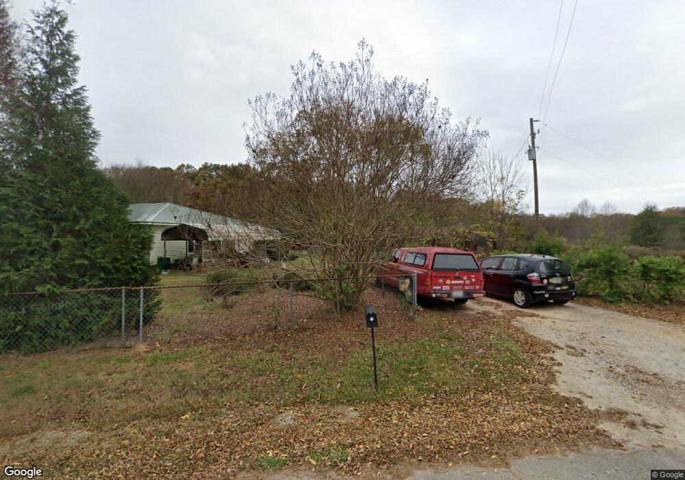
19 Kirk Langford Rd Danielsville, GA 30633
Estimated Value: $179,915 - $645,000
2
Beds
1
Bath
1,160
Sq Ft
$281/Sq Ft
Est. Value
About This Home
This home is located at 19 Kirk Langford Rd, Danielsville, GA 30633 and is currently estimated at $326,229, approximately $281 per square foot. 19 Kirk Langford Rd is a home located in Madison County with nearby schools including Madison County High School.
Ownership History
Date
Name
Owned For
Owner Type
Purchase Details
Closed on
Mar 9, 2006
Sold by
Horne T D
Bought by
Degrasse Suzanne M
Current Estimated Value
Home Financials for this Owner
Home Financials are based on the most recent Mortgage that was taken out on this home.
Original Mortgage
$75,600
Outstanding Balance
$42,776
Interest Rate
6.19%
Mortgage Type
New Conventional
Estimated Equity
$283,453
Purchase Details
Closed on
Jun 18, 2004
Sold by
Horne T D
Bought by
Horne T D
Purchase Details
Closed on
Jan 1, 1987
Bought by
Horne T D
Create a Home Valuation Report for This Property
The Home Valuation Report is an in-depth analysis detailing your home's value as well as a comparison with similar homes in the area
Home Values in the Area
Average Home Value in this Area
Purchase History
| Date | Buyer | Sale Price | Title Company |
|---|---|---|---|
| Degrasse Suzanne M | $94,500 | -- | |
| Horne T D | -- | -- | |
| Horne T D | -- | -- |
Source: Public Records
Mortgage History
| Date | Status | Borrower | Loan Amount |
|---|---|---|---|
| Open | Degrasse Suzanne M | $75,600 |
Source: Public Records
Tax History Compared to Growth
Tax History
| Year | Tax Paid | Tax Assessment Tax Assessment Total Assessment is a certain percentage of the fair market value that is determined by local assessors to be the total taxable value of land and additions on the property. | Land | Improvement |
|---|---|---|---|---|
| 2024 | $928 | $37,651 | $15,226 | $22,425 |
| 2023 | $1,232 | $40,347 | $12,688 | $27,659 |
| 2022 | $855 | $32,998 | $8,723 | $24,275 |
| 2021 | $749 | $26,536 | $8,723 | $17,813 |
| 2020 | $715 | $25,267 | $7,454 | $17,813 |
| 2019 | $711 | $24,853 | $7,454 | $17,399 |
| 2018 | $670 | $23,468 | $6,820 | $16,648 |
| 2017 | $658 | $22,859 | $6,344 | $16,515 |
| 2016 | $487 | $18,962 | $5,248 | $13,714 |
| 2015 | $487 | $18,962 | $5,248 | $13,714 |
| 2014 | $497 | $19,195 | $5,350 | $13,846 |
| 2013 | -- | $19,195 | $5,350 | $13,846 |
Source: Public Records
Map
Nearby Homes
- 0 Georgia 174 Unit 10530772
- 305 Langford Carey Rd
- 590 Langford Carey Rd
- 3578 Georgia 174
- 0 Carey-Ford Rd
- 00 Georgia 174 Unit 1
- 56 Harry Pauls Rd
- 266 Water Oak Rd
- 15 Pine St
- 0 Highway 29 N Unit 10525658
- 886 Hudson Rivers Church Rd
- 4274 Highway 98 W
- 0 Rock St Unit TRACT 2
- 0 Carey Ford Rd Unit 10495957
- 707 Hudson Terrace
- 5492 Georgia 98
- 5591 Jot Em Down Rd
- 84 Woodpecker Point
- 352 Jim Grizzle Rd
- 318 Jim Grizzle Rd
- 1602 Mathis Rd
- 2123 Highway 174
- 1554 Mathis Rd
- 2004 Highway 174
- 1498 Mathis Rd
- 1911 Highway 174
- 1911 Highway 174
- 2189 Highway 174
- 1472 Mathis Rd
- 1809 Highway 174
- 1368 Mathis Rd
- 322 Kirk Langford Rd
- 327 Kirk Langford Rd
- 1835 Highway 174
- 1911 Georgia 174
- 2328 Highway 174
- 2001 Highway 174
- 1681 Highway 174
- 2208 Highway 174
- 461 Kirk Langford Rd