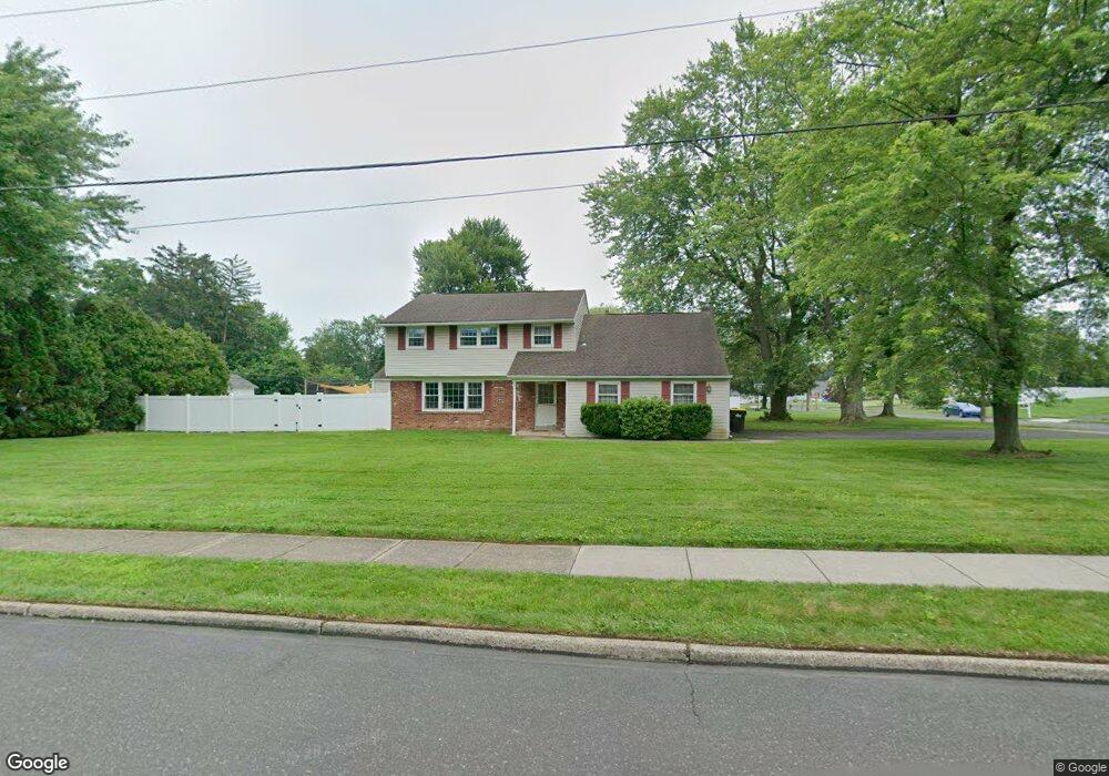
19 Latchstring Ln Hatboro, PA 19040
Estimated Value: $473,000 - $543,000
4
Beds
3
Baths
2,062
Sq Ft
$247/Sq Ft
Est. Value
About This Home
This home is located at 19 Latchstring Ln, Hatboro, PA 19040 and is currently estimated at $508,706, approximately $246 per square foot. 19 Latchstring Ln is a home located in Montgomery County with nearby schools including Hallowell Elementary School, Keith Valley Middle School, and Hatboro-Horsham Senior High School.
Ownership History
Date
Name
Owned For
Owner Type
Purchase Details
Closed on
Nov 20, 2009
Sold by
Bram Gloria and Eichlin Harold W
Bought by
Shields Amy M and Shields Gregory T
Current Estimated Value
Home Financials for this Owner
Home Financials are based on the most recent Mortgage that was taken out on this home.
Original Mortgage
$256,000
Outstanding Balance
$178,216
Interest Rate
6.34%
Estimated Equity
$330,490
Create a Home Valuation Report for This Property
The Home Valuation Report is an in-depth analysis detailing your home's value as well as a comparison with similar homes in the area
Home Values in the Area
Average Home Value in this Area
Purchase History
| Date | Buyer | Sale Price | Title Company |
|---|---|---|---|
| Shields Amy M | $320,000 | None Available |
Source: Public Records
Mortgage History
| Date | Status | Borrower | Loan Amount |
|---|---|---|---|
| Open | Shields Amy M | $256,000 |
Source: Public Records
Tax History
| Year | Tax Paid | Tax Assessment Tax Assessment Total Assessment is a certain percentage of the fair market value that is determined by local assessors to be the total taxable value of land and additions on the property. | Land | Improvement |
|---|---|---|---|---|
| 2025 | $5,958 | $151,580 | $50,160 | $101,420 |
| 2024 | $5,958 | $151,580 | $50,160 | $101,420 |
| 2023 | $5,671 | $151,580 | $50,160 | $101,420 |
| 2022 | $5,488 | $151,580 | $50,160 | $101,420 |
| 2021 | $5,358 | $151,580 | $50,160 | $101,420 |
| 2020 | $5,231 | $151,580 | $50,160 | $101,420 |
| 2019 | $5,131 | $151,580 | $50,160 | $101,420 |
Source: Public Records
Map
Nearby Homes
- 537 Sherwood Ln
- 532 Sherwood Ln
- 25 Patriot Ln
- 18 Patriot Ln
- 604 Liberty Ridge Rd
- 36 Patriot Ln
- 602 America Dr Unit FARADAY MODEL HOME
- 604 America #Northbrook Model Dr
- 616 Liberty Ridge Rd
- 607 America Dr
- 619 Liberty Ridge Rd
- 623 Liberty Ridge Rd
- 1171 W County Line Rd
- 60 Caledonia Dr
- 1246 Victoria Rd
- 204 Wilson Ave
- 711 W County Line Rd
- 407 W Moreland Ave
- 240 Clearfield Cir
- 1454 Kingsley Dr
- 530 Brumar Dr
- 17 Latchstring Ln
- 20 Latchstring Ln
- 21 Latchstring Ln
- 15 Latchstring Ln
- 528 Buckman Dr
- 531 Brumar Dr
- 526 Buckman Dr
- 14 Latchstring Ln
- 602 Brumar Dr
- 22 Latchstring Ln
- 26 Buckman Dr
- 23 Latchstring Ln
- 630 Winding Rd
- 13 Latchstring Ln
- 524 Buckman Dr
- 604 Brumar Dr
- 603 Brumar Dr
- 28 Buckman Dr
- 628 Winding Rd
Your Personal Tour Guide
Ask me questions while you tour the home.