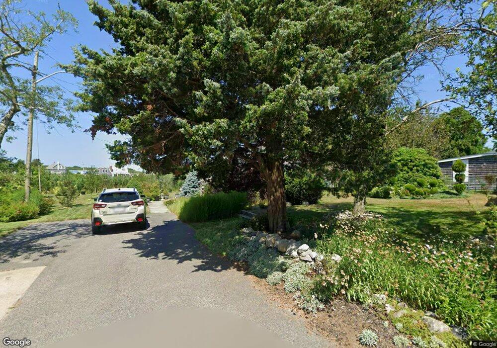
19 Laurel St Brant Rock, MA 02020
Ocean Bluff-Brant Rock NeighborhoodEstimated Value: $504,056 - $633,000
2
Beds
1
Bath
867
Sq Ft
$642/Sq Ft
Est. Value
About This Home
This home is located at 19 Laurel St, Brant Rock, MA 02020 and is currently estimated at $556,764, approximately $642 per square foot. 19 Laurel St is a home with nearby schools including Governor Edward Winslow School, Furnace Brook Middle School, and Marshfield High School.
Create a Home Valuation Report for This Property
The Home Valuation Report is an in-depth analysis detailing your home's value as well as a comparison with similar homes in the area
Home Values in the Area
Average Home Value in this Area
Tax History Compared to Growth
Tax History
| Year | Tax Paid | Tax Assessment Tax Assessment Total Assessment is a certain percentage of the fair market value that is determined by local assessors to be the total taxable value of land and additions on the property. | Land | Improvement |
|---|---|---|---|---|
| 2025 | $4,476 | $452,100 | $322,600 | $129,500 |
| 2024 | $4,428 | $426,200 | $302,500 | $123,700 |
| 2023 | $4,284 | $376,400 | $272,200 | $104,200 |
| 2022 | $4,284 | $330,800 | $231,900 | $98,900 |
| 2021 | $4,125 | $312,700 | $221,800 | $90,900 |
| 2020 | $3,712 | $278,500 | $191,600 | $86,900 |
| 2019 | $3,673 | $274,500 | $191,600 | $82,900 |
| 2018 | $3,670 | $274,500 | $191,600 | $82,900 |
| 2017 | $3,489 | $254,300 | $181,500 | $72,800 |
| 2016 | $3,380 | $243,500 | $171,400 | $72,100 |
| 2015 | $3,236 | $243,500 | $171,400 | $72,100 |
| 2014 | $3,255 | $244,900 | $171,400 | $73,500 |
Source: Public Records
Map
Nearby Homes