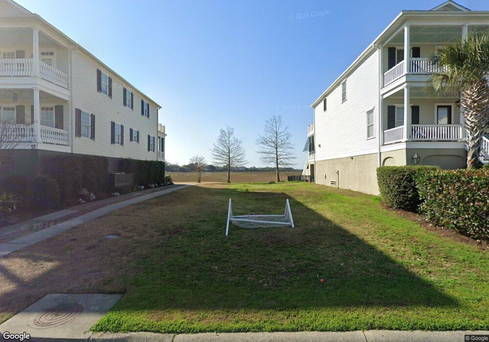
19 Lowndes Pointe Dr Charleston, SC 29403
Wagener Terrace NeighborhoodEstimated Value: $527,867 - $1,527,000
--
Bed
--
Bath
--
Sq Ft
6,534
Sq Ft Lot
About This Home
This home is located at 19 Lowndes Pointe Dr, Charleston, SC 29403 and is currently estimated at $1,127,622. 19 Lowndes Pointe Dr is a home located in Charleston County with nearby schools including James Simons Elementary School, Mitchell Elementary School, and Simmons Pinckney Middle.
Ownership History
Date
Name
Owned For
Owner Type
Purchase Details
Closed on
Jun 28, 2021
Sold by
Charleston County Of South Carolina
Bought by
Carroll R Cockerell Credit Shelter Trust
Current Estimated Value
Purchase Details
Closed on
Sep 24, 2014
Sold by
Cockerell Karen
Bought by
Carroll R Cockerell Credit Shelter Trust
Purchase Details
Closed on
Sep 28, 2006
Sold by
81 Ashley Llc
Bought by
Smith James G and Smith Laura M
Purchase Details
Closed on
Sep 16, 2005
Sold by
Mccrary Sharon R
Bought by
81 Ashley Llc
Purchase Details
Closed on
Jun 6, 2003
Sold by
Lowndes Point Partners Llc
Bought by
Mccrary Sharon R
Create a Home Valuation Report for This Property
The Home Valuation Report is an in-depth analysis detailing your home's value as well as a comparison with similar homes in the area
Home Values in the Area
Average Home Value in this Area
Purchase History
| Date | Buyer | Sale Price | Title Company |
|---|---|---|---|
| Carroll R Cockerell Credit Shelter Trust | -- | None Listed On Document | |
| Carroll R Cockerell Credit Shelter Trust | -- | -- | |
| Smith James G | $52,500 | None Available | |
| 81 Ashley Llc | $375,000 | -- | |
| Mccrary Sharon R | $250,000 | -- |
Source: Public Records
Tax History Compared to Growth
Tax History
| Year | Tax Paid | Tax Assessment Tax Assessment Total Assessment is a certain percentage of the fair market value that is determined by local assessors to be the total taxable value of land and additions on the property. | Land | Improvement |
|---|---|---|---|---|
| 2024 | $3,826 | $13,490 | $0 | $0 |
| 2023 | $3,826 | $13,490 | $0 | $0 |
| 2022 | $3,562 | $13,490 | $0 | $0 |
| 2021 | $3,518 | $13,490 | $0 | $0 |
| 2020 | $3,492 | $13,490 | $0 | $0 |
| 2019 | $3,186 | $11,730 | $0 | $0 |
| 2017 | $3,041 | $11,730 | $0 | $0 |
| 2016 | $2,941 | $11,730 | $0 | $0 |
| 2015 | $2,805 | $11,730 | $0 | $0 |
| 2014 | $2,475 | $0 | $0 | $0 |
| 2011 | -- | $0 | $0 | $0 |
Source: Public Records
Map
Nearby Homes
- 8 Riverside Dr
- 79 Hester St
- 40 Piedmont Ave
- 158 Darlington Ave
- 242 W Poplar St
- 937 Rutledge Ave Unit B
- 251 W Poplar St
- 932 Rutledge Ave
- 928 Rutledge Ave
- 62 Alberta Ave
- 2130 Weaver St
- 165 Mary Ellen Dr
- 35 N Enston Ave
- 171 Mary Ellen Dr
- 43 N Enston Ave
- 4 Piedmont Ave
- 2 Piedmont Ave
- 172 Mary Ellen Dr
- 78 Maple St
- 829 Rutledge Ave
- 17 Lowndes Pointe Dr
- 15 Lowndes Pointe Dr
- 25 Lowndes Pointe Dr
- 13 Lowndes Pointe Dr
- 27 Lowndes Pointe Dr
- 11 Lowndes Pointe Dr
- 20 Lowndes Pointe Dr
- 16 Parrothead Ln
- 22 Lowndes Pointe Dr
- 9 Lowndes Pointe Dr
- 24 Lowndes Pointe Dr
- 14 Parrothead St
- 26 Lowndes Pointe Dr
- 7 Lowndes Pointe Dr
- 12 Parrothead St
- 28 Lowndes Pointe Dr
- 1 Jackrigs
- 10 Parrothead St
- 5 Lowndes Pointe Dr
- 3 Jackrigs