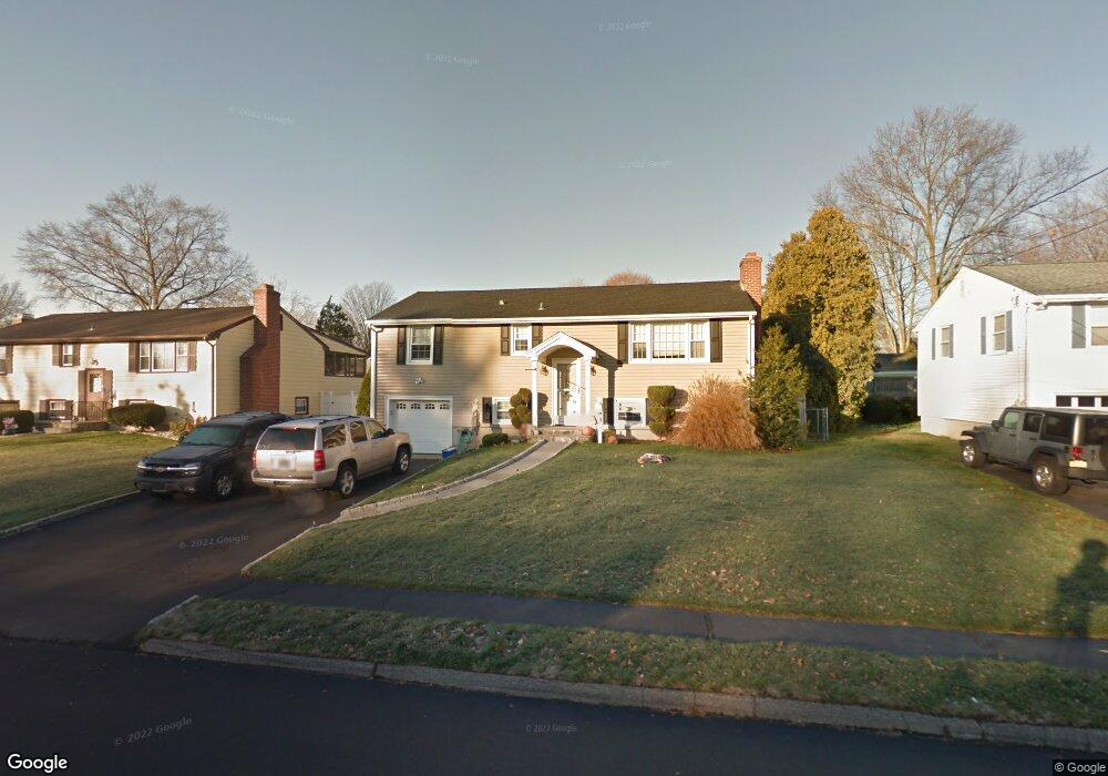
19 Macintosh Rd Norwalk, CT 06851
Downtown Norwalk NeighborhoodEstimated Value: $609,000 - $684,000
3
Beds
2
Baths
1,056
Sq Ft
$617/Sq Ft
Est. Value
About This Home
This home is located at 19 Macintosh Rd, Norwalk, CT 06851 and is currently estimated at $651,502, approximately $616 per square foot. 19 Macintosh Rd is a home located in Fairfield County with nearby schools including Naramake Elementary School, Nathan Hale Middle School, and Norwalk High School.
Ownership History
Date
Name
Owned For
Owner Type
Purchase Details
Closed on
Feb 8, 2016
Sold by
Memoli Christopher
Bought by
Memoli Nicole
Current Estimated Value
Purchase Details
Closed on
May 28, 2004
Sold by
Nardello Charles
Bought by
Memoli Nicole A and Memoli Christine E
Home Financials for this Owner
Home Financials are based on the most recent Mortgage that was taken out on this home.
Original Mortgage
$344,000
Interest Rate
6.76%
Create a Home Valuation Report for This Property
The Home Valuation Report is an in-depth analysis detailing your home's value as well as a comparison with similar homes in the area
Home Values in the Area
Average Home Value in this Area
Purchase History
| Date | Buyer | Sale Price | Title Company |
|---|---|---|---|
| Memoli Nicole | -- | -- | |
| Memoli Nicole | -- | -- | |
| Memoli Nicole A | $430,000 | -- | |
| Memoli Nicole A | $430,000 | -- |
Source: Public Records
Mortgage History
| Date | Status | Borrower | Loan Amount |
|---|---|---|---|
| Open | Memoli Nicole A | $405,677 | |
| Previous Owner | Memoli Nicole A | $440,000 | |
| Previous Owner | Memoli Nicole A | $344,000 |
Source: Public Records
Tax History
| Year | Tax Paid | Tax Assessment Tax Assessment Total Assessment is a certain percentage of the fair market value that is determined by local assessors to be the total taxable value of land and additions on the property. | Land | Improvement |
|---|---|---|---|---|
| 2025 | $7,988 | $333,600 | $160,730 | $172,870 |
| 2024 | $7,870 | $333,600 | $160,730 | $172,870 |
| 2023 | $6,821 | $271,110 | $122,780 | $148,330 |
| 2022 | $6,694 | $271,110 | $122,780 | $148,330 |
| 2021 | $6,520 | $271,110 | $122,780 | $148,330 |
| 2020 | $6,517 | $271,110 | $122,780 | $148,330 |
| 2019 | $6,334 | $271,110 | $122,780 | $148,330 |
| 2018 | $6,701 | $251,340 | $133,770 | $117,570 |
| 2017 | $6,471 | $251,330 | $133,770 | $117,560 |
| 2016 | $6,409 | $251,340 | $133,770 | $117,570 |
Source: Public Records
Map
Nearby Homes
- 23 Macintosh Rd
- 16 Sunset Hill Ave
- 136 East Ave Unit 4C
- 144 East Ave Unit B404
- 189 East Ave
- 1 Howard Ave Unit C4
- 30 Merwin St Unit 6
- 30 Merwin St Unit 1
- 30 Merwin St Unit 5
- 19 Isaacs St Unit 405
- 18 Cloverly Cir
- 29 High St Unit F
- 10 Merrill Rd
- 17 Pleasant St
- 281 East Ave
- 4 van Zant St Unit A2
- 80 County St Unit 9K
- 29 Van Buren Ave Unit I3
- 40 1st St
- 60 Wolfpit Ave Unit 4B
- 17 Macintosh Rd
- 21 Macintosh Rd
- 18 Chelene Rd
- 16 Chelene Rd
- 15 Macintosh Rd
- 20 Chelene Rd
- 16 Macintosh Rd
- 18 Macintosh Rd
- 14 Chelene Rd
- 14 Macintosh Rd
- 22 Chelene Rd
- 11 Macintosh Rd
- 20 Macintosh Rd
- 12 Macintosh Rd
- 25 Macintosh Rd
- 12 Chelene Rd
- 10 Macintosh Rd
- 24 Chelene Rd
- 22 Macintosh Rd
- 10 Chelene Rd
Your Personal Tour Guide
Ask me questions while you tour the home.