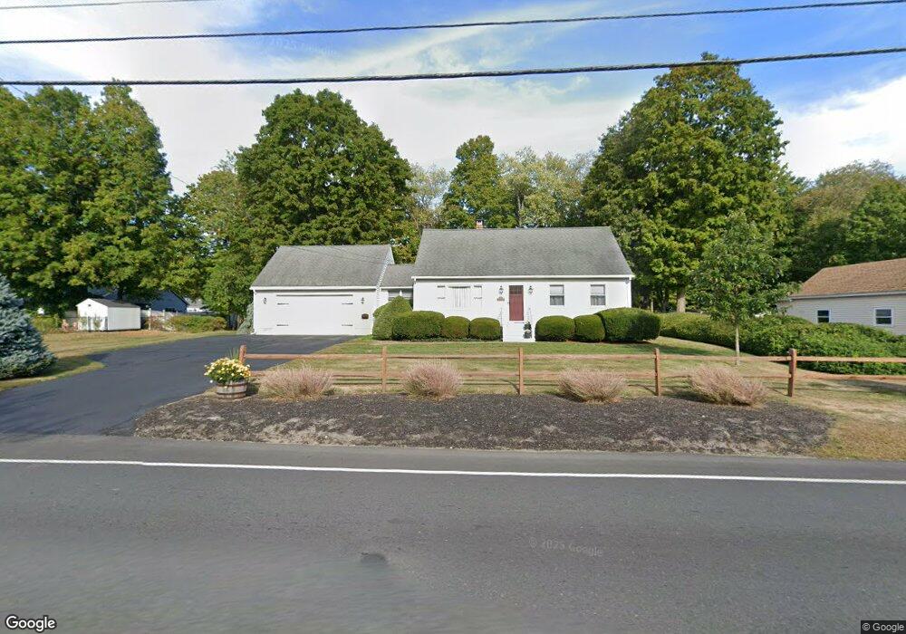
19 Maple Ave Leominster, MA 01453
Estimated Value: $500,729 - $532,000
3
Beds
2
Baths
1,746
Sq Ft
$297/Sq Ft
Est. Value
About This Home
This home is located at 19 Maple Ave, Leominster, MA 01453 and is currently estimated at $518,182, approximately $296 per square foot. 19 Maple Ave is a home located in Worcester County with nearby schools including Leominster High School, St. Leo School, and St. Anna Catholic School.
Ownership History
Date
Name
Owned For
Owner Type
Purchase Details
Closed on
Oct 4, 1985
Bought by
Nicholson James S and Nicholson Lena J
Current Estimated Value
Create a Home Valuation Report for This Property
The Home Valuation Report is an in-depth analysis detailing your home's value as well as a comparison with similar homes in the area
Home Values in the Area
Average Home Value in this Area
Purchase History
| Date | Buyer | Sale Price | Title Company |
|---|---|---|---|
| Nicholson James S | $105,000 | -- |
Source: Public Records
Mortgage History
| Date | Status | Borrower | Loan Amount |
|---|---|---|---|
| Open | Nicholson James S | $165,000 | |
| Closed | Nicholson James S | $40,000 | |
| Closed | Nicholson James S | $15,000 | |
| Closed | Nicholson James S | $106,000 |
Source: Public Records
Tax History
| Year | Tax Paid | Tax Assessment Tax Assessment Total Assessment is a certain percentage of the fair market value that is determined by local assessors to be the total taxable value of land and additions on the property. | Land | Improvement |
|---|---|---|---|---|
| 2025 | $6,454 | $460,000 | $139,000 | $321,000 |
| 2024 | $6,239 | $430,000 | $132,400 | $297,600 |
| 2023 | $6,084 | $391,500 | $115,100 | $276,400 |
| 2022 | $5,789 | $349,600 | $100,200 | $249,400 |
| 2021 | $5,747 | $317,000 | $77,900 | $239,100 |
| 2020 | $5,315 | $295,600 | $77,900 | $217,700 |
| 2019 | $5,213 | $281,200 | $74,200 | $207,000 |
| 2018 | $2,332 | $264,100 | $72,000 | $192,100 |
| 2017 | $4,567 | $231,500 | $67,300 | $164,200 |
| 2016 | $4,407 | $225,100 | $67,300 | $157,800 |
| 2015 | $4,298 | $221,100 | $67,300 | $153,800 |
| 2014 | $4,075 | $215,700 | $74,400 | $141,300 |
Source: Public Records
Map
Nearby Homes
- 559 Merriam Ave
- 121 Cumberland Rd
- 525 Lindell Ave
- 65 Helena St
- 204 Old Farm Rd
- 27 Haynes Ct
- 32 Haynes Ct
- 20 Oregon Ave
- 15 Arlington St
- 144 West St Unit 14
- Lot 2 Birch St
- 51 Grove Ave
- 93 Benjamin St
- 20 Pleasantview Ave
- 54 N Main St
- 54 Green St Unit 412
- 59 Church St
- 57 Liberty St Unit 2
- 60 Pearl St
- 21 Whitman St
Your Personal Tour Guide
Ask me questions while you tour the home.