19 Maple Leaf Ln White Salmon, WA 98672
Estimated Value: $562,000 - $910,000
3
Beds
2
Baths
1,480
Sq Ft
$484/Sq Ft
Est. Value
About This Home
This home is located at 19 Maple Leaf Ln, White Salmon, WA 98672 and is currently estimated at $715,779, approximately $483 per square foot. 19 Maple Leaf Ln is a home with nearby schools including Hulan L. Whitson Elementary School, Wallace & Priscilla Stevenson Intermediate School, and Wayne M. Henkle Middle School.
Ownership History
Date
Name
Owned For
Owner Type
Purchase Details
Closed on
Jul 6, 2016
Sold by
Kloster Karl A and Kloster Lori A
Bought by
Brous Scott Lloyd and Brous Martha Leticia
Current Estimated Value
Home Financials for this Owner
Home Financials are based on the most recent Mortgage that was taken out on this home.
Original Mortgage
$265,500
Outstanding Balance
$213,774
Interest Rate
3.85%
Mortgage Type
Purchase Money Mortgage
Estimated Equity
$502,005
Create a Home Valuation Report for This Property
The Home Valuation Report is an in-depth analysis detailing your home's value as well as a comparison with similar homes in the area
Home Values in the Area
Average Home Value in this Area
Purchase History
| Date | Buyer | Sale Price | Title Company |
|---|---|---|---|
| Brous Scott Lloyd | -- | Klickitat County Title |
Source: Public Records
Mortgage History
| Date | Status | Borrower | Loan Amount |
|---|---|---|---|
| Open | Brous Scott Lloyd | $265,500 |
Source: Public Records
Tax History Compared to Growth
Tax History
| Year | Tax Paid | Tax Assessment Tax Assessment Total Assessment is a certain percentage of the fair market value that is determined by local assessors to be the total taxable value of land and additions on the property. | Land | Improvement |
|---|---|---|---|---|
| 2025 | $3,772 | $460,150 | $118,750 | $341,400 |
| 2023 | $3,772 | $382,350 | $118,750 | $263,600 |
| 2022 | $3,219 | $291,300 | $87,500 | $203,800 |
| 2021 | $3,179 | $284,780 | $82,280 | $202,500 |
| 2020 | $3,127 | $273,780 | $71,280 | $202,500 |
| 2018 | $2,497 | $273,780 | $71,280 | $202,500 |
| 2017 | $725 | $234,080 | $71,280 | $162,800 |
| 2016 | $736 | $71,280 | $71,280 | $0 |
| 2015 | $435 | $71,280 | $71,280 | $0 |
| 2013 | $435 | $70,530 | $70,530 | $0 |
Source: Public Records
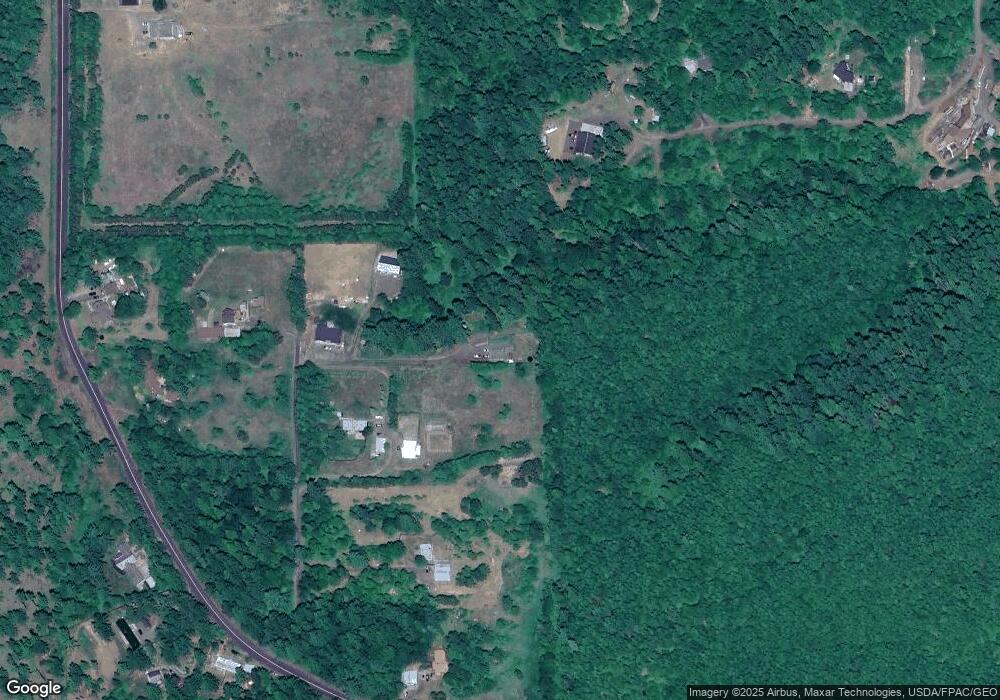
Map
Nearby Homes
- 15 Brookside Dr
- 59 Tunnel Rd
- 211 Eagle Ridge Dr
- 113 Ingram Place
- 116 Ingram Place
- 311 Lincoln St
- 308 Maple St
- 218 W Franklin St
- 590 NE Spring St
- 101 Cooke Rd
- 204 N Walnut St
- 0 Poplar Dr Unit 10 481542599
- 0 Poplar Dr Unit 2
- 113 N Walnut St
- 0 Lot Off Vine St
- 1027/1012 SE Oak St
- 640 E Jewett Blvd
- 0 W Steuben St
- 706 W Steuben St
- 0 Snowden Rd Unit 287630705