19 Maple Rd Oxford, MA 01540
Estimated Value: $303,000 - $443,000
2
Beds
1
Bath
1,116
Sq Ft
$327/Sq Ft
Est. Value
About This Home
This home is located at 19 Maple Rd, Oxford, MA 01540 and is currently estimated at $365,147, approximately $327 per square foot. 19 Maple Rd is a home located in Worcester County with nearby schools including Alfred M Chaffee, Oxford High School, and Clara Barton Elementary School.
Ownership History
Date
Name
Owned For
Owner Type
Purchase Details
Closed on
Apr 22, 2024
Sold by
Robert W & T A Stone Ft and Stone
Bought by
Stone Theresa A
Current Estimated Value
Create a Home Valuation Report for This Property
The Home Valuation Report is an in-depth analysis detailing your home's value as well as a comparison with similar homes in the area
Home Values in the Area
Average Home Value in this Area
Purchase History
| Date | Buyer | Sale Price | Title Company |
|---|---|---|---|
| Stone Theresa A | -- | None Available | |
| Stone Theresa A | -- | None Available |
Source: Public Records
Tax History
| Year | Tax Paid | Tax Assessment Tax Assessment Total Assessment is a certain percentage of the fair market value that is determined by local assessors to be the total taxable value of land and additions on the property. | Land | Improvement |
|---|---|---|---|---|
| 2025 | $40 | $317,500 | $82,700 | $234,800 |
| 2024 | $3,733 | $276,900 | $74,800 | $202,100 |
| 2023 | $3,567 | $261,500 | $66,700 | $194,800 |
| 2022 | $3,198 | $197,900 | $62,100 | $135,800 |
| 2021 | $2,975 | $180,000 | $59,000 | $121,000 |
| 2020 | $2,876 | $172,600 | $59,000 | $113,600 |
| 2019 | $3,088 | $181,300 | $59,000 | $122,300 |
| 2018 | $2,886 | $167,100 | $59,000 | $108,100 |
| 2017 | $2,891 | $171,600 | $59,000 | $112,600 |
| 2016 | $2,905 | $171,600 | $59,000 | $112,600 |
| 2015 | $2,710 | $171,600 | $59,000 | $112,600 |
| 2014 | $2,664 | $177,600 | $59,000 | $118,600 |
Source: Public Records
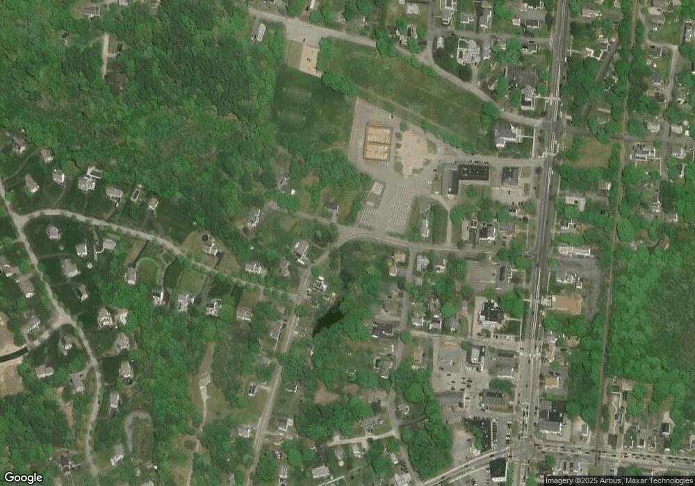
Map
Nearby Homes
Your Personal Tour Guide
Ask me questions while you tour the home.