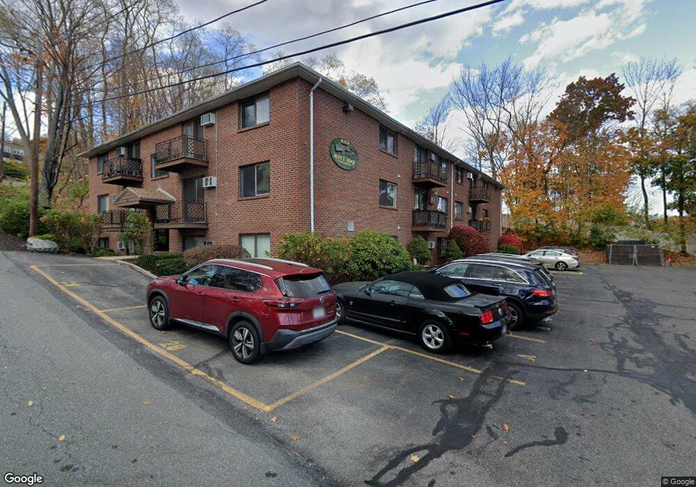
19 Maple St Unit 22 Amesbury, MA 01913
Estimated Value: $190,000 - $374,000
1
Bed
1
Bath
599
Sq Ft
$441/Sq Ft
Est. Value
About This Home
This home is located at 19 Maple St Unit 22, Amesbury, MA 01913 and is currently estimated at $263,881, approximately $440 per square foot. 19 Maple St Unit 22 is a home located in Essex County with nearby schools including Amesbury High School and Amesbury Seventh-Day Adventist School.
Ownership History
Date
Name
Owned For
Owner Type
Purchase Details
Closed on
Feb 1, 2002
Sold by
Gonthier Denys O
Bought by
Maria Vincent N
Current Estimated Value
Home Financials for this Owner
Home Financials are based on the most recent Mortgage that was taken out on this home.
Original Mortgage
$55,000
Outstanding Balance
$21,938
Interest Rate
7.15%
Mortgage Type
Purchase Money Mortgage
Estimated Equity
$241,943
Purchase Details
Closed on
Oct 1, 1987
Sold by
Hamilton Rt
Bought by
Gonthier Denys O
Home Financials for this Owner
Home Financials are based on the most recent Mortgage that was taken out on this home.
Original Mortgage
$53,600
Interest Rate
10.31%
Mortgage Type
Purchase Money Mortgage
Create a Home Valuation Report for This Property
The Home Valuation Report is an in-depth analysis detailing your home's value as well as a comparison with similar homes in the area
Home Values in the Area
Average Home Value in this Area
Purchase History
| Date | Buyer | Sale Price | Title Company |
|---|---|---|---|
| Maria Vincent N | $78,900 | -- | |
| Gonthier Denys O | $67,000 | -- |
Source: Public Records
Mortgage History
| Date | Status | Borrower | Loan Amount |
|---|---|---|---|
| Open | Gonthier Denys O | $55,000 | |
| Previous Owner | Gonthier Denys O | $53,600 |
Source: Public Records
Tax History
| Year | Tax Paid | Tax Assessment Tax Assessment Total Assessment is a certain percentage of the fair market value that is determined by local assessors to be the total taxable value of land and additions on the property. | Land | Improvement |
|---|---|---|---|---|
| 2025 | $2,633 | $172,100 | $0 | $172,100 |
| 2024 | $2,588 | $165,500 | $0 | $165,500 |
| 2023 | $2,541 | $155,300 | $0 | $155,300 |
| 2022 | $2,245 | $126,800 | $0 | $126,800 |
| 2021 | $2,422 | $132,300 | $0 | $132,300 |
| 2020 | $2,177 | $126,700 | $0 | $126,700 |
| 2019 | $2,120 | $115,400 | $0 | $115,400 |
| 2018 | $1,722 | $90,700 | $0 | $90,700 |
| 2017 | $1,807 | $90,600 | $0 | $90,600 |
| 2016 | $1,647 | $81,200 | $0 | $81,200 |
| 2015 | $1,532 | $74,600 | $0 | $74,600 |
| 2014 | $1,554 | $74,100 | $0 | $74,100 |
Source: Public Records
Map
Nearby Homes
- 12 School St Unit 2
- 1 Hillside Ave Unit 3
- 48 Orchard St
- 35 Orchard St
- 11 1/2 Sanborn Terrace
- 37 Powow St
- 4 Greenwood St
- 4 Clark St
- 101 Market St Unit B
- 105 Market St Unit B
- 25 Cedar St Unit 7
- 97 Elm St
- 149 Market St
- 37 Lombard Ave
- 20 Mason Ct
- 25 Whittier Meadows Dr
- 14 Mason Ct Unit 14
- 204 Elm St
- 1 Brown Ave Unit 1-25
- 6 Adams Ct
- 19 Maple St Unit 24
- 19 Maple St Unit 23
- 19 Maple St Unit 21
- 19 Maple St Unit 20
- 19 Maple St
- 19 Maple St Unit 18
- 19 Maple St Unit 17
- 19 Maple St Unit 16
- 19 Maple St Unit 15
- 19 Maple St Unit 14
- 19 Maple St Unit 13
- 19 Maple St Unit 12
- 19 Maple St Unit 11
- 19 Maple St Unit 9
- 19 Maple St Unit 8
- 19 Maple St Unit 7
- 19 Maple St Unit 6
- 19 Maple St Unit 5
- 19 Maple St Unit 4
- 19 Maple St Unit 3