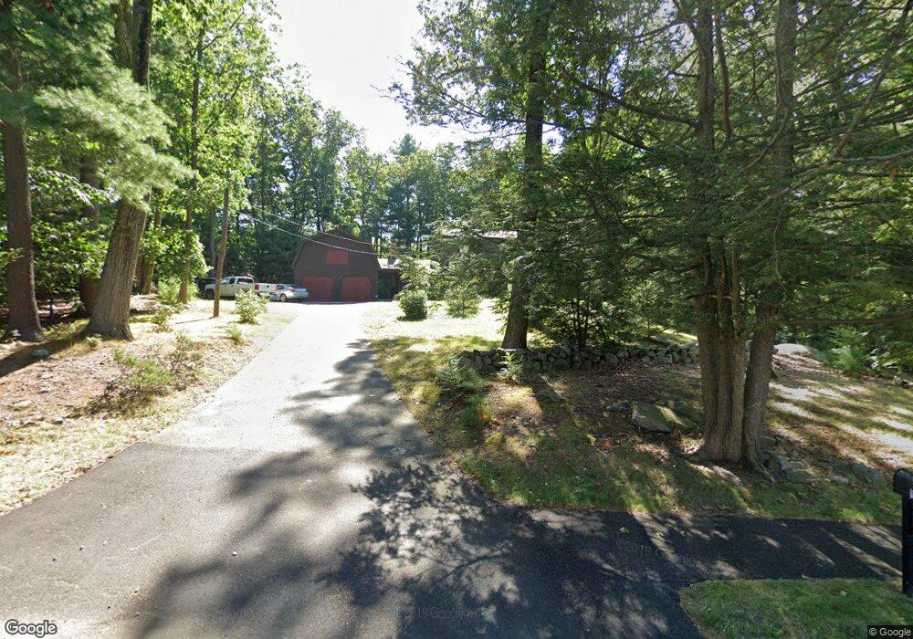
19 Marlyn Rd Billerica, MA 01821
Estimated Value: $768,000 - $889,000
4
Beds
4
Baths
2,678
Sq Ft
$304/Sq Ft
Est. Value
About This Home
This home is located at 19 Marlyn Rd, Billerica, MA 01821 and is currently estimated at $812,817, approximately $303 per square foot. 19 Marlyn Rd is a home located in Middlesex County with nearby schools including Billerica Memorial High School.
Ownership History
Date
Name
Owned For
Owner Type
Purchase Details
Closed on
Mar 10, 2025
Sold by
Turcott Stephen G
Bought by
Stephen G Turcott T G and Stephen Turcott
Current Estimated Value
Purchase Details
Closed on
Aug 31, 2001
Sold by
Harring John H and Harring Mary M
Bought by
Turcott Stephen G
Home Financials for this Owner
Home Financials are based on the most recent Mortgage that was taken out on this home.
Original Mortgage
$245,000
Interest Rate
7.06%
Mortgage Type
Purchase Money Mortgage
Create a Home Valuation Report for This Property
The Home Valuation Report is an in-depth analysis detailing your home's value as well as a comparison with similar homes in the area
Home Values in the Area
Average Home Value in this Area
Purchase History
| Date | Buyer | Sale Price | Title Company |
|---|---|---|---|
| Stephen G Turcott T G | -- | None Available | |
| Stephen G Turcott T G | -- | None Available | |
| Turcott Stephen G | $349,900 | -- | |
| Turcott Stephen G | $349,900 | -- |
Source: Public Records
Mortgage History
| Date | Status | Borrower | Loan Amount |
|---|---|---|---|
| Previous Owner | Turcott Stephen G | $150,000 | |
| Previous Owner | Turcott Stephen G | $245,000 |
Source: Public Records
Tax History Compared to Growth
Tax History
| Year | Tax Paid | Tax Assessment Tax Assessment Total Assessment is a certain percentage of the fair market value that is determined by local assessors to be the total taxable value of land and additions on the property. | Land | Improvement |
|---|---|---|---|---|
| 2025 | $8,427 | $741,200 | $363,700 | $377,500 |
| 2024 | $7,961 | $705,100 | $352,100 | $353,000 |
| 2023 | $7,738 | $651,900 | $320,400 | $331,500 |
| 2022 | $6,958 | $550,500 | $273,800 | $276,700 |
| 2021 | $6,646 | $511,200 | $240,400 | $270,800 |
| 2020 | $6,518 | $501,800 | $231,000 | $270,800 |
| 2019 | $6,418 | $476,100 | $231,000 | $245,100 |
| 2018 | $6,173 | $435,000 | $205,400 | $229,600 |
| 2017 | $5,922 | $420,300 | $203,200 | $217,100 |
| 2016 | $5,877 | $415,600 | $198,500 | $217,100 |
| 2015 | $5,751 | $409,600 | $192,500 | $217,100 |
| 2014 | $5,692 | $398,300 | $186,500 | $211,800 |
Source: Public Records
Map
Nearby Homes
- 91 Pond St
- 133 Salem Rd
- LOT 54B Beverly Rd
- 81 Salem Rd Unit 102
- 396 Boston Rd Unit 103
- 15 Governor Peabody Rd
- 405 Boston Rd Unit 2
- 4 Strand St
- 23 Salem Rd
- 10 Charnstaff Ln Unit 204
- 37 Porter St
- 1 Purcell Dr
- 12 Stoney Dr
- 33 Pages Ct
- 19 Parker St
- 22 Kenmar Dr Unit 194Y
- 14 Kenmar Dr Unit 111
- 2 Karen Cir Unit 2
- 5 Karen Cir Unit 16
- 79 Bridle Rd