19 Mason Rd MerriMacK, NH 03054
1
Bed
1
Bath
1,200
Sq Ft
1.47
Acres
About This Home
Property Id: 2230234
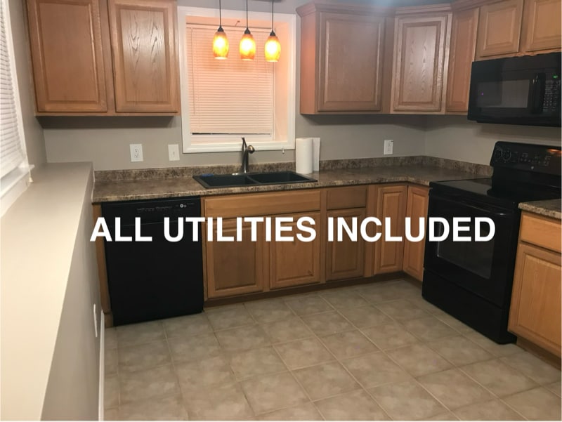
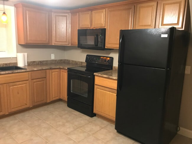
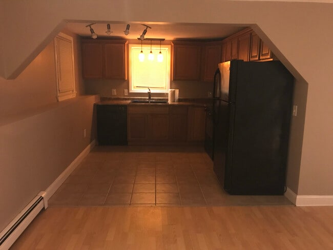
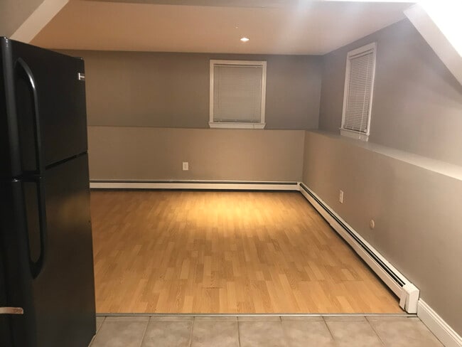
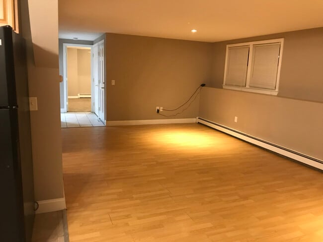
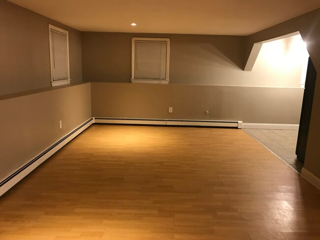
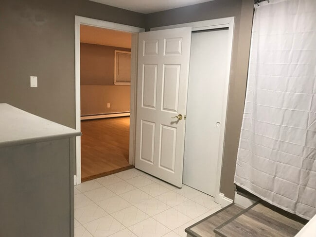
All Inclusive In-Law Apartment - One Bedroom - One Bathroom + Office Area
This in-law is located in a residential neighborhood. It is a great space for a single professional with no pets and doesn't smoke. Private entry, dedicated parking for one vehicle, shoveling, plowing, sand and salt, electricity, high speed fiber internet, heat and private in-unit laundry is all included.
Good credit, background check, first and last months rent is required to move in. No security deposit required.
Listing Provided By

Map
Nearby Homes
- 6 Mason Rd
- 80 Peaslee Rd
- 105 Seaverns Bridge Rd
- 103 Seaverns Bridge Rd
- 1 County Rd
- 101-2 Seaverns Bridge Rd
- 4 Pollard Rd
- 11 Queens Way
- 148 County Rd
- 150 County Rd Unit 4-142-8
- 150 County Rd
- 24 Deerwood Dr
- 40 Captain Bannon Cir
- 4 County Rd
- 2 County Rd
- 15 Seaverns Bridge Rd
- 5 Chandler Ln
- 40 Turkey Hill Rd
- 9 Cambridge Dr
- 3 Beechtree Way
- 29 Cramer Hill Rd
- 3 Lexington Ct
- 17 Powderhouse Rd
- 14 Veterans Rd
- 6 Veterans Rd Unit 15
- 1 Vanderbilt Dr
- 2 Executive Park Dr
- 2 Roedean Dr Unit 303
- 360 Daniel Webster Hwy
- 246 Daniel Webster Hwy
- 185 Indian Rock Rd
- 19A Loop Rd
- 40 Squire Dr
- 6 Dutch Dr
- 4 Twin Bridge Rd
- 29 Capron Rd Unit 90
- 29 Capron Rd Unit 72
- 27 E Ridge Dr Unit 1
- 37 E Ridge Dr Unit 3
- 24 Kessler Farm Dr