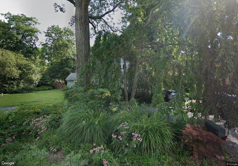
19 Mayo Ave Annapolis, MD 21403
Estimated Value: $1,179,000 - $1,630,000
Studio
2
Baths
2,086
Sq Ft
$653/Sq Ft
Est. Value
About This Home
This home is located at 19 Mayo Ave, Annapolis, MD 21403 and is currently estimated at $1,361,240, approximately $652 per square foot. 19 Mayo Ave is a home located in Anne Arundel County with nearby schools including Georgetown East Elementary School, Annapolis Middle School, and Annapolis High School.
Ownership History
Date
Name
Owned For
Owner Type
Purchase Details
Closed on
Oct 17, 2006
Sold by
Cronin David W
Bought by
Cronin David W and Cronin Carol A
Current Estimated Value
Purchase Details
Closed on
Mar 26, 1993
Sold by
Rodriguez Reynaldo
Bought by
Cronin David W
Home Financials for this Owner
Home Financials are based on the most recent Mortgage that was taken out on this home.
Original Mortgage
$180,000
Interest Rate
7.5%
Create a Home Valuation Report for This Property
The Home Valuation Report is an in-depth analysis detailing your home's value as well as a comparison with similar homes in the area
Home Values in the Area
Average Home Value in this Area
Purchase History
| Date | Buyer | Sale Price | Title Company |
|---|---|---|---|
| Cronin David W | -- | -- | |
| Cronin David W | $325,000 | -- |
Source: Public Records
Mortgage History
| Date | Status | Borrower | Loan Amount |
|---|---|---|---|
| Previous Owner | Cronin David W | $180,000 |
Source: Public Records
Tax History
| Year | Tax Paid | Tax Assessment Tax Assessment Total Assessment is a certain percentage of the fair market value that is determined by local assessors to be the total taxable value of land and additions on the property. | Land | Improvement |
|---|---|---|---|---|
| 2025 | $6,292 | $994,700 | -- | -- |
| 2024 | $6,292 | $907,100 | $0 | $0 |
| 2023 | $5,947 | $819,500 | $678,000 | $141,500 |
| 2022 | $8,123 | $777,367 | $0 | $0 |
| 2020 | $5,257 | $693,100 | $528,000 | $165,100 |
| 2019 | $10,171 | $693,100 | $528,000 | $165,100 |
| 2018 | $7,028 | $693,100 | $528,000 | $165,100 |
| 2017 | $4,855 | $696,700 | $0 | $0 |
| 2016 | -- | $684,033 | $0 | $0 |
| 2015 | -- | $671,367 | $0 | $0 |
| 2014 | -- | $658,700 | $0 | $0 |
Source: Public Records
Map
Nearby Homes
- 90 E Lake Dr
- 113 Bay Dr
- 2 River Dr
- 48 E Lake Dr
- 22 E Lake Dr
- 1200 Bay Ave
- 3135 Anchorage Dr
- 1202 Chrisland Ct
- 1106 Mainsail Dr
- 3300 Shore Dr
- 3130 Starboard Dr
- 1353 Washington Dr
- 3365 Arundel on The Bay Rd
- 3338 Arundel on The Bay Rd
- 3320 Arundel on The Bay Rd
- 2642 Queen Anne Cir
- 3249 Arundel on The Bay Rd
- 2644 Claibourne Rd
- 3280 Arundel on The Bay Rd
- 2654 Ogleton Rd
Your Personal Tour Guide
Ask me questions while you tour the home.