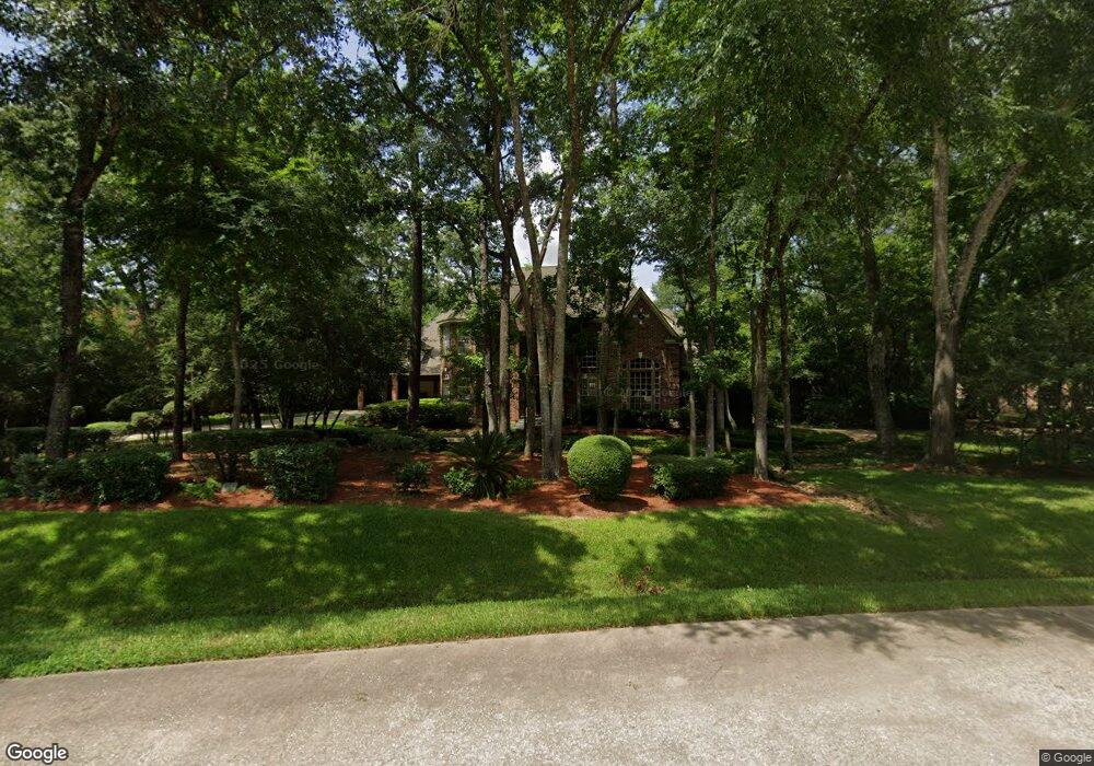
19 Misty Grove Cir Spring, TX 77380
Grogan's Mill NeighborhoodEstimated Value: $1,018,000 - $1,651,000
--
Bed
4
Baths
4,125
Sq Ft
$307/Sq Ft
Est. Value
About This Home
This home is located at 19 Misty Grove Cir, Spring, TX 77380 and is currently estimated at $1,268,062, approximately $307 per square foot. 19 Misty Grove Cir is a home located in Montgomery County with nearby schools including Hailey Elementary School, W.D Wilkerson Intermediate School, and Knox J High School.
Ownership History
Date
Name
Owned For
Owner Type
Purchase Details
Closed on
Jul 7, 2025
Sold by
Mcwilliams David B and Mcwilliams Nancy
Bought by
Blue Bug Revocable Trust
Current Estimated Value
Purchase Details
Closed on
Jun 28, 1993
Sold by
Bouillion Elliott and Bouillion Judith
Bought by
Mcwilliams David B and Mcwilliams Nancy
Purchase Details
Closed on
May 31, 1990
Sold by
Gary Lyons Building Inc
Bought by
Mcwilliams David B and Mcwilliams Nancy
Purchase Details
Closed on
Dec 4, 1989
Sold by
Woodlands Corp
Bought by
Mcwilliams David B and Mcwilliams Nancy
Create a Home Valuation Report for This Property
The Home Valuation Report is an in-depth analysis detailing your home's value as well as a comparison with similar homes in the area
Home Values in the Area
Average Home Value in this Area
Purchase History
| Date | Buyer | Sale Price | Title Company |
|---|---|---|---|
| Blue Bug Revocable Trust | -- | None Listed On Document | |
| Mcwilliams David B | -- | -- | |
| Mcwilliams David B | -- | -- | |
| Mcwilliams David B | -- | -- |
Source: Public Records
Tax History Compared to Growth
Tax History
| Year | Tax Paid | Tax Assessment Tax Assessment Total Assessment is a certain percentage of the fair market value that is determined by local assessors to be the total taxable value of land and additions on the property. | Land | Improvement |
|---|---|---|---|---|
| 2025 | $8,134 | $802,944 | -- | -- |
| 2024 | $8,134 | $729,949 | -- | -- |
| 2023 | $7,864 | $663,590 | $120,000 | $687,070 |
| 2022 | $12,191 | $603,260 | $120,000 | $647,030 |
| 2021 | $11,965 | $548,420 | $59,530 | $488,890 |
| 2020 | $13,167 | $578,020 | $59,530 | $518,490 |
| 2019 | $15,374 | $653,040 | $59,530 | $593,510 |
| 2018 | $13,191 | $637,600 | $59,530 | $578,070 |
| 2017 | $19,259 | $808,020 | $59,530 | $750,370 |
| 2016 | $17,508 | $734,560 | $59,530 | $750,370 |
| 2015 | $12,272 | $667,780 | $59,530 | $868,010 |
| 2014 | $12,272 | $607,070 | $59,530 | $547,540 |
Source: Public Records
Map
Nearby Homes
- 27 Misty Grove Cir
- 6 Misty Point
- 30 Halfmoon Ct
- 24290 Glen Loch Dr
- 98 Northgate Dr
- 38 Southgate Dr
- 24418 Glen Loch Dr
- 24414 Pine Canyon Dr
- 0 Cottonwood Cove Ln
- 193 Grogans Point Rd
- 24606 Glen Loch Dr
- 205 Grogans Point Rd
- 24530 Pine Canyon Dr
- 4939 Creekside Haven Trail
- 24203 Birchwood Creek Ct
- 24710 Glen Loch Dr
- 25234 Calhoun Creek Dr
- 24330 S Newcastle Bay Trail
- 24322 S Newcastle Bay Trail
- 25225 Liberty Mill Dr
- 15 Misty Grove Cir
- 24 Misty Grove Cir
- 11 Misty Grove Cir
- 3 Misty Point
- 22 Red Sable Point
- 18 Red Sable Point
- 30 Misty Grove Cir
- 14 Red Sable Point
- 7 Misty Grove Cir
- 31 Misty Grove Cir
- 26 Red Sable Place
- 9 Misty Point
- 2 Pastoral Pond Cir
- 36 Misty Grove Cir
- 1 Pastoral Pond Cir
- 32 Red Sable Place
- 35 Misty Grove Cir
- 3 Misty Grove Cir
- 6 Red Sable Point
- 19 Red Sable Point