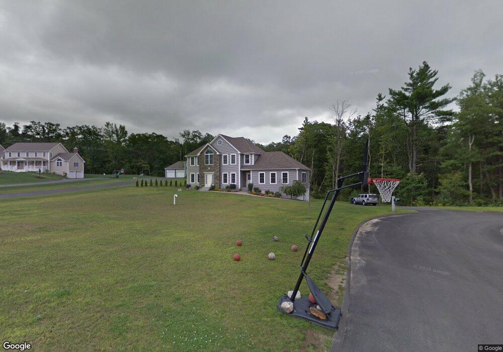
19 Morris Ln Rutland, MA 01543
Estimated Value: $661,000 - $772,000
3
Beds
3
Baths
2,748
Sq Ft
$256/Sq Ft
Est. Value
About This Home
This home is located at 19 Morris Ln, Rutland, MA 01543 and is currently estimated at $702,400, approximately $255 per square foot. 19 Morris Ln is a home located in Worcester County with nearby schools including Wachusett Regional High School.
Ownership History
Date
Name
Owned For
Owner Type
Purchase Details
Closed on
Jul 27, 2009
Sold by
J M Soucy Contractor I
Bought by
El-Qasem Ben N and El-Qasem Tonya L
Current Estimated Value
Home Financials for this Owner
Home Financials are based on the most recent Mortgage that was taken out on this home.
Original Mortgage
$373,018
Outstanding Balance
$244,791
Interest Rate
5.58%
Mortgage Type
Purchase Money Mortgage
Estimated Equity
$457,609
Create a Home Valuation Report for This Property
The Home Valuation Report is an in-depth analysis detailing your home's value as well as a comparison with similar homes in the area
Home Values in the Area
Average Home Value in this Area
Purchase History
| Date | Buyer | Sale Price | Title Company |
|---|---|---|---|
| El-Qasem Ben N | $379,900 | -- |
Source: Public Records
Mortgage History
| Date | Status | Borrower | Loan Amount |
|---|---|---|---|
| Open | El-Qasem Ben N | $373,018 |
Source: Public Records
Tax History Compared to Growth
Tax History
| Year | Tax Paid | Tax Assessment Tax Assessment Total Assessment is a certain percentage of the fair market value that is determined by local assessors to be the total taxable value of land and additions on the property. | Land | Improvement |
|---|---|---|---|---|
| 2025 | $8,806 | $618,400 | $112,500 | $505,900 |
| 2024 | $8,751 | $590,100 | $100,900 | $489,200 |
| 2023 | $8,059 | $587,400 | $95,200 | $492,200 |
| 2022 | $7,510 | $475,600 | $80,500 | $395,100 |
| 2021 | $7,383 | $442,100 | $80,500 | $361,600 |
| 2020 | $7,328 | $416,100 | $75,700 | $340,400 |
| 2019 | $7,313 | $408,800 | $69,400 | $339,400 |
| 2018 | $6,995 | $385,800 | $69,400 | $316,400 |
| 2017 | $7,068 | $385,800 | $69,400 | $316,400 |
| 2016 | $6,613 | $380,700 | $66,700 | $314,000 |
| 2015 | $6,508 | $368,700 | $66,700 | $302,000 |
| 2014 | $6,308 | $368,700 | $66,700 | $302,000 |
Source: Public Records
Map
Nearby Homes
- LOT 8 Pierre Cir
- 11 Brigham Rd
- 252 Pleasantdale Rd
- 21 Wildbrook Dr
- 7 Emerald Rd
- 236 Turkey Hill Rd
- 7 Victoria Ave
- 2 Kosta Ave
- 4 Black Hill Rd
- 14 Welch Ave Unit A
- Lot 11 Pleasantdale Rd
- 4 Wilson Way
- 289 Richards Ave
- 230 West St
- 19 Keep Ave
- 189 Maple Ave
- 176 Maple Ave Unit 1-38
- 176 Maple Ave Unit 3-25
- 176 Maple Ave Unit 2-26
- 18 Shore Dr