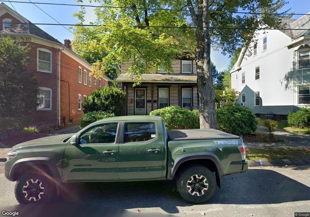
19 Munroe St Northampton, MA 01060
Estimated Value: $515,120 - $690,000
4
Beds
2
Baths
2,269
Sq Ft
$273/Sq Ft
Est. Value
About This Home
This home is located at 19 Munroe St, Northampton, MA 01060 and is currently estimated at $619,780, approximately $273 per square foot. 19 Munroe St is a home located in Hampshire County with nearby schools including Northampton High School, Hilltown Cooperative Charter Public School, and The Montessori School of Northampton.
Ownership History
Date
Name
Owned For
Owner Type
Purchase Details
Closed on
Jul 8, 2023
Sold by
Passage Holdings Llc
Bought by
Passage Holdings Llc
Current Estimated Value
Purchase Details
Closed on
Mar 5, 2010
Sold by
Descarage Stephanie J
Bought by
Passage Holdings Llc
Create a Home Valuation Report for This Property
The Home Valuation Report is an in-depth analysis detailing your home's value as well as a comparison with similar homes in the area
Home Values in the Area
Average Home Value in this Area
Purchase History
We collect this data history from publicly available records. To have your information removed, we recommend requesting removal directly through your county’s website.
| Date | Buyer | Sale Price | Title Company |
|---|---|---|---|
| Passage Holdings Llc | -- | None Available | |
| Passage Holdings Llc | -- | None Available | |
| Passage Holdings Llc | -- | -- | |
| Passage Holdings Llc | -- | -- |
Source: Public Records
Tax History
| Year | Tax Paid | Tax Assessment Tax Assessment Total Assessment is a certain percentage of the fair market value that is determined by local assessors to be the total taxable value of land and additions on the property. | Land | Improvement |
|---|---|---|---|---|
| 2025 | $6,037 | $433,400 | $237,200 | $196,200 |
| 2024 | $6,337 | $417,200 | $215,700 | $201,500 |
| 2023 | $6,246 | $394,300 | $194,700 | $199,600 |
| 2022 | $6,236 | $348,600 | $181,900 | $166,700 |
| 2021 | $6,187 | $356,200 | $170,700 | $185,500 |
| 2020 | $5,984 | $356,200 | $170,700 | $185,500 |
| 2019 | $5,960 | $343,100 | $170,700 | $172,400 |
| 2018 | $5,724 | $335,900 | $170,700 | $165,200 |
| 2017 | $5,606 | $335,900 | $170,700 | $165,200 |
| 2016 | $5,428 | $335,900 | $170,700 | $165,200 |
| 2015 | $5,088 | $322,000 | $152,500 | $169,500 |
| 2014 | $4,956 | $322,000 | $152,500 | $169,500 |
Source: Public Records
Map
Nearby Homes
- 19 East St Unit A
- 21 Lyman Rd Unit B
- 179 South St
- 8 Edgewood Terrace
- 12 School St
- 86 Conz St
- 35 New South St Unit 402
- 244 Main St
- 283 South St
- 231 Main St Unit 3R
- 14 Khloe Ln
- 11 Khloe Ln
- 12 Khloe Ln
- 18 Khloe Ln
- 10 Khloe Ln
- 16 Khloe Ln
- 17 Khloe Ln
- 43 Center St Unit K
- 107 Williams St
- 107 Williams St Unit 2B
Your Personal Tour Guide
Ask me questions while you tour the home.