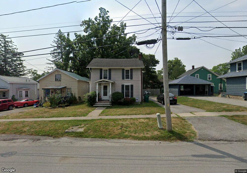
19 Myrtle St Le Roy, NY 14482
Estimated Value: $180,000 - $247,000
3
Beds
2
Baths
2,255
Sq Ft
$90/Sq Ft
Est. Value
About This Home
This home is located at 19 Myrtle St, Le Roy, NY 14482 and is currently estimated at $203,057, approximately $90 per square foot. 19 Myrtle St is a home located in Genesee County with nearby schools including Wolcott Street School, Le Roy Junior/Senior High School, and Holy Family School.
Ownership History
Date
Name
Owned For
Owner Type
Purchase Details
Closed on
Dec 23, 2002
Sold by
Capwell Todd
Bought by
Fuchs Steven J
Current Estimated Value
Purchase Details
Closed on
Jul 16, 2001
Sold by
Cecere Louis M
Bought by
Capwell Todd A
Purchase Details
Closed on
Mar 23, 2000
Sold by
Charter One Bank Fsb
Bought by
Cecere Louis M
Purchase Details
Closed on
Jun 25, 1998
Create a Home Valuation Report for This Property
The Home Valuation Report is an in-depth analysis detailing your home's value as well as a comparison with similar homes in the area
Home Values in the Area
Average Home Value in this Area
Purchase History
| Date | Buyer | Sale Price | Title Company |
|---|---|---|---|
| Fuchs Steven J | $85,000 | Robert B. Mccutcheon | |
| Capwell Todd A | $69,000 | None | |
| Cecere Louis M | $36,500 | Colleen S Head | |
| -- | $44,319 | -- |
Source: Public Records
Tax History Compared to Growth
Tax History
| Year | Tax Paid | Tax Assessment Tax Assessment Total Assessment is a certain percentage of the fair market value that is determined by local assessors to be the total taxable value of land and additions on the property. | Land | Improvement |
|---|---|---|---|---|
| 2024 | $3,742 | $132,000 | $6,000 | $126,000 |
| 2023 | $4,793 | $98,000 | $6,000 | $92,000 |
| 2022 | $4,771 | $98,000 | $6,000 | $92,000 |
| 2021 | $4,817 | $98,000 | $6,000 | $92,000 |
| 2020 | $4,072 | $98,000 | $6,000 | $92,000 |
| 2019 | $3,795 | $98,000 | $6,000 | $92,000 |
| 2018 | $3,795 | $98,000 | $6,000 | $92,000 |
| 2017 | $3,255 | $82,200 | $6,000 | $76,200 |
| 2016 | $3,214 | $82,200 | $6,000 | $76,200 |
| 2015 | -- | $83,000 | $6,800 | $76,200 |
| 2014 | -- | $83,000 | $6,800 | $76,200 |
Source: Public Records
Map
Nearby Homes
- 54 Wolcott St
- 86 Myrtle St
- 76 Wolcott St
- 21 Elm St
- 113 Myrtle St
- 64 Summit St
- 14 Maple Ave
- 91 South St
- 9195 Summit Street Rd
- 80 E Main St
- 9 Jefferson Ave
- Standard Unit Plan at Ivy Village
- Premium Unit Plan at Ivy Village
- 6987 E Bethany Leroy Rd
- 9291 Asbury Rd
- 8522 Lake Street Rd
- 0 Main Rd Unit R1631097
- 9692 Summit Street Rd
- 6936 Britt Rd
- 9824 Lake St