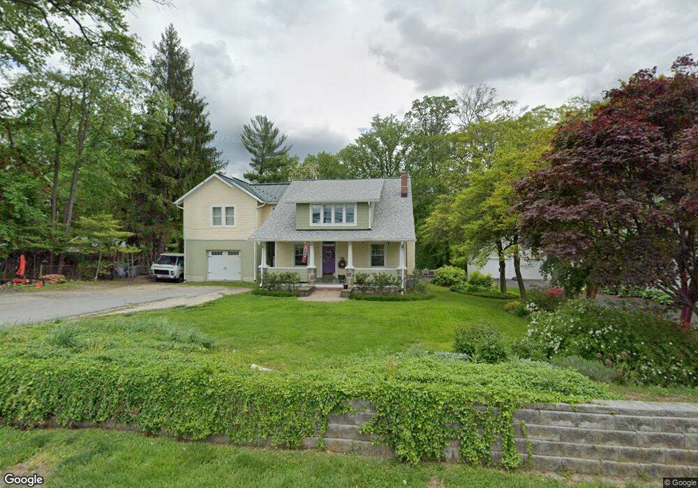
19 N Rolling Rd Catonsville, MD 21228
Estimated Value: $607,072 - $746,000
Studio
1
Bath
2,286
Sq Ft
$296/Sq Ft
Est. Value
About This Home
This home is located at 19 N Rolling Rd, Catonsville, MD 21228 and is currently estimated at $675,768, approximately $295 per square foot. 19 N Rolling Rd is a home located in Baltimore County with nearby schools including Hillcrest Elementary School, Catonsville Middle School, and Catonsville High School.
Ownership History
Date
Name
Owned For
Owner Type
Purchase Details
Closed on
Oct 5, 1994
Sold by
Edmonds Isabel B
Bought by
Wack James C
Current Estimated Value
Home Financials for this Owner
Home Financials are based on the most recent Mortgage that was taken out on this home.
Original Mortgage
$140,600
Interest Rate
8.55%
Purchase Details
Closed on
Jun 27, 1974
Sold by
Ray Peggy Ann
Bought by
Edmonds Clay D
Create a Home Valuation Report for This Property
The Home Valuation Report is an in-depth analysis detailing your home's value as well as a comparison with similar homes in the area
Home Values in the Area
Average Home Value in this Area
Purchase History
| Date | Buyer | Sale Price | Title Company |
|---|---|---|---|
| Wack James C | $148,000 | -- | |
| Edmonds Clay D | $41,000 | -- |
Source: Public Records
Mortgage History
| Date | Status | Borrower | Loan Amount |
|---|---|---|---|
| Closed | Wack James C | $140,600 |
Source: Public Records
Tax History
| Year | Tax Paid | Tax Assessment Tax Assessment Total Assessment is a certain percentage of the fair market value that is determined by local assessors to be the total taxable value of land and additions on the property. | Land | Improvement |
|---|---|---|---|---|
| 2025 | $5,297 | $558,933 | -- | -- |
| 2024 | $5,297 | $552,800 | $154,200 | $398,600 |
| 2023 | $2,547 | $547,200 | $0 | $0 |
| 2022 | $4,827 | $541,600 | $0 | $0 |
| 2021 | $4,711 | $536,000 | $154,200 | $381,800 |
| 2020 | $4,711 | $512,000 | $0 | $0 |
| 2019 | $4,689 | $488,000 | $0 | $0 |
| 2018 | $4,515 | $464,000 | $112,200 | $351,800 |
| 2017 | $4,442 | $457,900 | $0 | $0 |
| 2016 | $3,175 | $451,800 | $0 | $0 |
| 2015 | $3,175 | $445,700 | $0 | $0 |
| 2014 | $3,175 | $445,700 | $0 | $0 |
Source: Public Records
Map
Nearby Homes
- 1900 Lismore Ln
- 2008 Rollingwood Rd
- 124 Oakdale Ave
- 122 Wyndcrest Ave
- 608 Meyers Dr
- 29 Upman Ct
- 2029 Norhurst Way S
- 627 Meyers Dr
- 627 Meyers Dr Unit PARCEL 108
- 343 N Beaumont Ave
- 2 Park Dr
- 201 Suter Rd
- 0 Melvin Ave
- 177 Winters Ln
- 6040 Old Frederick Rd
- 206 Winters Ln
- 15 Shipley Ave
- 133 Wesley Ave
- 409 Oak Ct
- 1111 Cummings Ave
- 21 N Rolling Rd
- 17 N Rolling Rd
- 1901 Clifden Rd
- 15 N Rolling Rd
- 24 N Rolling Rd
- 1900 Rollingwood Rd
- 23 N Rolling Rd
- 1903 Clifden Rd
- 26 N Rolling Rd
- 13 N Rolling Rd
- 1902 Rollingwood Rd
- 28 N Rolling Rd
- 1905 Clifden Rd
- 18 N Rolling Rd
- 1904 Rollingwood Rd
- 25 N Rolling Rd
- 1907 Clifden Rd
- 1904 Lismore Ln
- 142 Edgewood Ave
- 30 N Rolling Rd
Your Personal Tour Guide
Ask me questions while you tour the home.