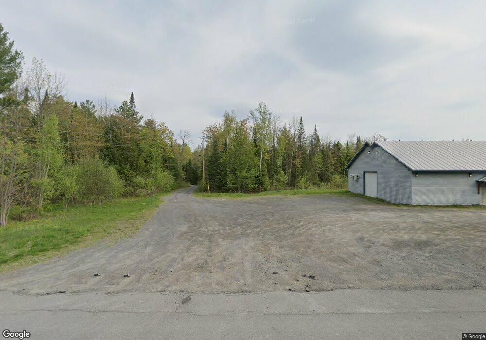
19 Natures Ln Mercer, ME 04957
Estimated Value: $411,000 - $507,000
--
Bed
2
Baths
--
Sq Ft
35.72
Acres
About This Home
This home is located at 19 Natures Ln, Mercer, ME 04957 and is currently estimated at $449,833. 19 Natures Ln is a home located in Somerset County.
Ownership History
Date
Name
Owned For
Owner Type
Purchase Details
Closed on
Oct 27, 2022
Sold by
Ross Doreen R
Bought by
Walter Tina M
Current Estimated Value
Home Financials for this Owner
Home Financials are based on the most recent Mortgage that was taken out on this home.
Original Mortgage
$295,375
Outstanding Balance
$286,165
Interest Rate
6.92%
Mortgage Type
Stand Alone Refi Refinance Of Original Loan
Estimated Equity
$163,668
Create a Home Valuation Report for This Property
The Home Valuation Report is an in-depth analysis detailing your home's value as well as a comparison with similar homes in the area
Home Values in the Area
Average Home Value in this Area
Purchase History
| Date | Buyer | Sale Price | Title Company |
|---|---|---|---|
| Walter Tina M | $347,500 | None Available | |
| Walter Tina M | $347,500 | None Available |
Source: Public Records
Mortgage History
| Date | Status | Borrower | Loan Amount |
|---|---|---|---|
| Open | Walter Tina M | $295,375 | |
| Closed | Walter Tina M | $295,375 |
Source: Public Records
Tax History Compared to Growth
Tax History
| Year | Tax Paid | Tax Assessment Tax Assessment Total Assessment is a certain percentage of the fair market value that is determined by local assessors to be the total taxable value of land and additions on the property. | Land | Improvement |
|---|---|---|---|---|
| 2024 | $4,065 | $387,100 | $102,300 | $284,800 |
| 2023 | $5,790 | $311,268 | $57,329 | $253,939 |
| 2022 | $5,489 | $311,862 | $57,923 | $253,939 |
| 2021 | $5,489 | $311,862 | $57,923 | $253,939 |
| 2020 | $5,489 | $311,862 | $57,923 | $253,939 |
| 2019 | $11,669 | $674,537 | $58,625 | $615,912 |
| 2018 | $11,062 | $674,537 | $58,625 | $615,912 |
| 2017 | $10,177 | $636,434 | $58,625 | $577,809 |
| 2016 | $4,930 | $309,064 | $55,125 | $253,939 |
| 2015 | $4,889 | $309,064 | $55,125 | $253,939 |
| 2014 | $4,710 | $309,064 | $55,125 | $253,939 |
Source: Public Records
Map
Nearby Homes
- M18L13 Mercer Rd
- 510 Branns Mill Rd
- 257 Sandy River Rd
- 735 Sandy River Rd
- Lot 1 Oak Hill Rd
- Lot 2 Oak Hill Rd
- M1 L19 Homestead Hill Rd
- 43 Doane Rd
- 10 Trista Ln
- 0 Poor Farm Rd Unit 1637355
- 2679 Industry Rd
- Lot 59&60 Starks Rd
- 17 Anson Rd
- 331 Beans Corner Rd
- 88 Childs Rd
- 6 Lufkin Ln
- 61 Kincaid Ln
- 137 Butterfield Rd
- 257 Sawyers Mills Rd
- 21 Airport Rd