19 Naushon Cir Falmouth, MA 2540
West Falmouth NeighborhoodEstimated Value: $3,135,000 - $7,376,211
6
Beds
10
Baths
6,393
Sq Ft
$822/Sq Ft
Est. Value
About This Home
This home is located at 19 Naushon Cir, Falmouth, MA 2540 and is currently estimated at $5,255,606, approximately $822 per square foot. 19 Naushon Cir is a home located in Barnstable County with nearby schools including North Falmouth Elementary School, Morse Pond School, and Lawrence School.
Ownership History
Date
Name
Owned For
Owner Type
Purchase Details
Closed on
Feb 15, 2011
Sold by
162-167 Naushon T and 162-167 Bulman
Bought by
Barletta Cape Props Lp
Current Estimated Value
Create a Home Valuation Report for This Property
The Home Valuation Report is an in-depth analysis detailing your home's value as well as a comparison with similar homes in the area
Home Values in the Area
Average Home Value in this Area
Purchase History
| Date | Buyer | Sale Price | Title Company |
|---|---|---|---|
| Barletta Cape Props Lp | -- | -- | |
| Barletta Cape Props Lp | -- | -- | |
| Barletta Cape Props Lp | -- | -- |
Source: Public Records
Tax History Compared to Growth
Tax History
| Year | Tax Paid | Tax Assessment Tax Assessment Total Assessment is a certain percentage of the fair market value that is determined by local assessors to be the total taxable value of land and additions on the property. | Land | Improvement |
|---|---|---|---|---|
| 2025 | $59,222 | $10,089,000 | $2,333,400 | $7,755,600 |
| 2024 | $58,149 | $9,259,400 | $2,220,000 | $7,039,400 |
| 2023 | $60,904 | $8,801,200 | $2,220,000 | $6,581,200 |
| 2022 | $61,042 | $7,582,800 | $1,851,600 | $5,731,200 |
| 2021 | $63,761 | $7,501,300 | $1,771,100 | $5,730,200 |
| 2020 | $62,996 | $7,333,700 | $1,610,100 | $5,723,600 |
| 2019 | $60,357 | $7,051,100 | $1,610,100 | $5,441,000 |
| 2018 | $42,862 | $6,762,000 | $1,610,100 | $5,151,900 |
| 2017 | $32,995 | $3,868,100 | $1,610,100 | $2,258,000 |
| 2016 | $28,231 | $3,372,900 | $1,610,100 | $1,762,800 |
| 2015 | $20,668 | $2,523,600 | $1,610,100 | $913,500 |
| 2014 | $13,122 | $1,610,100 | $1,610,100 | $0 |
Source: Public Records
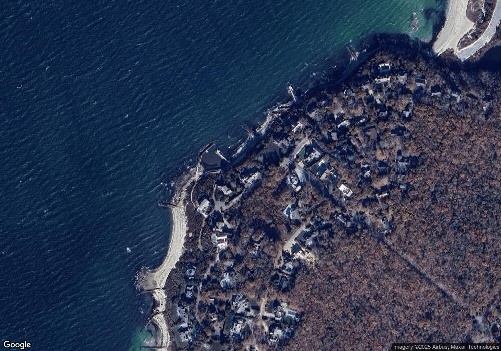
Map
Nearby Homes
- 37 Nemasket Rd
- 37 Nemsaket Rd
- 38 Nemasket Rd
- 22 Acorn Dr
- 0 Quaker Rd Unit 22504204
- 0 Quaker Rd Unit 73423088
- 345 Quaker Rd
- 7 Pilgrim Path
- 102 Nashawena St
- 850 W Falmouth Hwy Unit 11
- 908 W Falmouth Hwy
- 106 Ambleside Dr
- 4 Ambleside Dr
- 121 Streeter Hill Rd
- 121 Streeter Hill Rd
- 40 Point Rd
- 213 N Falmouth Hwy Unit 5A
- 213 N Falmouth Hwy Unit 5B
- 213 N Falmouth Hwy Unit 5 A
- 74 Hillside Ave
- 21 Naushon Cir
- 68 Cliff Rd
- 0 Uncatena N Unit N
- 0 Uncatena N Unit 21606499
- 2 Uncatena N
- 23 Naushon Cir
- 24 Naushon N
- 7 Uncatena N
- 7 Naushon Rd S
- 6 Uncatena N
- 148 Naushon Rd S
- 171 Naushon Rd S
- 23 Naushon Rd S
- 47 Naushon Rd S
- 2 Naushon N
- 15 Naushon Cir
- 8 Naushon Rd S
- 14 Naushon Rd S
- 10 Naushon Rd N
- 18 Naushon S