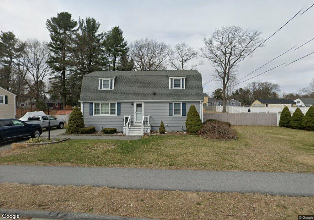
19 Nolte Rd Billerica, MA 01821
Estimated Value: $687,000 - $747,000
3
Beds
2
Baths
2,304
Sq Ft
$313/Sq Ft
Est. Value
About This Home
This home is located at 19 Nolte Rd, Billerica, MA 01821 and is currently estimated at $720,692, approximately $312 per square foot. 19 Nolte Rd is a home located in Middlesex County with nearby schools including Billerica Memorial High School and Knowledge Beginnings South.
Ownership History
Date
Name
Owned For
Owner Type
Purchase Details
Closed on
Apr 2, 1992
Sold by
Moniak Donald V and Moniak Rose A
Bought by
Carco Teresa A
Current Estimated Value
Create a Home Valuation Report for This Property
The Home Valuation Report is an in-depth analysis detailing your home's value as well as a comparison with similar homes in the area
Home Values in the Area
Average Home Value in this Area
Purchase History
| Date | Buyer | Sale Price | Title Company |
|---|---|---|---|
| Carco Teresa A | $146,000 | -- |
Source: Public Records
Mortgage History
| Date | Status | Borrower | Loan Amount |
|---|---|---|---|
| Open | Carco Teresa A | $172,500 | |
| Closed | Carco Teresa A | $162,500 | |
| Closed | Carco Teresa A | $115,000 | |
| Closed | Carco Teresa A | $110,000 |
Source: Public Records
Tax History Compared to Growth
Tax History
| Year | Tax Paid | Tax Assessment Tax Assessment Total Assessment is a certain percentage of the fair market value that is determined by local assessors to be the total taxable value of land and additions on the property. | Land | Improvement |
|---|---|---|---|---|
| 2025 | $6,669 | $586,500 | $288,300 | $298,200 |
| 2024 | $6,417 | $568,400 | $279,100 | $289,300 |
| 2023 | $6,213 | $523,400 | $254,000 | $269,400 |
| 2022 | $5,567 | $440,400 | $217,000 | $223,400 |
| 2021 | $5,317 | $409,000 | $190,600 | $218,400 |
| 2020 | $5,215 | $401,500 | $183,100 | $218,400 |
| 2019 | $5,027 | $372,900 | $183,100 | $189,800 |
| 2018 | $4,823 | $339,900 | $162,800 | $177,100 |
| 2017 | $4,600 | $326,500 | $161,100 | $165,400 |
| 2016 | $4,564 | $322,800 | $157,400 | $165,400 |
| 2015 | $4,461 | $317,700 | $152,600 | $165,100 |
| 2014 | $4,504 | $315,200 | $147,900 | $167,300 |
Source: Public Records
Map
Nearby Homes
- 79 Bridle Rd
- 21 Shedd Rd
- 15 Blades Cir
- 23 Salem Rd
- 10 Avondale Ave
- 90 Rangeway Rd Unit 303
- 14 Elsie Ave
- 19 Parker St
- 17 Blackstone Rd
- 20 Pollard St
- Map29-14-1 Rangeway Rd
- 396 Boston Rd Unit 103
- 216 Rangeway Rd Unit 192
- 81 Salem Rd Unit 102
- 405 Boston Rd Unit 2
- 6 Kohlrausch Ave
- 38-40 Talbot Ave
- LOT 54B Beverly Rd
- 91 Pond St
- 5 Karen Cir Unit 16