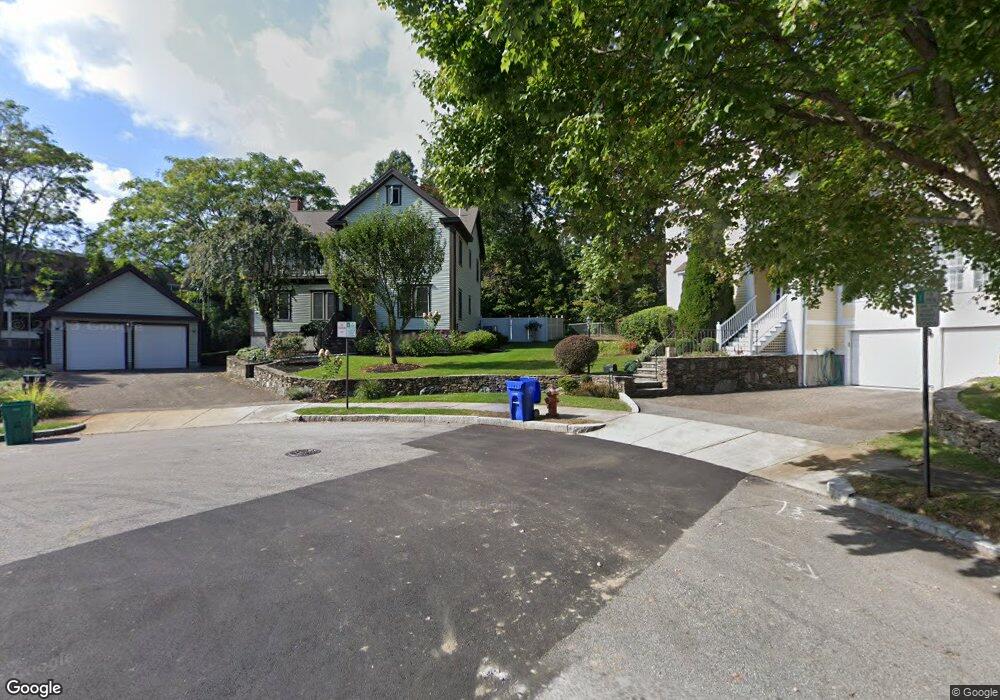
19 Norumbega Ct Auburndale, MA 02466
Auburndale NeighborhoodEstimated Value: $1,579,000 - $2,174,000
4
Beds
3
Baths
2,667
Sq Ft
$716/Sq Ft
Est. Value
About This Home
This home is located at 19 Norumbega Ct, Auburndale, MA 02466 and is currently estimated at $1,909,007, approximately $715 per square foot. 19 Norumbega Ct is a home located in Middlesex County with nearby schools including Williams Elementary School, Charles E Brown Middle School, and Newton South High School.
Ownership History
Date
Name
Owned For
Owner Type
Purchase Details
Closed on
Dec 29, 2020
Sold by
Prakash Mayank and Prakash Archana
Bought by
Prakash Ft 2020
Current Estimated Value
Purchase Details
Closed on
Aug 18, 1998
Sold by
Anchor Rt and Yeaw Everett
Bought by
Prakash Mayank and Prakash Archana
Create a Home Valuation Report for This Property
The Home Valuation Report is an in-depth analysis detailing your home's value as well as a comparison with similar homes in the area
Home Values in the Area
Average Home Value in this Area
Purchase History
| Date | Buyer | Sale Price | Title Company |
|---|---|---|---|
| Prakash Ft 2020 | -- | None Available | |
| Prakash Mayank | $572,500 | -- |
Source: Public Records
Mortgage History
| Date | Status | Borrower | Loan Amount |
|---|---|---|---|
| Previous Owner | Prakash Mayank | $345,000 | |
| Previous Owner | Prakash Mayank | $353,500 | |
| Previous Owner | Prakash Mayank | $365,000 |
Source: Public Records
Tax History Compared to Growth
Tax History
| Year | Tax Paid | Tax Assessment Tax Assessment Total Assessment is a certain percentage of the fair market value that is determined by local assessors to be the total taxable value of land and additions on the property. | Land | Improvement |
|---|---|---|---|---|
| 2025 | $16,489 | $1,682,500 | $987,000 | $695,500 |
| 2024 | $15,943 | $1,633,500 | $958,300 | $675,200 |
| 2023 | $15,241 | $1,497,200 | $738,300 | $758,900 |
| 2022 | $14,584 | $1,386,300 | $683,600 | $702,700 |
| 2021 | $14,072 | $1,307,800 | $644,900 | $662,900 |
| 2020 | $13,653 | $1,307,800 | $644,900 | $662,900 |
| 2019 | $13,268 | $1,269,700 | $626,100 | $643,600 |
| 2018 | $12,748 | $1,178,200 | $567,600 | $610,600 |
| 2017 | $12,360 | $1,111,500 | $535,500 | $576,000 |
| 2016 | $11,822 | $1,038,800 | $500,500 | $538,300 |
| 2015 | $11,271 | $970,800 | $467,800 | $503,000 |
Source: Public Records
Map
Nearby Homes
- 27 Oakwood Rd
- 17 Lasell St
- 17 Deforest Rd
- 2202 Commonwealth Ave Unit 2
- 2202 Commonwealth Ave Unit 1
- 283 Melrose St
- 224 Auburn St Unit 224
- 224 Auburn St Unit A
- 226 Auburn St Unit 226
- 283 Woodland Rd
- 1754 Washington St
- 2084 Washington St
- 13 Weir St
- 1639 Washington St
- 62-64 Rowe St Unit B
- 45 Moulton St
- 10 Lorraine Cir
- 17 Gilbert St
- 51 Bourne St
- 45 E Quinobequin Rd
- 20 Norumbega Ct
- 11 Norumbega Ct
- 88 Williston Rd
- 18 Norumbega Ct
- 275 Grove St
- 275 Grove St Unit 2-400
- 245 Grove St
- 233 Grove St
- 72 Williston Rd
- 225 Grove St
- 225 Grove St Unit 3
- 225 Grove St
- 225 Grove St Unit 1
- 62 Oakwood Rd
- 73 Williston Rd
- 56 Oakwood Rd
- 66 Williston Rd
- 221 Grove St
- 221 Grove St Unit 2
- 221 Grove St Unit 1