19 Off Grid Way Canaan, ME 04924
Estimated Value: $254,820 - $290,000
2
Beds
1
Bath
1,520
Sq Ft
$179/Sq Ft
Est. Value
About This Home
This home is located at 19 Off Grid Way, Canaan, ME 04924 and is currently estimated at $271,607, approximately $178 per square foot. 19 Off Grid Way is a home located in Somerset County.
Ownership History
Date
Name
Owned For
Owner Type
Purchase Details
Closed on
Aug 16, 2019
Sold by
Hewitt Elliott E
Bought by
Kenyon Ginger E and Kenyon Douglas H
Current Estimated Value
Purchase Details
Closed on
Mar 17, 2011
Sold by
Canaan Town Of
Bought by
Salisbury Michael
Purchase Details
Closed on
Jun 24, 2009
Sold by
Palmer Richard A
Bought by
Salisbury Michael D and Salisbury Roberta J
Purchase Details
Closed on
Apr 1, 2009
Sold by
Burpee Frederick and Burpee Margaret
Bought by
Salisbury Micahel D and Salisbury Roberta J
Create a Home Valuation Report for This Property
The Home Valuation Report is an in-depth analysis detailing your home's value as well as a comparison with similar homes in the area
Home Values in the Area
Average Home Value in this Area
Purchase History
| Date | Buyer | Sale Price | Title Company |
|---|---|---|---|
| Kenyon Ginger E | -- | -- | |
| Salisbury Michael | -- | -- | |
| Salisbury Michael D | -- | -- | |
| Salisbury Micahel D | -- | -- |
Source: Public Records
Tax History Compared to Growth
Tax History
| Year | Tax Paid | Tax Assessment Tax Assessment Total Assessment is a certain percentage of the fair market value that is determined by local assessors to be the total taxable value of land and additions on the property. | Land | Improvement |
|---|---|---|---|---|
| 2025 | $2,090 | $190,000 | $57,000 | $133,000 |
| 2024 | $2,014 | $190,000 | $57,000 | $133,000 |
| 2023 | $1,927 | $101,400 | $34,800 | $66,600 |
| 2022 | $1,673 | $101,400 | $34,800 | $66,600 |
| 2021 | $1,785 | $101,400 | $34,800 | $66,600 |
| 2020 | $1,595 | $93,800 | $34,800 | $59,000 |
| 2019 | $1,585 | $93,800 | $34,800 | $59,000 |
| 2018 | $1,529 | $93,800 | $34,800 | $59,000 |
| 2017 | $1,678 | $109,700 | $31,100 | $78,600 |
| 2016 | $1,306 | $90,100 | $31,100 | $59,000 |
| 2015 | $1,415 | $90,100 | $31,100 | $59,000 |
| 2014 | $1,442 | $90,100 | $31,100 | $59,000 |
| 2013 | $1,460 | $90,100 | $31,100 | $59,000 |
Source: Public Records
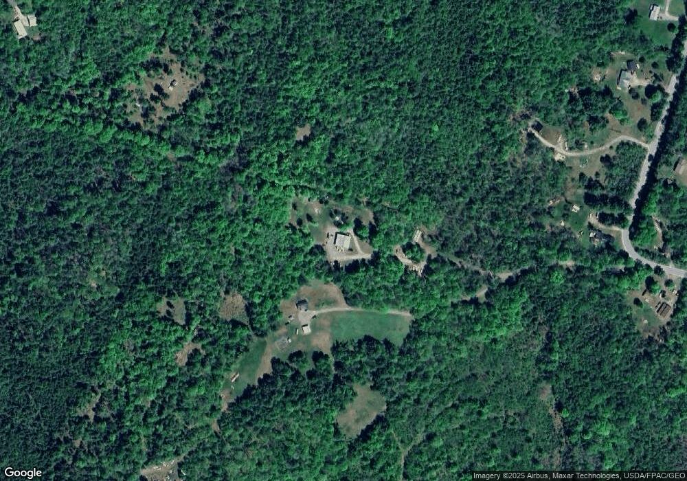
Map
Nearby Homes
- Lot 52 Ella Gerald Rd
- 316 Battle Ridge Rd
- 1107 Hill Rd
- 143 Nelson Hill Rd
- 22 Tobey Rd
- 910 Mutton Ln
- 289 Main St
- 420 Main St
- 480 Johnson Flat Rd
- 7 Bowzer Ln
- Lot 4 Oak Pond Rd
- Lot 3 Oak Pond Rd
- Lot 5 Oak Pond Rd
- Lot 2 Oak Pond Rd
- Lot 1 Oak Pond Rd
- Lot 7 Oak Pond Rd
- Lot 6 Oak Pond Rd
- 62 Pine Valley Dr
- 385 Johnson Flat Rd
- 43 Whitten Rd