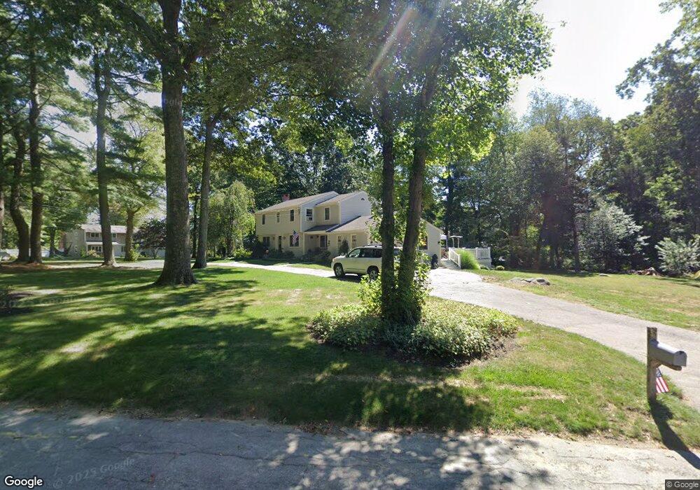
19 Old Forge Rd Scituate, MA 02066
Estimated Value: $1,053,840 - $1,155,000
4
Beds
3
Baths
2,324
Sq Ft
$470/Sq Ft
Est. Value
About This Home
This home is located at 19 Old Forge Rd, Scituate, MA 02066 and is currently estimated at $1,091,460, approximately $469 per square foot. 19 Old Forge Rd is a home located in Plymouth County with nearby schools including Cushing Elementary School, Lester J. Gates Middle School, and Scituate High School.
Ownership History
Date
Name
Owned For
Owner Type
Purchase Details
Closed on
Sep 12, 2019
Sold by
Noonan James P and Noonan Jane E
Bought by
Noonan Ft 2019
Current Estimated Value
Purchase Details
Closed on
Jun 19, 1991
Sold by
Noonan James P and Noonan Jane
Bought by
Brousseau George F
Create a Home Valuation Report for This Property
The Home Valuation Report is an in-depth analysis detailing your home's value as well as a comparison with similar homes in the area
Home Values in the Area
Average Home Value in this Area
Purchase History
| Date | Buyer | Sale Price | Title Company |
|---|---|---|---|
| Noonan Ft 2019 | -- | -- | |
| Brousseau George F | $25,000 | -- |
Source: Public Records
Mortgage History
| Date | Status | Borrower | Loan Amount |
|---|---|---|---|
| Previous Owner | Brousseau George F | $200,000 | |
| Previous Owner | Brousseau George F | $100,000 | |
| Previous Owner | Brousseau George F | $170,000 |
Source: Public Records
Tax History Compared to Growth
Tax History
| Year | Tax Paid | Tax Assessment Tax Assessment Total Assessment is a certain percentage of the fair market value that is determined by local assessors to be the total taxable value of land and additions on the property. | Land | Improvement |
|---|---|---|---|---|
| 2025 | $9,055 | $906,400 | $445,300 | $461,100 |
| 2024 | $8,880 | $857,100 | $404,900 | $452,200 |
| 2023 | $8,750 | $786,200 | $368,100 | $418,100 |
| 2022 | $8,564 | $678,600 | $322,900 | $355,700 |
| 2021 | $8,014 | $601,200 | $307,500 | $293,700 |
| 2020 | $7,772 | $575,700 | $295,700 | $280,000 |
| 2019 | $7,661 | $557,600 | $289,900 | $267,700 |
| 2018 | $7,447 | $533,800 | $287,100 | $246,700 |
| 2017 | $6,928 | $491,700 | $275,100 | $216,600 |
| 2016 | $6,783 | $479,700 | $263,100 | $216,600 |
| 2015 | $6,284 | $479,700 | $263,100 | $216,600 |
Source: Public Records
Map
Nearby Homes
- 116 Old Forge Rd
- 575 First Parish Rd
- 131 Maple St
- 115 Elm St
- 13 Hornbeam Rd
- 111 Elm St
- 627 First Parish Rd
- 290 Beaver Dam Rd
- 14 Aberdeen Dr
- 12 Sassamon Rd
- 2 Webster Farm Way
- 18 James Way
- 56 Sylvester Rd
- 17 Old Oaken Bucket Rd
- 16 Cranberry Ln
- 49 Cornet Stetson Rd
- 25 Webster Farm Way
- 23 Webster Farm Way
- 252 Winter St
- 19 Ford Place Unit 3
- 14 Stearns Rd
- 9 Stearns Rd
- 26 Old Forge Rd
- 5 Old Forge Rd
- 16 Old Forge Rd
- 25 Old Forge Rd
- 15 Stearns Rd
- 20 Stearns Rd
- 11 Agawam Dr
- 4 Old Forge Rd
- 21 Stearns Rd
- 17 Agawam Dr
- 34 Old Forge Rd
- 11 Barrington Way
- 12 Barrington Way
- 37 Old Forge Rd
- 28 Stearns Rd
- 18 Old Forge Rd
- 14 Agawam Dr
- 107 Old Forge Rd