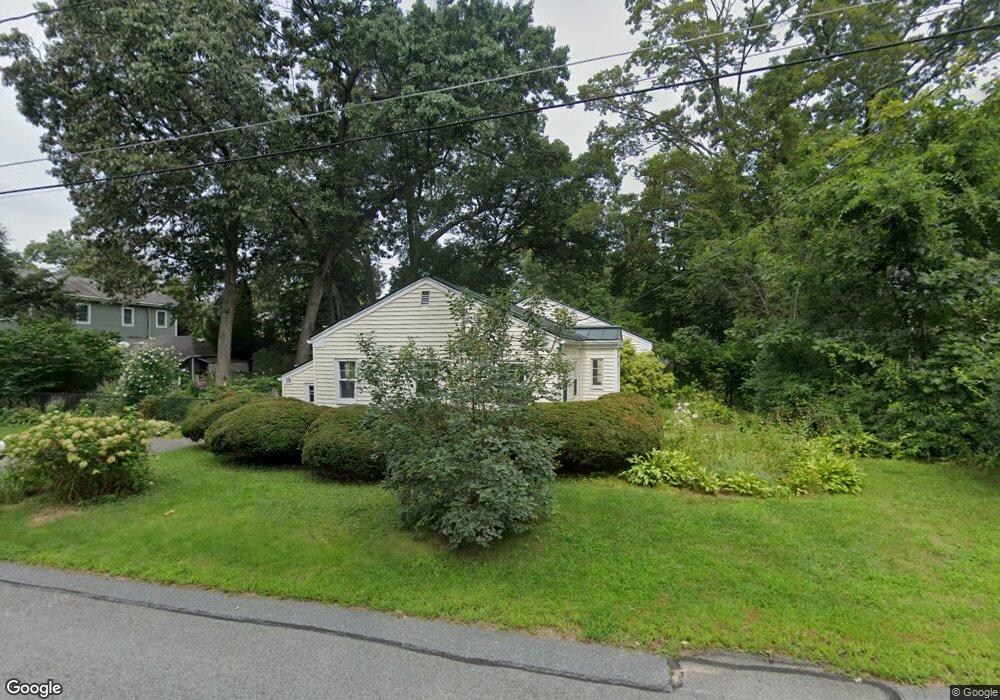
19 Parkridge Rd Wayland, MA 01778
Estimated Value: $649,568 - $755,000
3
Beds
1
Bath
976
Sq Ft
$703/Sq Ft
Est. Value
About This Home
This home is located at 19 Parkridge Rd, Wayland, MA 01778 and is currently estimated at $686,142, approximately $703 per square foot. 19 Parkridge Rd is a home located in Middlesex County with nearby schools including Wayland High School and Veritas Christian Academy.
Ownership History
Date
Name
Owned For
Owner Type
Purchase Details
Closed on
Mar 8, 2004
Sold by
Sperry David M and Werner Sandra L
Bought by
Parker Anne E
Current Estimated Value
Home Financials for this Owner
Home Financials are based on the most recent Mortgage that was taken out on this home.
Original Mortgage
$260,000
Interest Rate
5.62%
Mortgage Type
Purchase Money Mortgage
Purchase Details
Closed on
May 1, 1987
Sold by
Chase Franklin L
Bought by
Sperry David M
Create a Home Valuation Report for This Property
The Home Valuation Report is an in-depth analysis detailing your home's value as well as a comparison with similar homes in the area
Home Values in the Area
Average Home Value in this Area
Purchase History
| Date | Buyer | Sale Price | Title Company |
|---|---|---|---|
| Parker Anne E | $325,000 | -- | |
| Parker Anne E | $325,000 | -- | |
| Sperry David M | $139,500 | -- |
Source: Public Records
Mortgage History
| Date | Status | Borrower | Loan Amount |
|---|---|---|---|
| Open | Sperry David M | $240,000 | |
| Closed | Parker Anne E | $260,000 | |
| Previous Owner | Sperry David M | $50,000 |
Source: Public Records
Tax History Compared to Growth
Tax History
| Year | Tax Paid | Tax Assessment Tax Assessment Total Assessment is a certain percentage of the fair market value that is determined by local assessors to be the total taxable value of land and additions on the property. | Land | Improvement |
|---|---|---|---|---|
| 2025 | $7,893 | $505,000 | $381,200 | $123,800 |
| 2024 | $7,467 | $481,100 | $363,000 | $118,100 |
| 2023 | $7,259 | $436,000 | $330,100 | $105,900 |
| 2022 | $6,584 | $358,800 | $273,300 | $85,500 |
| 2021 | $3,660 | $333,300 | $248,500 | $84,800 |
| 2020 | $5,919 | $333,300 | $248,500 | $84,800 |
| 2019 | $3,726 | $318,900 | $236,600 | $82,300 |
| 2018 | $5,530 | $306,700 | $236,600 | $70,100 |
| 2017 | $5,429 | $299,300 | $225,400 | $73,900 |
| 2016 | $5,114 | $294,900 | $221,000 | $73,900 |
| 2015 | $5,423 | $294,900 | $221,000 | $73,900 |
Source: Public Records
Map
Nearby Homes
- 15 Parkridge Rd
- 8 Parkridge Rd
- 233 Lakeshore Dr
- 5 Forest Ln
- 454 Old Connecticut Path
- 28 Knollwood Ln
- 123 Dudley Rd
- 96 Lake Shore Dr
- 96 Lakeshore Dr
- 17 Laclede Ave
- 32 Pemberton Rd
- 186 Main St Unit 2
- 186 Main St Unit 1
- 186 Main St
- 37 Pemberton Rd
- 177 Main St
- 15 Crest Rd
- 85 Meadow St
- 689 Old Connecticut Path
- 3 Keith Rd
- 68 Edgewood Rd
- 58 Edgewood Rd
- 62 Edgewood Rd
- 26 Parkridge Rd
- 20 Parkridge Rd
- 50 Edgewood Rd
- 50 Edgewood Rd Unit 50
- 50 Edgewood Rd
- 52 Edgewood Rd
- 67 Edgewood Rd
- 12 Parkridge Rd
- 48 Edgewood Rd
- 65 Edgewood Rd
- 9 Parkridge Rd
- 76 Edgewood Rd
- 57 Edgewood Rd
- 57 Edgewood Rd
- 57 Edgewood Rd Unit 1
- 51 Edgewood Rd
- 61 Edgewood Rd