Estimated Value: $601,000 - $685,000
About This Home
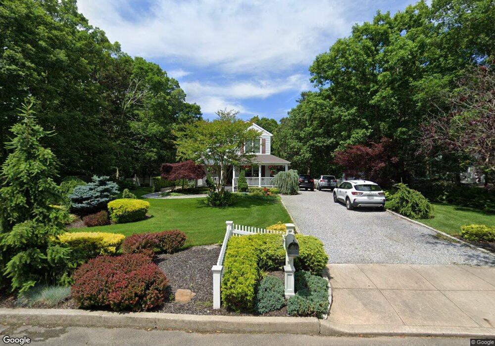
This home is located at 19 Patrick Ln, Ridge, NY 11961 and is currently estimated at $638,537, approximately $438 per square foot. 19 Patrick Ln is a home located in Suffolk County with nearby schools including Longwood Junior High School, Longwood Middle School, and Longwood Senior High School.
Ownership History
We collect this data history from publicly available records. To have your information removed, we recommend requesting removal directly through your county’s website.
Purchase Details
Home Financials for this Owner
Home Financials are based on the most recent Mortgage that was taken out on this home.Purchase Details
Home Values in the Area
Average Home Value in this Area
Purchase History
We collect this data history from publicly available records. To have your information removed, we recommend requesting removal directly through your county’s website.
| Date | Buyer | Sale Price | Title Company |
|---|---|---|---|
| -- | Chicago Title Insurance Co | ||
| $117,000 | Titleserv |
Mortgage History
We collect this data history from publicly available records. To have your information removed, we recommend requesting removal directly through your county’s website.
| Date | Status | Borrower | Loan Amount |
|---|---|---|---|
| Open | $135,000 |
Tax History
We collect this data history from publicly available records. To have your information removed, we recommend requesting removal directly through your county’s website.
| Year | Tax Paid | Tax Assessment Tax Assessment Total Assessment is a certain percentage of the fair market value that is determined by local assessors to be the total taxable value of land and additions on the property. | Land | Improvement |
|---|---|---|---|---|
| 2024 | $11,282 | $2,780 | $300 | $2,480 |
| 2023 | $11,282 | $2,780 | $300 | $2,480 |
| 2022 | $10,232 | $2,780 | $300 | $2,480 |
| 2021 | $10,232 | $2,780 | $300 | $2,480 |
| 2020 | $10,464 | $2,780 | $300 | $2,480 |
| 2019 | $10,464 | $0 | $0 | $0 |
| 2018 | $9,790 | $2,780 | $300 | $2,480 |
| 2017 | $9,790 | $2,780 | $300 | $2,480 |
| 2016 | $9,685 | $2,780 | $300 | $2,480 |
| 2015 | -- | $2,780 | $300 | $2,480 |
| 2014 | -- | $2,780 | $300 | $2,480 |
Map
- 28 Francis Mooney Dr
- 33 Highview Ln
- 49 Highview Ln
- 9 Pleasant View Rd
- 10 Silver Ct
- 71 Ridge Haven Dr
- 7 Woodbrook Dr
- 257 Edinburgh Dr
- 10 Sally Ln
- 259 Edinburgh Dr
- 0 Elizabeth Way Unit KEY803253
- Lot 39 Fox Run Ct
- 37 Marc Dr
- 220 Belfast Ln
- 268 Edinburgh Dr
- 338 Edinburgh Dr
- 152B Laurance Ln
- 183 Kingston Dr
- 225 Kingston Dr
- 2 Bedford Ct
- 17 Patrick Ln
- 21 Patrick Ln
- 18 Patrick Ln
- 15 Patrick Ln
- 22 Patrick Ln
- 23 Patrick Ln
- 14 Patrick Ln
- 9 Patrick Ln
- 7 Patrick Ln
- 5 Patrick Ln
- 6 Patrick Ln
- 2 Patrick Ln
- 1 Patrick Ln
- 20 Hay Rd
- 2114 William Floyd Pkwy
- 2158 William Floyd Pkwy
- 1019 Middle Country Rd
- 0 William Floyd Pkwy Unit 3236365
- 0 William Floyd Pkwy Unit 3206630
- 2162 William Floyd Pkwy
Ask me questions while you tour the home.