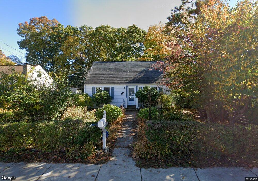
19 Pearl St Woburn, MA 01801
North Woburn NeighborhoodEstimated Value: $649,000 - $744,000
4
Beds
3
Baths
1,229
Sq Ft
$556/Sq Ft
Est. Value
About This Home
This home is located at 19 Pearl St, Woburn, MA 01801 and is currently estimated at $683,585, approximately $556 per square foot. 19 Pearl St is a home located in Middlesex County with nearby schools including Linscott-Rumford Elementary School, John F. Kennedy Middle School, and Woburn High School.
Ownership History
Date
Name
Owned For
Owner Type
Purchase Details
Closed on
Feb 28, 2017
Sold by
Fowkes Catherine F Est and Bebezan
Bought by
Bebezan Catherine V and Fowkes John P
Current Estimated Value
Purchase Details
Closed on
Mar 6, 1969
Bought by
Fowkes Catherine F
Create a Home Valuation Report for This Property
The Home Valuation Report is an in-depth analysis detailing your home's value as well as a comparison with similar homes in the area
Home Values in the Area
Average Home Value in this Area
Purchase History
| Date | Buyer | Sale Price | Title Company |
|---|---|---|---|
| Bebezan Catherine V | -- | -- | |
| Bebezan Catherine V | -- | -- | |
| Fowkes Catherine F | -- | -- |
Source: Public Records
Tax History Compared to Growth
Tax History
| Year | Tax Paid | Tax Assessment Tax Assessment Total Assessment is a certain percentage of the fair market value that is determined by local assessors to be the total taxable value of land and additions on the property. | Land | Improvement |
|---|---|---|---|---|
| 2025 | $4,747 | $555,900 | $311,900 | $244,000 |
| 2024 | $4,269 | $529,700 | $297,100 | $232,600 |
| 2023 | $4,194 | $482,100 | $270,100 | $212,000 |
| 2022 | $4,057 | $434,400 | $234,800 | $199,600 |
| 2021 | $3,833 | $410,800 | $223,600 | $187,200 |
| 2020 | $3,675 | $394,300 | $223,600 | $170,700 |
| 2019 | $3,581 | $376,900 | $213,000 | $163,900 |
| 2018 | $3,459 | $349,700 | $195,400 | $154,300 |
| 2017 | $3,247 | $326,700 | $186,100 | $140,600 |
| 2016 | $3,098 | $308,300 | $174,000 | $134,300 |
| 2015 | $2,977 | $292,700 | $162,600 | $130,100 |
| 2014 | $2,818 | $269,900 | $162,600 | $107,300 |
Source: Public Records
Map
Nearby Homes
- 1 Dickie Rd
- 21 Pearl St
- 4 Dickie Rd
- 23 Pearl St
- 15 Pearl St
- 6 Dickie Rd
- 25 Pearl St
- 1 Spring Garden Terrace
- 14 Westgate Dr Unit 206
- 14 Westgate Dr Unit 106
- 14 Westgate Dr Unit 6T
- 13 Pearl St
- 12 Westgate Dr Unit 207
- 12 Westgate Dr Unit 105
- 12 Westgate Dr Unit 106
- 12 Westgate Dr Unit 203
- 3 Spring Garden Terrace
- 8 Dickie Rd
- 16 Westgate Dr Unit 3T
- 16 Westgate Dr Unit 206