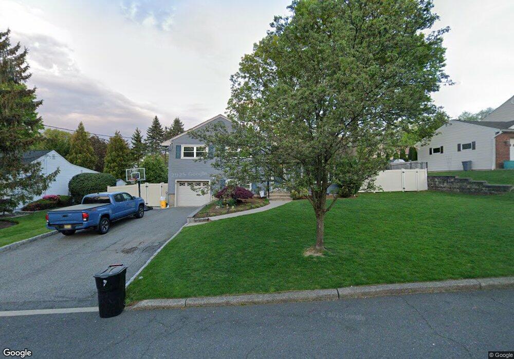
19 Pine Dr Cedar Grove, NJ 07009
Estimated Value: $756,000 - $848,000
Studio
--
Bath
2,300
Sq Ft
$347/Sq Ft
Est. Value
About This Home
This home is located at 19 Pine Dr, Cedar Grove, NJ 07009 and is currently estimated at $797,772, approximately $346 per square foot. 19 Pine Dr is a home located in Essex County with nearby schools including Cedar Grove High School, Monarch Montessori School, and Banyan Upper School.
Ownership History
Date
Name
Owned For
Owner Type
Purchase Details
Closed on
Sep 1, 2010
Sold by
Clement Charles and Clement Carla
Bought by
Mcfadzean Andrew H and Vicchiariello Kelly A
Current Estimated Value
Home Financials for this Owner
Home Financials are based on the most recent Mortgage that was taken out on this home.
Original Mortgage
$409,000
Outstanding Balance
$271,034
Interest Rate
4.51%
Mortgage Type
New Conventional
Estimated Equity
$526,738
Purchase Details
Closed on
Jul 20, 2007
Sold by
Clement Charles and Clement Carla
Bought by
Clement Charles and Clement Carla
Purchase Details
Closed on
Jun 17, 2005
Sold by
Obrien Edwin
Bought by
Rizkallah Charles and Rizkallah Carla
Home Financials for this Owner
Home Financials are based on the most recent Mortgage that was taken out on this home.
Original Mortgage
$368,000
Interest Rate
5.75%
Mortgage Type
Adjustable Rate Mortgage/ARM
Create a Home Valuation Report for This Property
The Home Valuation Report is an in-depth analysis detailing your home's value as well as a comparison with similar homes in the area
Home Values in the Area
Average Home Value in this Area
Purchase History
| Date | Buyer | Sale Price | Title Company |
|---|---|---|---|
| Mcfadzean Andrew H | $455,000 | First American Title Ins Co | |
| Clement Charles | -- | None Available | |
| Rizkallah Charles | $460,000 | -- |
Source: Public Records
Mortgage History
| Date | Status | Borrower | Loan Amount |
|---|---|---|---|
| Open | Mcfadzean Andrew H | $409,000 | |
| Previous Owner | Rizkallah Charles | $368,000 |
Source: Public Records
Tax History
| Year | Tax Paid | Tax Assessment Tax Assessment Total Assessment is a certain percentage of the fair market value that is determined by local assessors to be the total taxable value of land and additions on the property. | Land | Improvement |
|---|---|---|---|---|
| 2025 | $12,384 | $474,500 | $242,300 | $232,200 |
| 2024 | $12,384 | $474,500 | $242,300 | $232,200 |
| 2022 | $12,166 | $474,500 | $242,300 | $232,200 |
| 2021 | $12,019 | $474,500 | $242,300 | $232,200 |
| 2020 | $12,195 | $474,500 | $242,300 | $232,200 |
| 2019 | $9,866 | $392,900 | $242,300 | $150,600 |
| 2018 | $9,414 | $392,900 | $242,300 | $150,600 |
| 2017 | $9,312 | $392,900 | $242,300 | $150,600 |
| 2016 | $9,025 | $392,900 | $242,300 | $150,600 |
| 2015 | $8,817 | $392,900 | $242,300 | $150,600 |
| 2014 | $8,636 | $392,900 | $242,300 | $150,600 |
Source: Public Records
Map
Nearby Homes
- 13 Mountain Ridge Dr
- 659 Mountain Ave
- 10 Harvest Way
- 18 Fairview Dr
- 207 Eileen Dr
- 215 Eileen Dr
- 77 Stevens Ave
- 240 Main St Unit 305
- 204 E Lindsley Rd
- 300 Main St Unit 811
- 48 Harvest Way
- 353 Main St
- 379 Main St
- 3 Adelina Ct
- 0 Amity St
- 16 Grey Rock Ave
- 45 River Blvd
- 15 Lawrence Way
- 811 Holly Ln
- 13 Lawrence Way