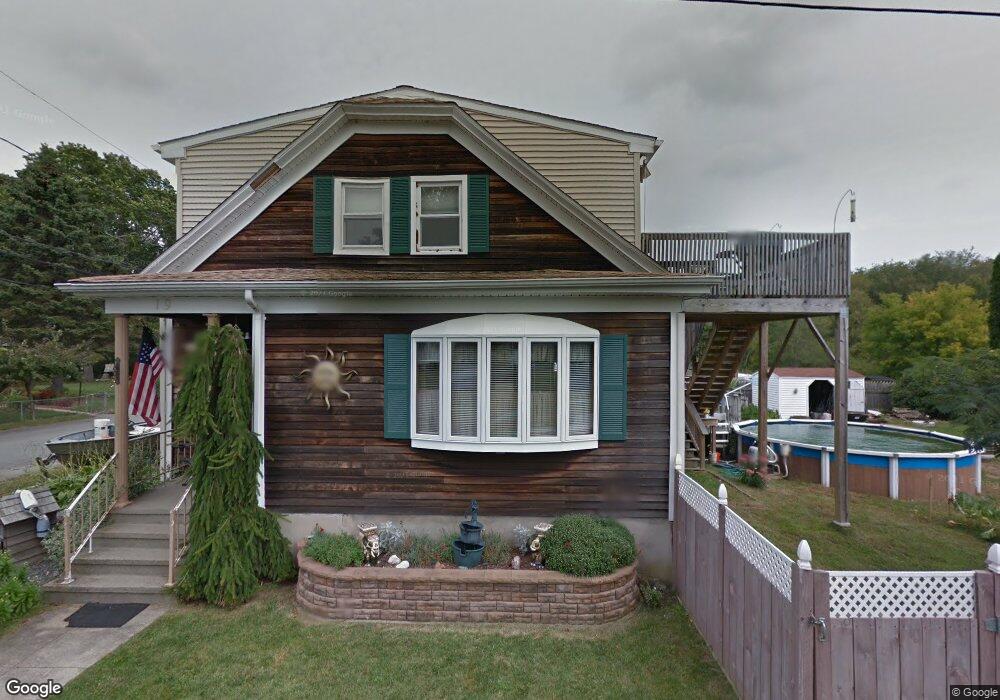
19 Pine Tree Ave Westport, MA 02790
North Westport NeighborhoodEstimated Value: $400,881 - $523,000
--
Bed
--
Bath
1,411
Sq Ft
$335/Sq Ft
Est. Value
About This Home
This home is located at 19 Pine Tree Ave, Westport, MA 02790 and is currently estimated at $472,294, approximately $334 per square foot. 19 Pine Tree Ave is a home located in Bristol County with nearby schools including Alice A. Macomber Primary School, Westport Elementary School, and Westport Middle-High School.
Ownership History
Date
Name
Owned For
Owner Type
Purchase Details
Closed on
Jun 6, 2024
Sold by
Farias Paulette V
Bought by
Farias Michael S and Farias Paulette V
Current Estimated Value
Purchase Details
Closed on
Jan 12, 1977
Bought by
Farias Joseph P and Farias Paulette
Create a Home Valuation Report for This Property
The Home Valuation Report is an in-depth analysis detailing your home's value as well as a comparison with similar homes in the area
Home Values in the Area
Average Home Value in this Area
Purchase History
| Date | Buyer | Sale Price | Title Company |
|---|---|---|---|
| Farias Michael S | -- | None Available | |
| Farias Michael S | -- | None Available | |
| Farias Joseph P | -- | -- |
Source: Public Records
Mortgage History
| Date | Status | Borrower | Loan Amount |
|---|---|---|---|
| Previous Owner | Farias Joseph P | $40,000 | |
| Previous Owner | Farias Joseph P | $20,000 | |
| Previous Owner | Farias Joseph P | $16,222 |
Source: Public Records
Tax History Compared to Growth
Tax History
| Year | Tax Paid | Tax Assessment Tax Assessment Total Assessment is a certain percentage of the fair market value that is determined by local assessors to be the total taxable value of land and additions on the property. | Land | Improvement |
|---|---|---|---|---|
| 2025 | $2,497 | $335,200 | $142,800 | $192,400 |
| 2024 | $2,490 | $322,100 | $132,300 | $189,800 |
| 2023 | $2,420 | $296,600 | $120,000 | $176,600 |
| 2022 | $2,291 | $270,200 | $114,000 | $156,200 |
| 2021 | $2,239 | $259,800 | $103,600 | $156,200 |
| 2020 | $1,698 | $201,400 | $94,200 | $107,200 |
| 2019 | $1,603 | $193,800 | $94,200 | $99,600 |
| 2018 | $1,305 | $159,700 | $81,100 | $78,600 |
| 2017 | $1,304 | $163,600 | $86,700 | $76,900 |
| 2016 | $1,258 | $159,100 | $82,200 | $76,900 |
| 2015 | $1,271 | $160,300 | $94,500 | $65,800 |
Source: Public Records
Map
Nearby Homes
- 0 Van Buren St
- 15 S Breault St
- 20 Faulkner St
- 116 Gifford Rd
- 16 S Berryman St
- 9 Kyle Jacob Rd
- 565 Highland Ave
- 1276 Old Fall River Rd
- 3 Diane Way
- 100 D Dr
- 27 Dias Ave
- 19 Charles Joseph Dr
- 96 Forge Rd
- 2 Donna Marie Dr
- 56 Lakeside Ave
- 29 Union Ave
- 55 Lakeside Ave
- 818 Reed Rd
- 735 Reed Rd
- 9 Register Ave
- 25 Pine Tree Ave
- 1 Middle Ave
- 16 Acushnet Ave
- 20 Pine Tree Ave
- 16 Pine Tree Ave
- 13 Pine Tree Ave
- 12 Acushnet Ave
- 12 Pine Tree Ave
- 15 Warren Ave
- 11 Acushnet Ave
- 4 Acushnet Ave
- 6 Pine Tree Ave
- 16 Lenox Ave
- 756 State Rd Unit 758
- 9 Warren Ave
- 5 Acushnet Ave
- 760 State Rd
- 762 State Rd
- 748 State Rd
- 10 Lenox Ave