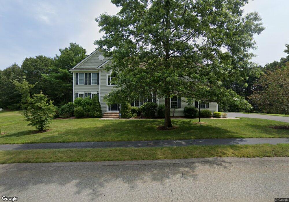
19 Pleasant Ln Boylston, MA 01505
Estimated Value: $1,116,966 - $1,251,000
4
Beds
5
Baths
3,558
Sq Ft
$335/Sq Ft
Est. Value
About This Home
This home is located at 19 Pleasant Ln, Boylston, MA 01505 and is currently estimated at $1,191,492, approximately $334 per square foot. 19 Pleasant Ln is a home located in Worcester County with nearby schools including Tahanto Regional High School.
Ownership History
Date
Name
Owned For
Owner Type
Purchase Details
Closed on
Oct 23, 2018
Sold by
Melville Mike and Melville Paula
Bought by
Melville Lt
Current Estimated Value
Purchase Details
Closed on
Feb 22, 2005
Sold by
Pulte Homes Of Ne Llc
Bought by
Melville Michael J and Dias-Desouza Paula Pessoa
Home Financials for this Owner
Home Financials are based on the most recent Mortgage that was taken out on this home.
Original Mortgage
$526,048
Interest Rate
5.78%
Mortgage Type
Purchase Money Mortgage
Create a Home Valuation Report for This Property
The Home Valuation Report is an in-depth analysis detailing your home's value as well as a comparison with similar homes in the area
Home Values in the Area
Average Home Value in this Area
Purchase History
| Date | Buyer | Sale Price | Title Company |
|---|---|---|---|
| Melville Lt | -- | -- | |
| Melville Michael J | $657,560 | -- |
Source: Public Records
Mortgage History
| Date | Status | Borrower | Loan Amount |
|---|---|---|---|
| Previous Owner | Melville Michael J | $526,048 |
Source: Public Records
Tax History Compared to Growth
Tax History
| Year | Tax Paid | Tax Assessment Tax Assessment Total Assessment is a certain percentage of the fair market value that is determined by local assessors to be the total taxable value of land and additions on the property. | Land | Improvement |
|---|---|---|---|---|
| 2025 | $13,888 | $1,004,200 | $222,800 | $781,400 |
| 2024 | $12,290 | $889,900 | $222,800 | $667,100 |
| 2023 | $10,964 | $761,400 | $195,000 | $566,400 |
| 2022 | $10,279 | $648,900 | $195,000 | $453,900 |
| 2021 | $10,976 | $646,400 | $195,000 | $451,400 |
| 2020 | $10,318 | $623,800 | $194,600 | $429,200 |
| 2019 | $9,929 | $619,000 | $193,000 | $426,000 |
| 2018 | $10,020 | $598,900 | $193,000 | $405,900 |
| 2017 | $9,654 | $598,900 | $193,000 | $405,900 |
| 2016 | $9,847 | $601,500 | $172,800 | $428,700 |
| 2015 | $10,472 | $601,500 | $172,800 | $428,700 |
| 2014 | $9,380 | $539,400 | $159,500 | $379,900 |
Source: Public Records
Map
Nearby Homes
- 342 Green St
- 18 Bay Path Dr
- 285 Green St
- 2 Harmony Ln Unit 1
- 7 Oakwood Cir Unit 15
- 1 Harmony Ln Unit 4
- 8 Burkhardt Cir Unit 8
- 4 Harmony Ln Unit 2
- 35 Woodstone Rd
- 33 Woodstone Rd
- 48 Perry Rd
- 7-11 Reservoir St
- 210 Green St
- 200 Green St
- 106 Reservoir St
- 70 Colonial Dr
- 122 Green St
- 21 School St
- 5 Sewall St Unit 259
- 3 Colonial Way