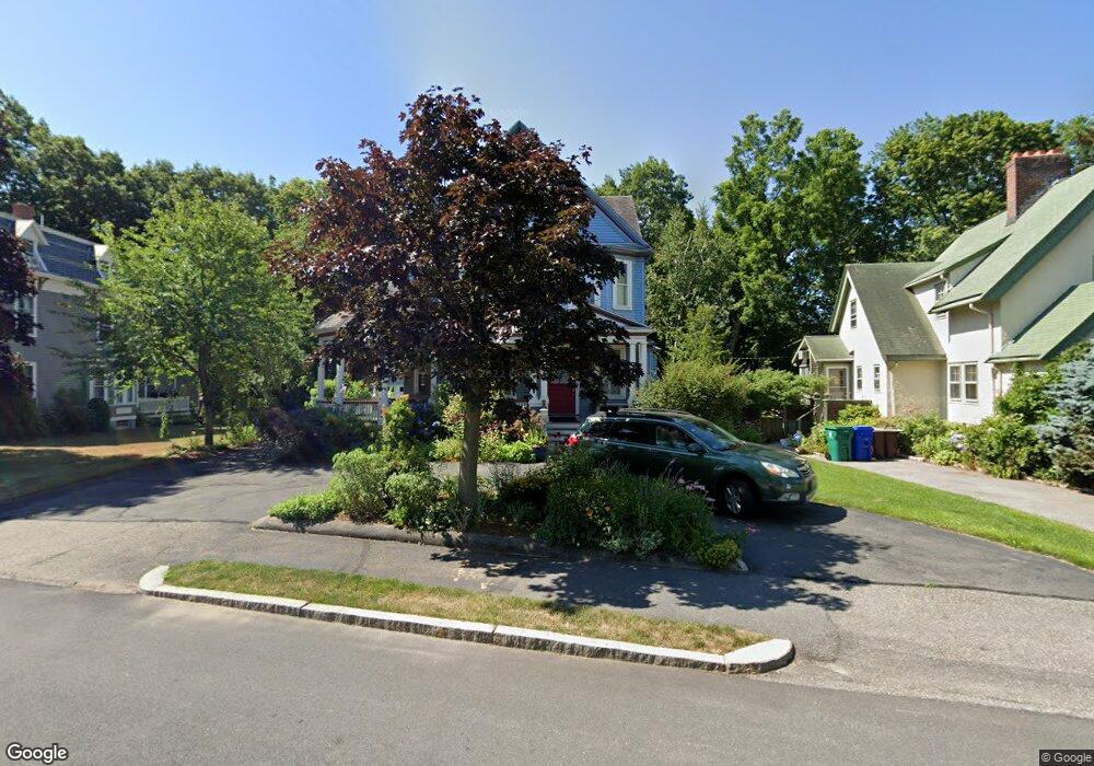
19 Prescott St Newtonville, MA 02460
Newtonville NeighborhoodEstimated Value: $1,985,000 - $2,097,000
6
Beds
5
Baths
4,000
Sq Ft
$514/Sq Ft
Est. Value
About This Home
This home is located at 19 Prescott St, Newtonville, MA 02460 and is currently estimated at $2,054,629, approximately $513 per square foot. 19 Prescott St is a home located in Middlesex County with nearby schools including Horace Mann Elementary School, F.A. Day Middle School, and Newton North High School.
Ownership History
Date
Name
Owned For
Owner Type
Purchase Details
Closed on
Mar 25, 2005
Sold by
Caruso Anne E and Caruso George E
Bought by
Froehlich Helena and Froehlich Juergen K
Current Estimated Value
Home Financials for this Owner
Home Financials are based on the most recent Mortgage that was taken out on this home.
Original Mortgage
$800,000
Outstanding Balance
$404,234
Interest Rate
5.56%
Mortgage Type
Purchase Money Mortgage
Estimated Equity
$1,650,395
Create a Home Valuation Report for This Property
The Home Valuation Report is an in-depth analysis detailing your home's value as well as a comparison with similar homes in the area
Home Values in the Area
Average Home Value in this Area
Purchase History
| Date | Buyer | Sale Price | Title Company |
|---|---|---|---|
| Froehlich Helena | $1,040,000 | -- |
Source: Public Records
Mortgage History
| Date | Status | Borrower | Loan Amount |
|---|---|---|---|
| Open | Froehlich Helena | $800,000 |
Source: Public Records
Tax History Compared to Growth
Tax History
| Year | Tax Paid | Tax Assessment Tax Assessment Total Assessment is a certain percentage of the fair market value that is determined by local assessors to be the total taxable value of land and additions on the property. | Land | Improvement |
|---|---|---|---|---|
| 2025 | $17,164 | $1,751,400 | $914,200 | $837,200 |
| 2024 | $16,596 | $1,700,400 | $887,600 | $812,800 |
| 2023 | $16,010 | $1,572,700 | $684,200 | $888,500 |
| 2022 | $15,145 | $1,439,600 | $633,500 | $806,100 |
| 2021 | $14,613 | $1,358,100 | $597,600 | $760,500 |
| 2020 | $6,005 | $1,358,100 | $597,600 | $760,500 |
| 2019 | $13,778 | $1,318,500 | $580,200 | $738,300 |
| 2018 | $13,450 | $1,243,100 | $523,000 | $720,100 |
| 2017 | $13,040 | $1,172,700 | $493,400 | $679,300 |
| 2016 | $12,472 | $1,096,000 | $461,100 | $634,900 |
| 2015 | $11,892 | $1,024,300 | $430,900 | $593,400 |
Source: Public Records
Map
Nearby Homes
- 32-34 Rossmere St
- 42-44 Judkins St
- 77 Court St Unit 205
- 57 Walnut St
- 354 Linwood Ave Unit 1
- 15 Edinboro Terrace
- 61 Broadway St
- 911 Washington St
- 43 Walker St
- 280 Nevada St Unit 280/282
- 280 Nevada St
- 935 Washington St (Rear Facing) Unit 11
- 22-24 Emerald St
- 935 Washington St Unit 8
- 51 Clinton St
- 3 Ashmont Ave
- 33-35 Clinton St
- 321 Albemarle Rd
- 11 Murphy Ct
- 581 California St
- 15 Prescott St
- 25 Prescott St
- 38 Lowell Ave
- 38 Lowell Ave Unit 2
- 38 Lowell Ave Unit 1
- 38 Lowell Ave Unit B
- 33 Central Ave
- 22 Prescott St
- 16 Prescott St
- 39 Central Ave
- 46 Lowell Ave
- 26 Lowell Ave
- 41 Central Ave Unit 43
- 41 Central Ave Unit 41
- 41 Central Ave Unit 2
- 36 Lowell Ave
- 36 Lowell Ave Unit 2
- 36 Lowell Ave Unit B
- 36 Lowell Ave Unit 1
- 43 Central Ave