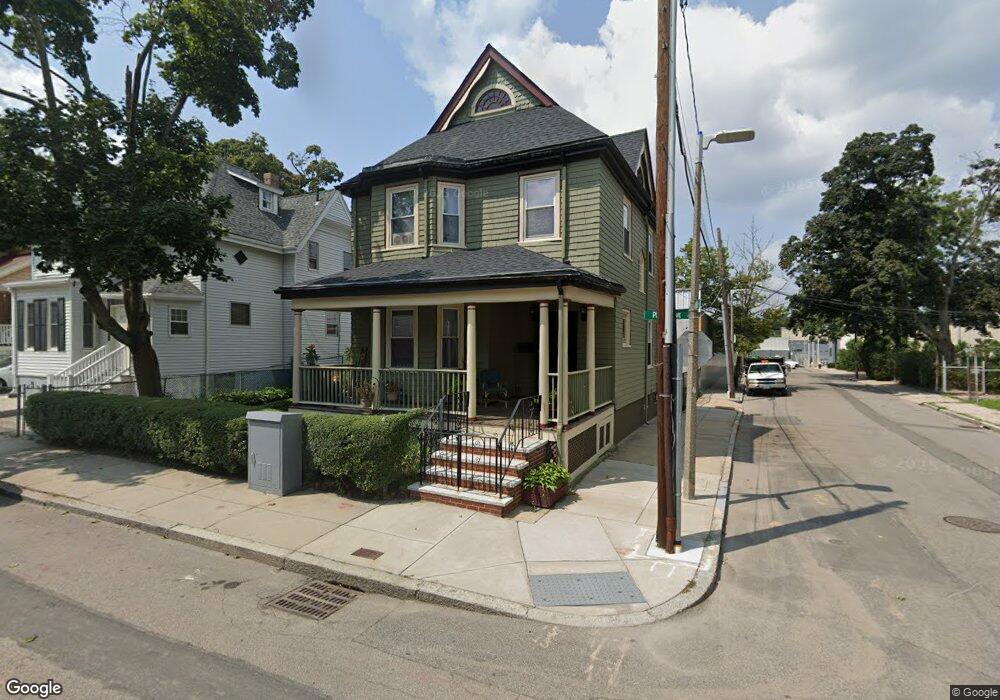
19 Puritan Ave Dorchester, MA 02121
Bowdoin North-Mount Bowdoin NeighborhoodEstimated Value: $556,000 - $727,257
4
Beds
2
Baths
1,863
Sq Ft
$337/Sq Ft
Est. Value
About This Home
This home is located at 19 Puritan Ave, Dorchester, MA 02121 and is currently estimated at $628,564, approximately $337 per square foot. 19 Puritan Ave is a home located in Suffolk County with nearby schools including UP Academy Charter School of Dorchester, Uncommon Schools Roxbury Prep Dorchester Campus, and Mother Caroline Academy & Education Center.
Ownership History
Date
Name
Owned For
Owner Type
Purchase Details
Closed on
Nov 30, 1999
Sold by
Downing-Martin Tasha S and Martin Jesse
Bought by
Brodie Karen
Current Estimated Value
Purchase Details
Closed on
Sep 2, 1997
Sold by
Henderson Grant R and Henderson Patricia A
Bought by
Martin Jesse and Downing-Martin Tasha
Create a Home Valuation Report for This Property
The Home Valuation Report is an in-depth analysis detailing your home's value as well as a comparison with similar homes in the area
Home Values in the Area
Average Home Value in this Area
Purchase History
| Date | Buyer | Sale Price | Title Company |
|---|---|---|---|
| Brodie Karen | $117,500 | -- | |
| Martin Jesse | $82,000 | -- |
Source: Public Records
Mortgage History
| Date | Status | Borrower | Loan Amount |
|---|---|---|---|
| Open | Martin Jesse | $100,000 | |
| Closed | Martin Jesse | $104,000 | |
| Closed | Martin Jesse | $105,000 |
Source: Public Records
Tax History Compared to Growth
Tax History
| Year | Tax Paid | Tax Assessment Tax Assessment Total Assessment is a certain percentage of the fair market value that is determined by local assessors to be the total taxable value of land and additions on the property. | Land | Improvement |
|---|---|---|---|---|
| 2025 | $6,514 | $562,500 | $184,100 | $378,400 |
| 2024 | $6,069 | $556,800 | $197,800 | $359,000 |
| 2023 | $5,694 | $530,200 | $188,400 | $341,800 |
| 2022 | $4,291 | $394,400 | $127,800 | $266,600 |
| 2021 | $4,863 | $455,800 | $141,800 | $314,000 |
| 2020 | $3,989 | $377,700 | $133,400 | $244,300 |
| 2019 | $3,754 | $356,200 | $109,900 | $246,300 |
| 2018 | $3,489 | $332,900 | $109,900 | $223,000 |
| 2017 | $3,295 | $311,100 | $109,900 | $201,200 |
| 2016 | $3,422 | $311,100 | $109,900 | $201,200 |
| 2015 | $3,021 | $249,500 | $83,700 | $165,800 |
| 2014 | $3,003 | $238,700 | $83,700 | $155,000 |
Source: Public Records
Map
Nearby Homes
- 1 Rock Terrace Unit 1
- 1 Rock Terrace Unit 3
- 51 Hamilton St Unit 3
- 1 Dever St
- 70 Hamilton St
- 76 Bellevue St
- 139 Bowdoin St
- 70-72 Clarkson St
- 60 Stanley St Unit 301
- 60 Stanley St Unit 302
- 60 Stanley St
- 60 Stanley St Unit 101
- 20 Rosseter St
- 154 Stanwood St
- 52 Bellevue St Unit 1
- 52 Bellevue St Unit 3
- 52 Bellevue St Unit 2
- 157 Stanwood St
- 252-254 Magnolia St
- 15 Ellington St
- 21 Puritan Ave
- 23 Puritan Ave
- 20 Puritan Ave
- 22 Puritan Ave
- 15 Puritan Ave Unit 17
- 9 Puritan Ave Unit 11
- 24 Puritan Ave
- 58 Wilrose St
- 12 Puritan Ave
- 10 Rock Terrace
- 10 Rock Terrace Unit 3
- 26 Puritan Ave
- 7 Puritan Ave
- 8 Rock Terrace
- 8 Rock Terrace Unit 3
- 8 Rock Terrace Unit 3
- 28 Puritan Ave
- 8 Puritan Ave
- 5 Puritan Ave
- 29 Puritan Ave