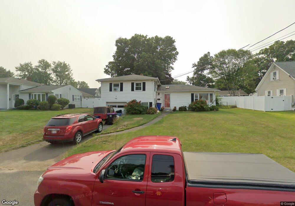
19 Quinn Dr Holyoke, MA 01040
Estimated Value: $318,000 - $328,000
3
Beds
2
Baths
1,378
Sq Ft
$234/Sq Ft
Est. Value
About This Home
This home is located at 19 Quinn Dr, Holyoke, MA 01040 and is currently estimated at $322,481, approximately $234 per square foot. 19 Quinn Dr is a home located in Hampden County with nearby schools including Lt. Elmer J. McMahon Elementary School, Holyoke High School, and Blessed Sacrament School.
Ownership History
Date
Name
Owned For
Owner Type
Purchase Details
Closed on
Sep 2, 2021
Sold by
Goulding Victor W and Goulding Nancy A
Bought by
Goulding Scot E
Current Estimated Value
Purchase Details
Closed on
Oct 20, 2006
Sold by
Burns Winifred M
Bought by
Goulding Nancy A and Goulding Scot E
Home Financials for this Owner
Home Financials are based on the most recent Mortgage that was taken out on this home.
Original Mortgage
$148,000
Interest Rate
6.49%
Mortgage Type
Purchase Money Mortgage
Create a Home Valuation Report for This Property
The Home Valuation Report is an in-depth analysis detailing your home's value as well as a comparison with similar homes in the area
Home Values in the Area
Average Home Value in this Area
Purchase History
| Date | Buyer | Sale Price | Title Company |
|---|---|---|---|
| Goulding Scot E | -- | None Available | |
| Goulding Nancy A | $185,000 | -- |
Source: Public Records
Mortgage History
| Date | Status | Borrower | Loan Amount |
|---|---|---|---|
| Previous Owner | Goulding Nancy A | $148,000 |
Source: Public Records
Tax History Compared to Growth
Tax History
| Year | Tax Paid | Tax Assessment Tax Assessment Total Assessment is a certain percentage of the fair market value that is determined by local assessors to be the total taxable value of land and additions on the property. | Land | Improvement |
|---|---|---|---|---|
| 2025 | $4,836 | $277,000 | $70,900 | $206,100 |
| 2024 | $4,474 | $236,100 | $67,600 | $168,500 |
| 2023 | $4,290 | $228,700 | $67,600 | $161,100 |
| 2022 | $4,108 | $213,300 | $67,600 | $145,700 |
| 2021 | $3,940 | $202,900 | $65,000 | $137,900 |
| 2020 | $3,723 | $195,100 | $65,000 | $130,100 |
| 2019 | $3,609 | $187,100 | $65,000 | $122,100 |
| 2018 | $3,482 | $180,800 | $65,000 | $115,800 |
| 2017 | $3,466 | $180,800 | $65,000 | $115,800 |
| 2016 | $3,403 | $178,000 | $66,800 | $111,200 |
| 2015 | $3,389 | $178,000 | $66,800 | $111,200 |
Source: Public Records
Map
Nearby Homes
- 794 Homestead Ave
- 695 Homestead Ave
- Lot A Homestead Ave
- lot b Homestead Ave
- 53 Farnum Dr Unit 53
- 12 Gordon Dr
- 7 Vermont St
- 286 Westfield Rd
- 85 Woodland St
- 84 Woodland St
- 244 Ontario Ave
- 958 Main St
- 89-111 Whitney Ave
- 128 Ontario Ave
- 25 W Glen St
- 934 Main St
- 78 Hitchcock St
- 70-72 Westfield Rd
- 56 Laurel St
- 9 Prew Ave Unit 4A