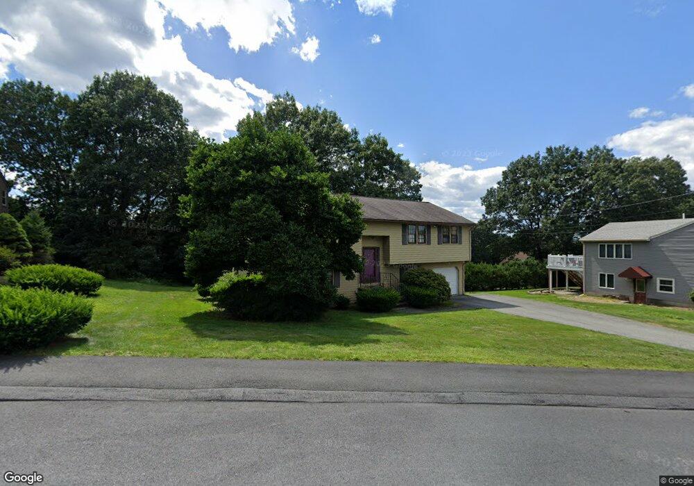
19 Rag Rock Dr Unit 1 Woburn, MA 01801
Cummingsville NeighborhoodEstimated Value: $757,000 - $822,000
3
Beds
2
Baths
1,184
Sq Ft
$672/Sq Ft
Est. Value
About This Home
This home is located at 19 Rag Rock Dr Unit 1, Woburn, MA 01801 and is currently estimated at $795,986, approximately $672 per square foot. 19 Rag Rock Dr Unit 1 is a home located in Middlesex County with nearby schools including Hurld Elementary School, Daniel L. Joyce Middle School, and Woburn High School.
Ownership History
Date
Name
Owned For
Owner Type
Purchase Details
Closed on
Nov 30, 2010
Sold by
Desai Sandeep B and Desai Mithila R
Bought by
Destefano Steven
Current Estimated Value
Home Financials for this Owner
Home Financials are based on the most recent Mortgage that was taken out on this home.
Original Mortgage
$341,127
Interest Rate
4.37%
Mortgage Type
FHA
Purchase Details
Closed on
May 17, 2002
Sold by
Giangregorio John and Giangregorio Ellen O
Bought by
Desai Sandeep B and Dikshit Mithila R
Purchase Details
Closed on
Aug 31, 1994
Sold by
Miles Richard W and Miles Joanne M
Bought by
Giangregorio John and Giangregorio Ellen O
Create a Home Valuation Report for This Property
The Home Valuation Report is an in-depth analysis detailing your home's value as well as a comparison with similar homes in the area
Home Values in the Area
Average Home Value in this Area
Purchase History
| Date | Buyer | Sale Price | Title Company |
|---|---|---|---|
| Destefano Steven | $350,000 | -- | |
| Destefano Steven | $350,000 | -- | |
| Desai Sandeep B | $375,000 | -- | |
| Desai Sandeep B | $375,000 | -- | |
| Giangregorio John | $188,000 | -- |
Source: Public Records
Mortgage History
| Date | Status | Borrower | Loan Amount |
|---|---|---|---|
| Open | Giangregorio John | $308,000 | |
| Closed | Destefano Steven | $341,127 | |
| Previous Owner | Giangregorio John | $200,000 |
Source: Public Records
Tax History Compared to Growth
Tax History
| Year | Tax Paid | Tax Assessment Tax Assessment Total Assessment is a certain percentage of the fair market value that is determined by local assessors to be the total taxable value of land and additions on the property. | Land | Improvement |
|---|---|---|---|---|
| 2025 | $5,688 | $666,000 | $336,300 | $329,700 |
| 2024 | $5,239 | $650,000 | $320,300 | $329,700 |
| 2023 | $5,073 | $583,100 | $291,300 | $291,800 |
| 2022 | $4,881 | $522,600 | $253,500 | $269,100 |
| 2021 | $4,665 | $500,000 | $241,500 | $258,500 |
| 2020 | $4,591 | $492,600 | $241,500 | $251,100 |
| 2019 | $4,333 | $456,100 | $230,100 | $226,000 |
| 2018 | $4,132 | $417,800 | $211,200 | $206,600 |
| 2017 | $3,976 | $400,000 | $201,300 | $198,700 |
| 2016 | $3,794 | $377,500 | $188,200 | $189,300 |
| 2015 | $3,743 | $368,000 | $176,000 | $192,000 |
| 2014 | $3,584 | $343,300 | $176,000 | $167,300 |
Source: Public Records
Map
Nearby Homes
- 17 Wright St
- 12 Cassidy Dr
- 26 Flagg St
- 7 Locust St
- 18 Beacon St Unit 18
- 37 1/2 Chestnut St
- 52 Pleasant St
- 21 Franklin St
- 31 Arlington Rd Unit 1-6
- 11 Hovey St
- 27 Arlington Rd Unit 1-6
- 29 Arlington Rd Unit 4
- 462 Place Ln
- 166 Place Ln Unit 166
- 168 Place Ln
- 18 Hamilton Rd
- 477 Main St
- 602 Main St Unit 1
- 14 Church Ave
- 14 Church Ave Unit 2
- 19 Rag Rock Dr
- 21 Rag Rock Dr
- 17 Rag Rock Dr
- 1 Barbas Way
- 40 Houghton St
- 18 Rag Rock Dr
- 15 Rag Rock Dr
- 7 Oak Knoll Dr
- 4 Oak Knoll Dr
- 42 Houghton St
- 36 Houghton St
- 11 Rag Rock Dr
- 14 Rag Rock Dr
- 44 Houghton St
- 32 Houghton St
- 12 Rag Rock Dr
- 2 Oak Knoll Dr
- 30 Houghton St
- 30 Houghton St Unit 2
- 28 Houghton St Unit 1