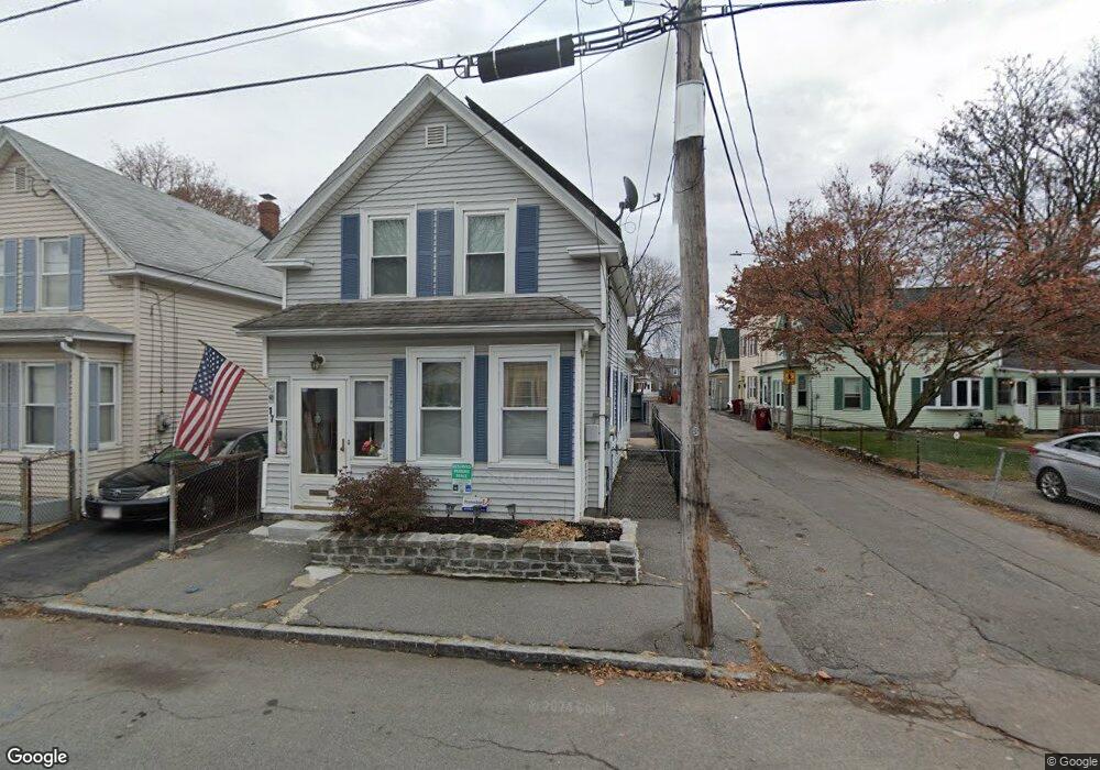
19 Riverside Ave Lowell, MA 01850
Centralville NeighborhoodEstimated Value: $344,237 - $359,000
3
Beds
1
Bath
932
Sq Ft
$378/Sq Ft
Est. Value
About This Home
This home is located at 19 Riverside Ave, Lowell, MA 01850 and is currently estimated at $352,746, approximately $378 per square foot. 19 Riverside Ave is a home located in Middlesex County with nearby schools including Greenhalge Elementary School, S. Christa McAuliffe Elementary School, and Moody Elementary School.
Ownership History
Date
Name
Owned For
Owner Type
Purchase Details
Closed on
Dec 27, 2016
Sold by
Parenteau Eric V
Bought by
Lannan Phetourdorn P
Current Estimated Value
Purchase Details
Closed on
Jan 15, 2010
Sold by
Rucks Carolyn
Bought by
Parenteau Eric V
Home Financials for this Owner
Home Financials are based on the most recent Mortgage that was taken out on this home.
Original Mortgage
$66,500
Interest Rate
4.71%
Mortgage Type
Purchase Money Mortgage
Purchase Details
Closed on
Feb 22, 2007
Sold by
Ange De Gardien Rt and White
Bought by
Rucks Carolyn
Home Financials for this Owner
Home Financials are based on the most recent Mortgage that was taken out on this home.
Original Mortgage
$164,800
Interest Rate
6.23%
Mortgage Type
Purchase Money Mortgage
Create a Home Valuation Report for This Property
The Home Valuation Report is an in-depth analysis detailing your home's value as well as a comparison with similar homes in the area
Home Values in the Area
Average Home Value in this Area
Purchase History
| Date | Buyer | Sale Price | Title Company |
|---|---|---|---|
| Lannan Phetourdorn P | -- | -- | |
| Lannan Phetourdorn P | -- | -- | |
| Parenteau Eric V | $95,000 | -- | |
| Parenteau Eric | $95,000 | -- | |
| Rucks Carolyn | $164,800 | -- | |
| Rucks Carolyn | $164,800 | -- |
Source: Public Records
Mortgage History
| Date | Status | Borrower | Loan Amount |
|---|---|---|---|
| Previous Owner | Parenteau Eric | $66,500 | |
| Previous Owner | Rucks Carolyn | $164,800 |
Source: Public Records
Tax History
| Year | Tax Paid | Tax Assessment Tax Assessment Total Assessment is a certain percentage of the fair market value that is determined by local assessors to be the total taxable value of land and additions on the property. | Land | Improvement |
|---|---|---|---|---|
| 2025 | $3,388 | $295,100 | $96,300 | $198,800 |
| 2024 | $3,184 | $267,300 | $80,000 | $187,300 |
| 2023 | $3,004 | $241,900 | $69,600 | $172,300 |
| 2022 | $2,544 | $200,500 | $55,300 | $145,200 |
| 2021 | $2,376 | $176,500 | $48,100 | $128,400 |
| 2020 | $2,271 | $170,000 | $48,100 | $121,900 |
| 2019 | $1,975 | $140,700 | $41,400 | $99,300 |
| 2018 | $1,931 | $134,200 | $39,400 | $94,800 |
| 2017 | $1,864 | $124,900 | $33,100 | $91,800 |
| 2016 | $1,798 | $118,600 | $34,600 | $84,000 |
| 2015 | $1,757 | $113,500 | $35,700 | $77,800 |
| 2013 | $1,701 | $113,300 | $43,000 | $70,300 |
Source: Public Records
Map
Nearby Homes
- 27 Bunker Hill Ave
- 174 River Rd
- 45 W 4th St
- 120 Lakeview Ave
- 202 Coburn St
- 52 Lawrence Dr Unit 305
- 52 Lawrence Dr Unit 206
- 130 John St Unit 350
- 130 John St Unit G01
- 130 John St Unit 242
- 130 John St Unit 250
- 35 Riverwalk Way Unit 103
- 27-29 Fifth St
- 25 Read St
- 106 Methuen St Unit B
- 18 May St
- 94 1st St Unit 10
- 105 3rd St
- 10 Kearney Square Unit 407
- 9 Central St Unit 601
- 17 Riverside Ave
- 21 West St
- 25 West St
- 17 West St
- 15 Riverside Ave
- 20 Riverside Ave
- 18 Riverside Ave
- 38 Stanley St
- 13 Riverside Ave
- 16 Riverside Ave
- 27 West St
- 24 Riverside Ave
- 3 Stanley Ave
- 11 West St
- 14 Riverside Ave
- 34 Stanley St
- 34 Stanley St Unit 2ND FL,34
- 36 Stanley St Unit 36
- 1 Stanley Ave
- 30 Stanley St
Your Personal Tour Guide
Ask me questions while you tour the home.