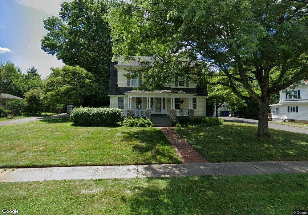
19 Robbins Dr Wethersfield, CT 06109
Estimated Value: $491,000 - $551,079
4
Beds
3
Baths
2,668
Sq Ft
$192/Sq Ft
Est. Value
About This Home
This home is located at 19 Robbins Dr, Wethersfield, CT 06109 and is currently estimated at $511,770, approximately $191 per square foot. 19 Robbins Dr is a home located in Hartford County with nearby schools including Charles Wright School, Silas Deane Middle School, and Wethersfield High School.
Ownership History
Date
Name
Owned For
Owner Type
Purchase Details
Closed on
Feb 13, 2025
Sold by
Scherer Edward P
Bought by
Carew Carly
Current Estimated Value
Home Financials for this Owner
Home Financials are based on the most recent Mortgage that was taken out on this home.
Original Mortgage
$380,000
Outstanding Balance
$377,751
Interest Rate
6.93%
Mortgage Type
Purchase Money Mortgage
Estimated Equity
$134,019
Create a Home Valuation Report for This Property
The Home Valuation Report is an in-depth analysis detailing your home's value as well as a comparison with similar homes in the area
Home Values in the Area
Average Home Value in this Area
Purchase History
| Date | Buyer | Sale Price | Title Company |
|---|---|---|---|
| Carew Carly | $475,000 | None Available | |
| Carew Carly | $475,000 | None Available |
Source: Public Records
Mortgage History
| Date | Status | Borrower | Loan Amount |
|---|---|---|---|
| Open | Carew Carly | $380,000 | |
| Closed | Carew Carly | $380,000 |
Source: Public Records
Tax History
| Year | Tax Paid | Tax Assessment Tax Assessment Total Assessment is a certain percentage of the fair market value that is determined by local assessors to be the total taxable value of land and additions on the property. | Land | Improvement |
|---|---|---|---|---|
| 2025 | $12,174 | $295,340 | $98,490 | $196,850 |
| 2024 | $8,872 | $205,270 | $65,750 | $139,520 |
| 2023 | $8,576 | $205,270 | $65,750 | $139,520 |
| 2022 | $8,432 | $205,270 | $65,750 | $139,520 |
| 2021 | $8,348 | $205,270 | $65,750 | $139,520 |
| 2020 | $8,352 | $205,270 | $65,750 | $139,520 |
| 2019 | $8,363 | $205,270 | $65,750 | $139,520 |
| 2018 | $8,119 | $199,100 | $67,100 | $132,000 |
| 2017 | $7,918 | $199,100 | $67,100 | $132,000 |
| 2016 | $7,673 | $199,100 | $67,100 | $132,000 |
| 2015 | $7,604 | $199,100 | $67,100 | $132,000 |
| 2014 | $7,315 | $199,100 | $67,100 | $132,000 |
Source: Public Records
Map
Nearby Homes
- 87 Somerset St
- 18 Avalon Place
- 91 Somerset St
- 219 Jordan Ln Unit 221
- 97 Brussels Ave
- 116 Wells Farm Dr
- 35 Stillwold Dr
- 19 Albert Ave
- 90 Goodwin Park Rd
- 108 Chamberlain Rd
- 70 Stillman Rd
- 704 Franklin Ave
- 119 Coleman Rd
- 493 Main St
- 137 Dale Rd
- 168 Hubbard Rd
- 28 Bolton St
- 72 Concord Cir
- 20 Forest Dr
- 38 Wheeler Rd
- 11 Robbins Dr
- 27 Robbins Dr
- 31 Robbins Dr
- 20 Fairview Dr
- 22 Fairview Dr
- 12 Fairview Dr
- 10 Robbins Dr
- 35 Robbins Dr
- 20 Robbins Dr
- 32 Fairview Dr
- 28 Robbins Dr
- 237 Wolcott Hill Rd
- 241 Wolcott Hill Rd
- 8 Fairview Dr
- 39 Robbins Dr
- 32 Robbins Dr
- 38 Fairview Dr
- 36 Robbins Dr
- 45 Robbins Dr
- 233 Wolcott Hill Rd
Your Personal Tour Guide
Ask me questions while you tour the home.