19 Ross Ave Thomaston, ME 04861
Estimated Value: $322,862 - $462,000
--
Bed
--
Bath
1,232
Sq Ft
$316/Sq Ft
Est. Value
About This Home
This home is located at 19 Ross Ave, Thomaston, ME 04861 and is currently estimated at $389,216, approximately $315 per square foot. 19 Ross Ave is a home located in Knox County with nearby schools including Thomaston Grammar School, Oceanside High School East, and Midcoast STEAM Microschool.
Ownership History
Date
Name
Owned For
Owner Type
Purchase Details
Closed on
Jan 5, 2012
Sold by
Meklin Margaret M and Meklin Margaret
Bought by
Meklin Kevin and Meklin Kevin P
Current Estimated Value
Home Financials for this Owner
Home Financials are based on the most recent Mortgage that was taken out on this home.
Original Mortgage
$80,000
Interest Rate
3.98%
Mortgage Type
Commercial
Create a Home Valuation Report for This Property
The Home Valuation Report is an in-depth analysis detailing your home's value as well as a comparison with similar homes in the area
Home Values in the Area
Average Home Value in this Area
Purchase History
| Date | Buyer | Sale Price | Title Company |
|---|---|---|---|
| Meklin Kevin | -- | -- |
Source: Public Records
Mortgage History
| Date | Status | Borrower | Loan Amount |
|---|---|---|---|
| Closed | Meklin Kevin | $80,000 |
Source: Public Records
Tax History Compared to Growth
Tax History
| Year | Tax Paid | Tax Assessment Tax Assessment Total Assessment is a certain percentage of the fair market value that is determined by local assessors to be the total taxable value of land and additions on the property. | Land | Improvement |
|---|---|---|---|---|
| 2024 | $4,426 | $221,300 | $27,000 | $194,300 |
| 2023 | $4,183 | $221,330 | $26,986 | $194,344 |
| 2022 | $2,978 | $136,492 | $26,986 | $109,506 |
| 2021 | $2,939 | $136,492 | $26,986 | $109,506 |
| 2020 | $3,007 | $136,492 | $26,986 | $109,506 |
| 2019 | $3,048 | $136,492 | $26,986 | $109,506 |
| 2018 | $2,857 | $136,492 | $26,986 | $109,506 |
| 2017 | $2,648 | $136,491 | $26,985 | $109,506 |
| 2016 | $2,953 | $158,080 | $48,574 | $109,506 |
| 2015 | $2,850 | $158,080 | $48,574 | $109,506 |
| 2014 | $2,630 | $158,080 | $48,574 | $109,506 |
| 2013 | $2,646 | $158,080 | $48,574 | $109,506 |
Source: Public Records
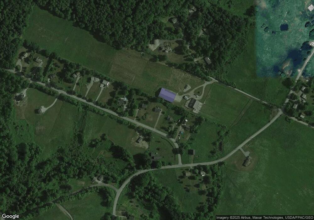
Map
Nearby Homes
- 0 Branch Brook Rd
- Lot 151 Dunbar Rd
- 318 W Meadow Rd
- Lot 4 Ashland Dr
- 212 New County Rd
- 332 Pleasant St
- 326 Limerock St
- Lot 1 Old County Rd
- 17 Sherer Ln
- 116 New County Rd
- 65 Oliver St
- 219 Talbot Ave
- 333 Old County Rd
- 233 Limerock St
- 104 Beechwood St
- 102 Beechwood St
- 240 Rankin St
- 76 Fish St
- 224 Limerock St
- 147 Talbot Ave