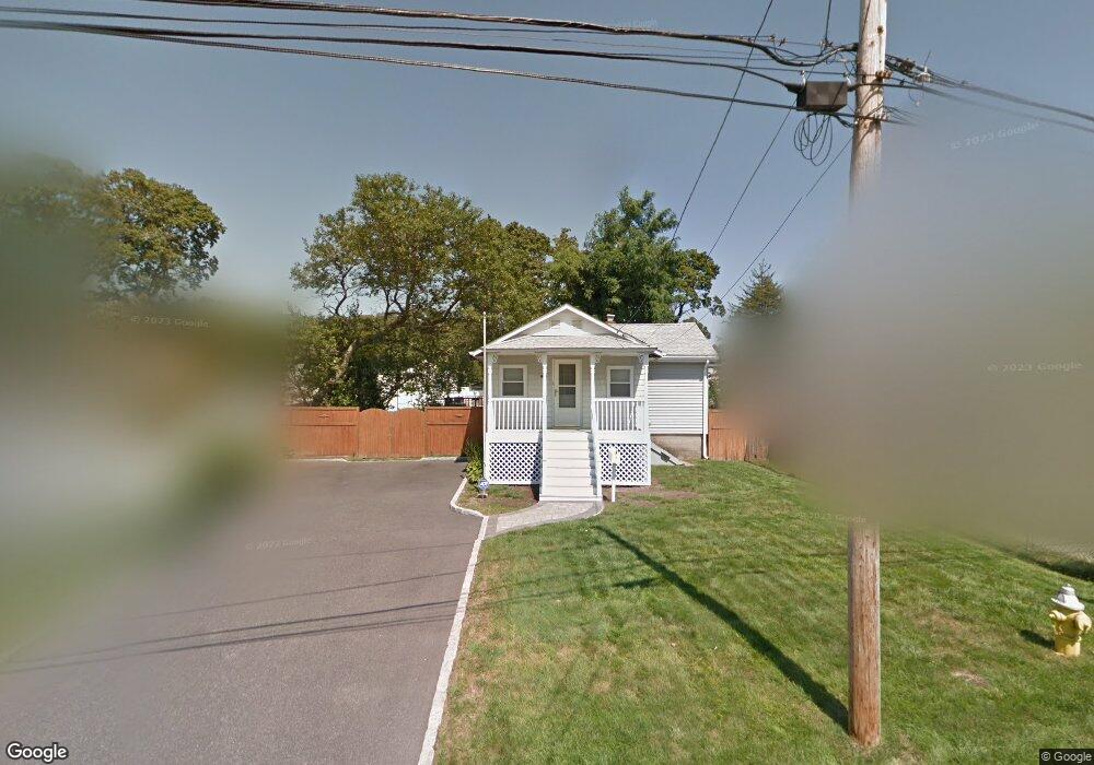
19 Rutland Rd West Babylon, NY 11704
Estimated Value: $540,443 - $784,000
2
Beds
2
Baths
1,263
Sq Ft
$513/Sq Ft
Est. Value
About This Home
This home is located at 19 Rutland Rd, West Babylon, NY 11704 and is currently estimated at $647,861, approximately $512 per square foot. 19 Rutland Rd is a home located in Suffolk County with nearby schools including Babylon Elementary School, Babylon Memorial Grade School, and Babylon High School.
Ownership History
Date
Name
Owned For
Owner Type
Purchase Details
Closed on
Oct 10, 2017
Sold by
Anderson Robert C
Bought by
Lynch Jessie
Current Estimated Value
Home Financials for this Owner
Home Financials are based on the most recent Mortgage that was taken out on this home.
Original Mortgage
$278,500
Outstanding Balance
$226,833
Interest Rate
3.78%
Mortgage Type
New Conventional
Estimated Equity
$421,028
Purchase Details
Closed on
Jul 12, 1999
Sold by
Ogorman Gerald and Ogorman Virginia
Bought by
Anderson Robert C
Home Financials for this Owner
Home Financials are based on the most recent Mortgage that was taken out on this home.
Original Mortgage
$126,100
Interest Rate
7.5%
Mortgage Type
FHA
Create a Home Valuation Report for This Property
The Home Valuation Report is an in-depth analysis detailing your home's value as well as a comparison with similar homes in the area
Home Values in the Area
Average Home Value in this Area
Purchase History
| Date | Buyer | Sale Price | Title Company |
|---|---|---|---|
| Lynch Jessie | $336,000 | -- | |
| Anderson Robert C | $127,180 | -- |
Source: Public Records
Mortgage History
| Date | Status | Borrower | Loan Amount |
|---|---|---|---|
| Open | Lynch Jessie | $278,500 | |
| Previous Owner | Anderson Robert C | $126,100 |
Source: Public Records
Tax History Compared to Growth
Tax History
| Year | Tax Paid | Tax Assessment Tax Assessment Total Assessment is a certain percentage of the fair market value that is determined by local assessors to be the total taxable value of land and additions on the property. | Land | Improvement |
|---|---|---|---|---|
| 2024 | $7,213 | $1,900 | $130 | $1,770 |
| 2023 | $7,213 | $1,900 | $130 | $1,770 |
| 2022 | $6,390 | $1,900 | $130 | $1,770 |
| 2021 | $6,390 | $1,900 | $130 | $1,770 |
| 2020 | $6,583 | $1,900 | $130 | $1,770 |
| 2019 | $6,583 | $0 | $0 | $0 |
| 2018 | $5,046 | $1,900 | $130 | $1,770 |
| 2017 | $5,046 | $1,900 | $130 | $1,770 |
| 2016 | $5,003 | $1,900 | $130 | $1,770 |
| 2015 | -- | $1,900 | $130 | $1,770 |
| 2014 | -- | $1,380 | $130 | $1,250 |
Source: Public Records
Map
Nearby Homes
- 154A Woodrow Pkwy
- 144 Woodrow Pkwy
- 204 Millard Ave Unit 204
- 162 Millard Ave Unit 162
- 26 Sawyer Ave
- 79 Woodrow Pkwy
- 6 Glenda Dr
- 49 Arnold Ave
- 45 Arnold Ave
- 6 Waltie Ct
- 219 Litchfield Ave
- 4 Lime Ct
- 248 Arnold Ave
- 5 Petersen Ct Unit 5
- 91 Beverly Rd
- 104 Frederick Ave
- 118 Terrace Ave
- 24 Calvert Ave
- 115 Old Farmingdale Rd
- 27 E Neck Ct
- 17 Rutland Rd
- 33 Rutland Rd
- 104 Midwood Rd
- 110 Midwood Rd
- 100 Midwood Rd
- 37 Rutland Rd Unit Rear
- 37 Rutland Rd
- 16 Rutland Rd
- 98 Midwood Rd
- 39 Vince Rd
- 112 Midwood Rd
- 13 Berkshire Rd
- 15 Berkshire Rd
- 94 Midwood Rd
- 0 Berkshire Rd
- 9 Berkshire Rd
- 41 Rutland Rd
- 17 Berkshire Rd
- 92 Midwood Rd
- 175 Woodrow Pkwy