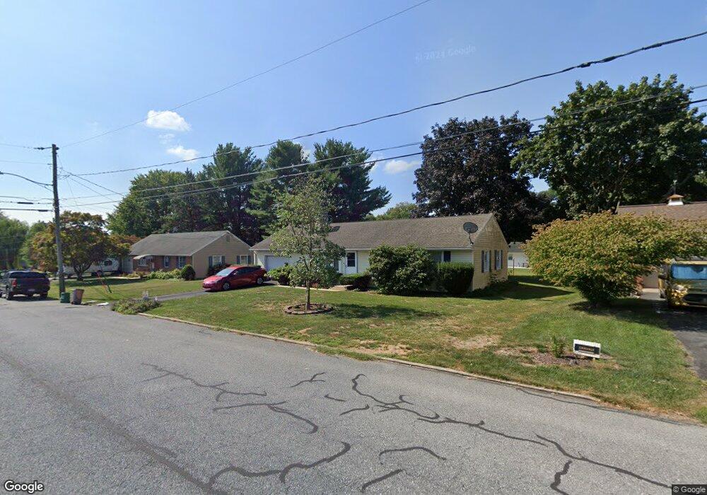
19 S Harter St Maytown, PA 17550
Estimated Value: $173,000 - $304,620
3
Beds
2
Baths
1,188
Sq Ft
$215/Sq Ft
Est. Value
About This Home
This home is located at 19 S Harter St, Maytown, PA 17550 and is currently estimated at $255,405, approximately $214 per square foot. 19 S Harter St is a home with nearby schools including Donegal Intermediate School, Donegal High School, and Susquehanna Waldorf School.
Ownership History
Date
Name
Owned For
Owner Type
Purchase Details
Closed on
Jun 11, 2021
Sold by
Suess Sharon A and Claytor Sharon A
Bought by
Claytor Sharon A and Claytor James T
Current Estimated Value
Home Financials for this Owner
Home Financials are based on the most recent Mortgage that was taken out on this home.
Original Mortgage
$80,000
Interest Rate
2.9%
Mortgage Type
New Conventional
Purchase Details
Closed on
Jun 1, 2007
Sold by
Suess Randall S and Suess Sharon A
Bought by
Suess Sharon A
Home Financials for this Owner
Home Financials are based on the most recent Mortgage that was taken out on this home.
Original Mortgage
$76,000
Interest Rate
6.19%
Mortgage Type
Purchase Money Mortgage
Create a Home Valuation Report for This Property
The Home Valuation Report is an in-depth analysis detailing your home's value as well as a comparison with similar homes in the area
Home Values in the Area
Average Home Value in this Area
Purchase History
| Date | Buyer | Sale Price | Title Company |
|---|---|---|---|
| Claytor Sharon A | -- | Sentex Settlement Svcs Inc | |
| Suess Sharon A | -- | None Available |
Source: Public Records
Mortgage History
| Date | Status | Borrower | Loan Amount |
|---|---|---|---|
| Closed | Claytor Sharon A | $80,000 | |
| Closed | Suess Sharon A | $76,000 |
Source: Public Records
Tax History Compared to Growth
Tax History
| Year | Tax Paid | Tax Assessment Tax Assessment Total Assessment is a certain percentage of the fair market value that is determined by local assessors to be the total taxable value of land and additions on the property. | Land | Improvement |
|---|---|---|---|---|
| 2025 | $3,493 | $137,500 | $45,300 | $92,200 |
| 2024 | $3,493 | $137,500 | $45,300 | $92,200 |
| 2023 | $3,479 | $137,500 | $45,300 | $92,200 |
| 2022 | $3,453 | $137,500 | $45,300 | $92,200 |
| 2021 | $3,389 | $137,500 | $45,300 | $92,200 |
| 2020 | $3,389 | $137,500 | $45,300 | $92,200 |
| 2019 | $3,327 | $137,500 | $45,300 | $92,200 |
| 2018 | $3,975 | $137,500 | $45,300 | $92,200 |
| 2017 | $3,678 | $122,000 | $41,800 | $80,200 |
| 2016 | $3,678 | $122,000 | $41,800 | $80,200 |
| 2015 | $938 | $122,000 | $41,800 | $80,200 |
| 2014 | $2,557 | $122,000 | $41,800 | $80,200 |
Source: Public Records
Map
Nearby Homes
- 49 Vista Dr
- 25 W High St
- 11 W High St
- 119 S River St
- 33 Vista Dr
- 18 S River St
- 12 Church St
- 150 N King St
- 16 Hemlock Dr
- 113 Appaloosa Dr
- 361 Wild Cherry Ln
- 341 Sload Cir
- 219 Coffee Goss Rd
- 223 Coffee Goss Rd
- 419 Coffee Goss Rd
- 289 Rock Point Rd
- 286 Rock Point Rd
- 118 Nicole St
- 204 N Biddle St
- 258 W Fairview Ave