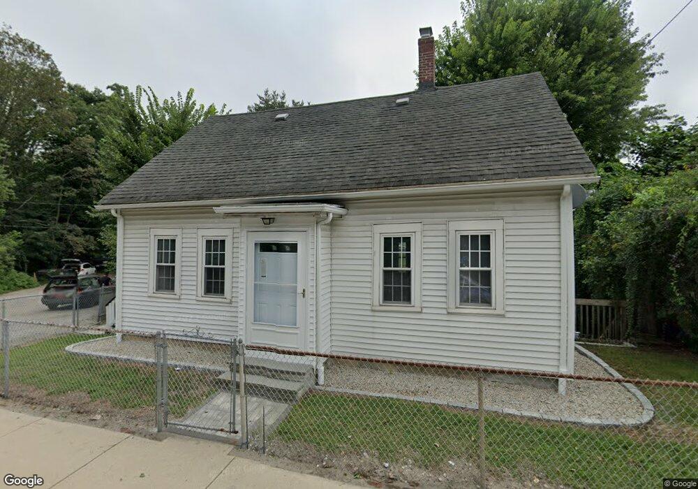
19 Saint Paul St Unit 19 Blackstone, MA 01504
Estimated Value: $259,000 - $323,000
3
Beds
2
Baths
1,280
Sq Ft
$230/Sq Ft
Est. Value
About This Home
This home is located at 19 Saint Paul St Unit 19, Blackstone, MA 01504 and is currently estimated at $293,760, approximately $229 per square foot. 19 Saint Paul St Unit 19 is a home located in Worcester County with nearby schools including Blackstone-Millville Regional High School, Rise Prep Mayoral Academy Middle School, and Founders Academy.
Ownership History
Date
Name
Owned For
Owner Type
Purchase Details
Closed on
Feb 10, 2017
Sold by
White Francis J and White Marie L
Bought by
Decastro Jason P
Current Estimated Value
Home Financials for this Owner
Home Financials are based on the most recent Mortgage that was taken out on this home.
Original Mortgage
$184,000
Outstanding Balance
$146,959
Interest Rate
3%
Mortgage Type
New Conventional
Estimated Equity
$146,801
Purchase Details
Closed on
Dec 22, 2003
Sold by
Kuzirian Jeanne and Barr Mary
Bought by
White Francis J and White Marie L
Home Financials for this Owner
Home Financials are based on the most recent Mortgage that was taken out on this home.
Original Mortgage
$266,000
Interest Rate
5.96%
Mortgage Type
Purchase Money Mortgage
Create a Home Valuation Report for This Property
The Home Valuation Report is an in-depth analysis detailing your home's value as well as a comparison with similar homes in the area
Home Values in the Area
Average Home Value in this Area
Purchase History
| Date | Buyer | Sale Price | Title Company |
|---|---|---|---|
| Decastro Jason P | $230,000 | -- | |
| White Francis J | $280,000 | -- |
Source: Public Records
Mortgage History
| Date | Status | Borrower | Loan Amount |
|---|---|---|---|
| Open | Decastro Jason P | $184,000 | |
| Previous Owner | White Francis J | $266,000 |
Source: Public Records
Tax History Compared to Growth
Tax History
| Year | Tax Paid | Tax Assessment Tax Assessment Total Assessment is a certain percentage of the fair market value that is determined by local assessors to be the total taxable value of land and additions on the property. | Land | Improvement |
|---|---|---|---|---|
| 2025 | $1,644 | $108,900 | $0 | $108,900 |
| 2024 | $1,904 | $116,600 | $0 | $116,600 |
| 2023 | $1,887 | $116,600 | $0 | $116,600 |
| 2022 | $1,908 | $106,600 | $0 | $106,600 |
| 2021 | $1,844 | $98,500 | $0 | $98,500 |
| 2020 | $7,594 | $80,000 | $0 | $80,000 |
| 2019 | $1,513 | $80,000 | $0 | $80,000 |
| 2018 | $1,549 | $79,500 | $0 | $79,500 |
| 2017 | $2,598 | $82,500 | $0 | $82,500 |
| 2016 | $1,468 | $75,900 | $0 | $75,900 |
| 2015 | $1,506 | $77,300 | $0 | $77,300 |
Source: Public Records
Map
Nearby Homes
- 96 Main St Unit 1
- 22 Colerick Ave
- 15 Blackstone St
- 3 Federal St
- 81 Fountain St
- 11 Federal St
- 29 Graves Ave
- 10 Huntington Ave
- 122 Canal St
- 6 Old Mendon St
- 8 Old Mendon St Unit 8
- 24 Reilly Ave
- 60 Fairlawn Ave
- 225-227 Main St
- 175 Saint Paul St
- 12 Keough St
- 8 Devlin Cir
- 44 Federal St
- 1 Tupperware Dr Unit 226
- 1 Tupperware Dr Unit 138
- 19 Saint Paul St
- 19 Saint Paul St
- 31 Mill St
- 29 Mill St
- 29 Mill St Unit 29
- 31 Mill St Unit 31
- 25 Saint Paul St
- 23 Saint Paul St
- 24 Saint Paul St
- 27 Saint Paul St
- 18 Saint Paul St
- 20-24 Farnum St
- 20 Farnum St Unit 24
- 14,16 & 18 Farnum St
- 14 Farnum St
- 2 Rivers Edge Rd
- 16 Farnum St Unit 18
- 4 Rivers Edge Rd
- 4 Rivers Edge Rd Unit 4
- 38 Farnum St