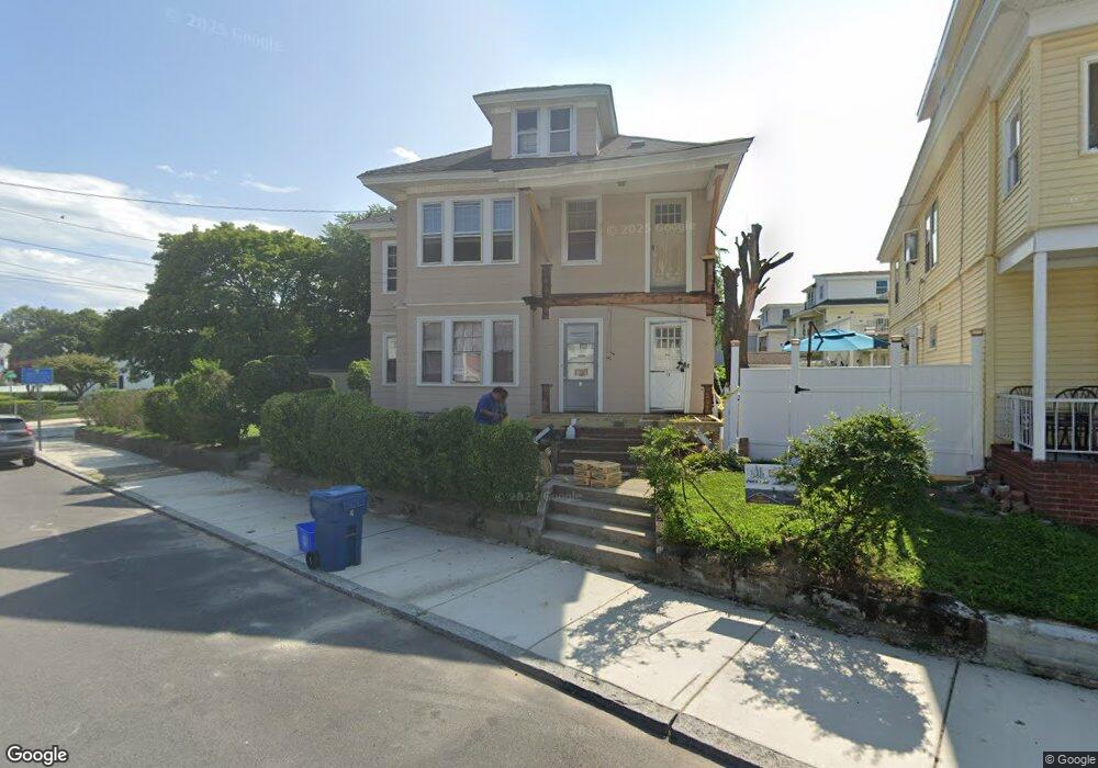
19 Sanborn St Unit 21 Lawrence, MA 01843
South West NeighborhoodEstimated Value: $646,000 - $898,000
6
Beds
2
Baths
2,916
Sq Ft
$253/Sq Ft
Est. Value
About This Home
This home is located at 19 Sanborn St Unit 21, Lawrence, MA 01843 and is currently estimated at $737,207, approximately $252 per square foot. 19 Sanborn St Unit 21 is a home located in Essex County with nearby schools including South Terrace Elementary School, Olive Branch Elementary School, and John Breen School.
Ownership History
Date
Name
Owned For
Owner Type
Purchase Details
Closed on
Feb 6, 2018
Sold by
Marshall Rt
Bought by
Yameen Laurence J and Yameen Loretta
Current Estimated Value
Home Financials for this Owner
Home Financials are based on the most recent Mortgage that was taken out on this home.
Original Mortgage
$240,000
Outstanding Balance
$203,003
Interest Rate
3.94%
Mortgage Type
Unknown
Estimated Equity
$534,204
Purchase Details
Closed on
Jan 1, 1985
Bought by
Marshall Rt
Create a Home Valuation Report for This Property
The Home Valuation Report is an in-depth analysis detailing your home's value as well as a comparison with similar homes in the area
Home Values in the Area
Average Home Value in this Area
Purchase History
| Date | Buyer | Sale Price | Title Company |
|---|---|---|---|
| Yameen Laurence J | -- | -- | |
| Marshall Rt | -- | -- |
Source: Public Records
Mortgage History
| Date | Status | Borrower | Loan Amount |
|---|---|---|---|
| Open | Yameen Laurence J | $240,000 | |
| Previous Owner | Marshall Rt | $140,000 |
Source: Public Records
Tax History Compared to Growth
Tax History
| Year | Tax Paid | Tax Assessment Tax Assessment Total Assessment is a certain percentage of the fair market value that is determined by local assessors to be the total taxable value of land and additions on the property. | Land | Improvement |
|---|---|---|---|---|
| 2025 | $5,547 | $630,300 | $118,900 | $511,400 |
| 2024 | $5,444 | $588,500 | $128,700 | $459,800 |
| 2023 | $5,304 | $522,000 | $119,400 | $402,600 |
| 2022 | $4,944 | $432,200 | $108,200 | $324,000 |
| 2021 | $4,843 | $394,700 | $108,200 | $286,500 |
| 2020 | $4,660 | $374,900 | $102,600 | $272,300 |
| 2019 | $4,661 | $340,700 | $85,200 | $255,500 |
| 2018 | $4,283 | $299,100 | $80,800 | $218,300 |
| 2017 | $3,991 | $260,200 | $76,300 | $183,900 |
| 2016 | $3,891 | $250,900 | $62,800 | $188,100 |
| 2015 | $3,816 | $252,400 | $62,800 | $189,600 |
Source: Public Records
Map
Nearby Homes
- 91-93 Newton St
- 629 Andover St
- 8 Packard St
- 41 Durham St
- 37 Tewksbury St Unit 39
- 13 Kingston St
- 49 Bowdoin St Unit 51
- 19 Front St
- 312 Water St Unit 36
- 54 Amherst St
- 12 Merrimack View Ct
- 132-134 S Broadway
- 55-59 Water St
- 82 S Broadway
- 15 Beaconsfield St
- 95 Hancock St
- 82 Water St
- 11 W Hawley St
- 42 Beresford St
- 33 Jefferson St
- 7 Dana St
- 15 Sanborn St Unit 17
- 34-36 Everett St
- 102-04 Kingston Street'
- 34 Everett St Unit 36
- 38 Sanborn St Unit 40
- 40 Everett St
- 32-34 Sanborn St
- 32 Sanborn St Unit 34
- 24-26 Sanborn St
- 24 Sanborn St Unit 26
- 38-40 Sanborn St
- 102 Kingston St Unit 104A
- 46 Everett St Unit 48
- 9 Dana St Unit 11
- 44 Sanborn St Unit 46
- 44 Sanborn St Unit 2
- 44-46 Sanborn St
- 25 Sanborn St
- 50/52 Sanborn St