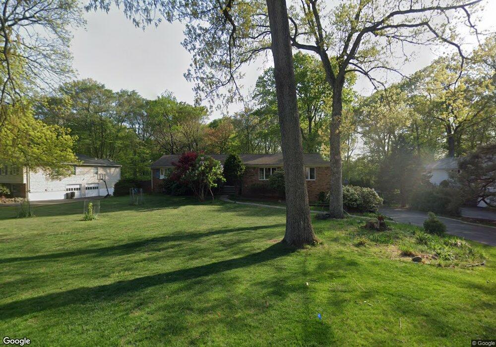
19 Scarsdale Dr Livingston, NJ 07039
Estimated Value: $1,146,678 - $1,442,000
--
Bed
--
Bath
2,337
Sq Ft
$571/Sq Ft
Est. Value
About This Home
This home is located at 19 Scarsdale Dr, Livingston, NJ 07039 and is currently estimated at $1,334,170, approximately $570 per square foot. 19 Scarsdale Dr is a home located in Essex County with nearby schools including Livingston Sr High School, Aquinas Academy, and Mount Carmel Guild High School.
Ownership History
Date
Name
Owned For
Owner Type
Purchase Details
Closed on
Aug 31, 1999
Sold by
Kay Jack
Bought by
Borisenko Michael and Borisenko Diane
Current Estimated Value
Home Financials for this Owner
Home Financials are based on the most recent Mortgage that was taken out on this home.
Original Mortgage
$369,000
Outstanding Balance
$109,480
Interest Rate
7.83%
Estimated Equity
$1,224,690
Create a Home Valuation Report for This Property
The Home Valuation Report is an in-depth analysis detailing your home's value as well as a comparison with similar homes in the area
Home Values in the Area
Average Home Value in this Area
Purchase History
| Date | Buyer | Sale Price | Title Company |
|---|---|---|---|
| Borisenko Michael | $419,000 | -- |
Source: Public Records
Mortgage History
| Date | Status | Borrower | Loan Amount |
|---|---|---|---|
| Open | Borisenko Michael | $369,000 |
Source: Public Records
Tax History Compared to Growth
Tax History
| Year | Tax Paid | Tax Assessment Tax Assessment Total Assessment is a certain percentage of the fair market value that is determined by local assessors to be the total taxable value of land and additions on the property. | Land | Improvement |
|---|---|---|---|---|
| 2025 | $15,321 | $645,900 | $395,100 | $250,800 |
| 2024 | $15,321 | $645,900 | $395,100 | $250,800 |
| 2022 | $15,069 | $645,900 | $395,100 | $250,800 |
| 2021 | $14,946 | $645,900 | $395,100 | $250,800 |
| 2020 | $14,668 | $645,900 | $395,100 | $250,800 |
| 2019 | $17,229 | $658,600 | $419,400 | $239,200 |
| 2018 | $16,998 | $658,600 | $419,400 | $239,200 |
| 2017 | $16,775 | $658,600 | $419,400 | $239,200 |
| 2016 | $16,465 | $658,600 | $419,400 | $239,200 |
| 2015 | $16,221 | $658,600 | $419,400 | $239,200 |
| 2014 | $15,694 | $658,600 | $419,400 | $239,200 |
Source: Public Records
Map
Nearby Homes
- 8 Tanger Dr
- 36 Scarsdale Dr
- 8 Driftwood Dr
- 7 Franklin Ave
- 22 Tuxedo Dr
- 43 Franklin Ave
- 46 Mccall Ave
- 40 Lorelei Rd
- 19 Tilden Ct
- 6 Elkin Dr
- 22 Tilden Ct
- 45 Brandon Ave
- 10 Elmwood Ct
- 319 E Mount Pleasant Ave
- 16 Fernwood Rd
- 21 Maplewood Dr
- 54 Knollwood Dr
- 7 Rosedale Terrace
- 11 Shadowlawn Dr
- 24 Garnet Terrace
- 17 Scarsdale Dr
- 21 Scarsdale Dr
- 15 Scarsdale Dr
- 23 Scarsdale Dr
- 20 Scarsdale Dr
- 18 Scarsdale Dr
- 16 Scarsdale Dr
- 22 Scarsdale Dr
- 1 Sylvan Ct
- 13 Scarsdale Dr
- 25 Scarsdale Dr
- 24 Scarsdale Dr
- 3 Sylvan Ct
- 183 E Mcclellan Ave
- 189 E Mcclellan Ave
- 187 E Mcclellan Ave
- 193 E Mcclellan Ave
- 11 Scarsdale Dr
- 27 Scarsdale Dr
- 197 E Mcclellan Ave