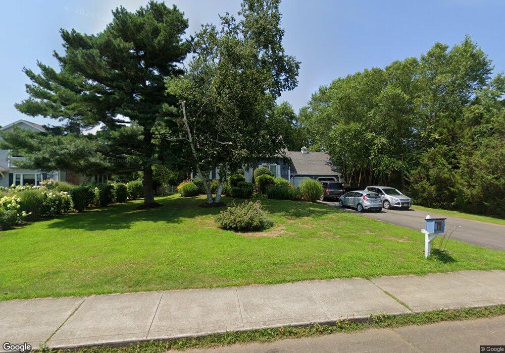
19 Seaside Ave Guilford, CT 06437
Estimated Value: $681,000 - $961,000
2
Beds
2
Baths
1,698
Sq Ft
$459/Sq Ft
Est. Value
About This Home
This home is located at 19 Seaside Ave, Guilford, CT 06437 and is currently estimated at $779,354, approximately $458 per square foot. 19 Seaside Ave is a home located in New Haven County with nearby schools including E.C. Adams Middle School, A. Baldwin Middle School, and Guilford High School.
Ownership History
Date
Name
Owned For
Owner Type
Purchase Details
Closed on
May 3, 1977
Bought by
Heinrich Jos J and Heinrich Suellen A
Current Estimated Value
Create a Home Valuation Report for This Property
The Home Valuation Report is an in-depth analysis detailing your home's value as well as a comparison with similar homes in the area
Home Values in the Area
Average Home Value in this Area
Purchase History
| Date | Buyer | Sale Price | Title Company |
|---|---|---|---|
| Heinrich Jos J | -- | -- |
Source: Public Records
Mortgage History
| Date | Status | Borrower | Loan Amount |
|---|---|---|---|
| Closed | Heinrich Jos J | $80,000 | |
| Closed | Heinrich Jos J | $135,000 | |
| Closed | Heinrich Jos J | $20,000 | |
| Closed | Heinrich Jos J | $86,000 |
Source: Public Records
Tax History
| Year | Tax Paid | Tax Assessment Tax Assessment Total Assessment is a certain percentage of the fair market value that is determined by local assessors to be the total taxable value of land and additions on the property. | Land | Improvement |
|---|---|---|---|---|
| 2025 | $11,030 | $398,930 | $242,550 | $156,380 |
| 2024 | $10,604 | $398,930 | $242,550 | $156,380 |
| 2023 | $10,324 | $398,930 | $242,550 | $156,380 |
| 2022 | $9,041 | $271,920 | $169,400 | $102,520 |
| 2021 | $8,870 | $271,920 | $169,400 | $102,520 |
| 2020 | $8,786 | $271,920 | $169,400 | $102,520 |
| 2019 | $8,710 | $271,920 | $169,400 | $102,520 |
| 2018 | $8,506 | $271,920 | $169,400 | $102,520 |
| 2017 | $8,624 | $293,730 | $176,400 | $117,330 |
| 2016 | $8,421 | $293,730 | $176,400 | $117,330 |
| 2015 | $8,295 | $293,730 | $176,400 | $117,330 |
| 2014 | $8,054 | $293,730 | $176,400 | $117,330 |
Source: Public Records
Map
Nearby Homes
- 505 Old Whitfield St
- 405 Whitfield St Unit 2
- 80 Seaview Terrace Unit 31
- 379 Whitfield St Unit AN2542
- 379 Whitfield St Unit BN334
- 379 Whitfield St Unit CN946
- 379 Whitfield St Unit AN236
- 379 Whitfield St Unit BN2534
- 379 Whitfield St Unit CS936
- 25 Driveway
- 285 Old Whitfield St
- 174 Whitfield St
- 147 Boston St
- 66 High St Unit 38
- 66 High St Unit 34
- 26 Water St
- 409 Boston St
- 402 Boston St
- 22 Village Cir Unit 22
- 35 Village Walk Unit 35
- 27 Seaside Ave
- 439 New Whitfield St
- 1 Seaside Ave
- 22 Seaside Ave
- 431 New Whitfield St
- 33 Seaside Ave
- 455 Whitfield St
- 455 Old Whitfield St
- 35 Seaside Ave
- 440 Old Whitfield St
- 432 Old Whitfield St
- 0 Seaside Ave Unit N10217602
- 425 Whitfield St
- 425 New Whitfield St
- 469 Old Whitfield St
- 423 New Whitfield St
- 34 Seaside Ave
- 49 Seaside Ave
- 432 Old Whitfield St
- 00 Old Whitfield St
Your Personal Tour Guide
Ask me questions while you tour the home.