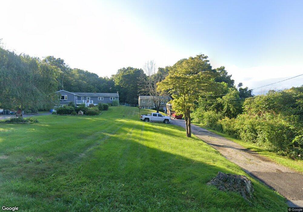
19 Sharp Hill Rd Uncasville, CT 06382
Estimated Value: $319,000 - $391,000
About This Home
This home is located at 19 Sharp Hill Rd, Uncasville, CT 06382 and is currently estimated at $349,423, approximately $339 per square foot. 19 Sharp Hill Rd is a home located in New London County with nearby schools including Leonard J. Tyl Middle School, Montville High School, and Bradley School-New London Regional.
Ownership History
We collect this data history from publicly available records. To have your information removed, we recommend requesting removal directly through your county’s website.
Purchase Details
Home Financials for this Owner
Home Financials are based on the most recent Mortgage that was taken out on this home.Home Values in the Area
Average Home Value in this Area
Purchase History
We collect this data history from publicly available records. To have your information removed, we recommend requesting removal directly through your county’s website.
| Date | Buyer | Sale Price | Title Company |
|---|---|---|---|
| $109,000 | -- |
Mortgage History
We collect this data history from publicly available records. To have your information removed, we recommend requesting removal directly through your county’s website.
| Date | Status | Borrower | Loan Amount |
|---|---|---|---|
| Closed | $98,342 | ||
| Closed | $96,889 | ||
| Closed | $108,261 | ||
| Closed | $108,950 |
Tax History
We collect this data history from publicly available records. To have your information removed, we recommend requesting removal directly through your county’s website.
| Year | Tax Paid | Tax Assessment Tax Assessment Total Assessment is a certain percentage of the fair market value that is determined by local assessors to be the total taxable value of land and additions on the property. | Land | Improvement |
|---|---|---|---|---|
| 2025 | $3,769 | $130,550 | $30,520 | $100,030 |
| 2024 | $3,625 | $130,550 | $30,520 | $100,030 |
| 2023 | $3,625 | $130,550 | $30,520 | $100,030 |
| 2022 | $3,487 | $130,550 | $30,520 | $100,030 |
| 2021 | $3,500 | $110,230 | $31,870 | $78,360 |
| 2020 | $3,569 | $110,230 | $31,870 | $78,360 |
| 2019 | $3,584 | $110,230 | $31,870 | $78,360 |
| 2018 | $3,498 | $110,230 | $31,860 | $78,370 |
| 2017 | $3,494 | $110,230 | $31,860 | $78,370 |
| 2016 | $3,638 | $118,840 | $39,910 | $78,930 |
| 2015 | $3,576 | $118,840 | $39,910 | $78,930 |
| 2014 | $3,490 | $118,840 | $39,910 | $78,930 |
Map
- 10 Sharp Hill Rd
- 320 Maple Ave
- 20 Carol Dr
- 16 Carol Dr
- 571 Old Colchester Rd
- 2 Fawns Meadow Rd
- 505 Old Colchester Rd
- 606 Route 163
- 79 Cottonwood Ln
- 21 Hillcrest Dr
- 82C Pires Dr
- 238 Simpson Ln
- 53 Sarah Dr
- 950 Old Colchester Rd
- 107 Woodland Dr Unit B
- 27 Allen Dr Unit A
- 16 Greystone Dr
- 5 Blumenthal Dr
- 95 Kitemaug Rd
- 1465 Norwich New London (Rte 32) Turnpike
- 21 Sharp Hill Rd
- 15 Sharp Hill Rd
- 27 Sharp Hill Rd
- 390 Maple Ave
- 376 Maple Ave
- 14 Sharp Hill Rd
- 24 Sharp Hill Rd
- 39 Sharp Hill Rd
- 28 Sharp Hill Rd
- 392 Maple Ave
- 32 Sharp Hill Rd
- 375 Maple Ave
- 364 Maple Ave
- 45 Sharp Hill Rd
- 412A Maple Ave
- 412 Maple Ave Unit 5 & 6
- 416 Maple Ave
- 385 Maple Ave
- 400 Maple Ave
- 42 Sharp Hill Rd
Ask me questions while you tour the home.