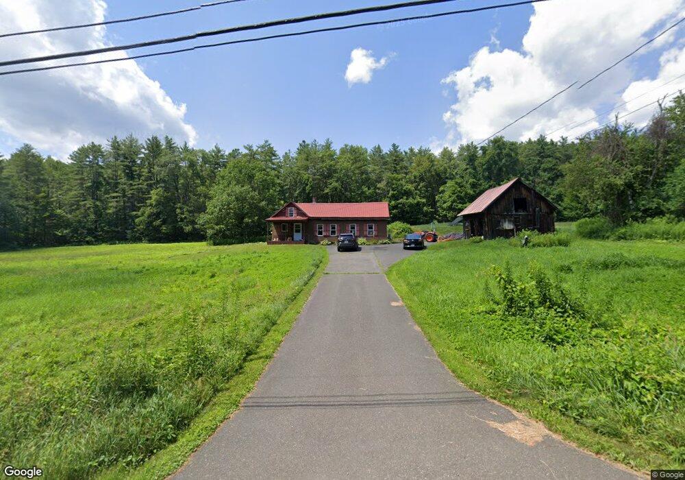
19 Shelburne Line Rd Colrain, MA 01340
Colrain NeighborhoodEstimated Value: $231,613 - $456,000
3
Beds
1
Bath
1,468
Sq Ft
$226/Sq Ft
Est. Value
About This Home
This home is located at 19 Shelburne Line Rd, Colrain, MA 01340 and is currently estimated at $332,403, approximately $226 per square foot. 19 Shelburne Line Rd is a home located in Franklin County with nearby schools including Mohawk Trail Regional High School.
Ownership History
Date
Name
Owned For
Owner Type
Purchase Details
Closed on
Jul 9, 2009
Sold by
Uguccioni Robert and Uguccioni Shelley
Bought by
Uguccioni Dominick L and Uguccinoi Gina A
Current Estimated Value
Create a Home Valuation Report for This Property
The Home Valuation Report is an in-depth analysis detailing your home's value as well as a comparison with similar homes in the area
Home Values in the Area
Average Home Value in this Area
Purchase History
| Date | Buyer | Sale Price | Title Company |
|---|---|---|---|
| Uguccioni Dominick L | -- | -- |
Source: Public Records
Tax History
| Year | Tax Paid | Tax Assessment Tax Assessment Total Assessment is a certain percentage of the fair market value that is determined by local assessors to be the total taxable value of land and additions on the property. | Land | Improvement |
|---|---|---|---|---|
| 2025 | $2,916 | $159,700 | $56,200 | $103,500 |
| 2024 | $2,953 | $155,600 | $56,200 | $99,400 |
| 2023 | $2,954 | $150,500 | $54,100 | $96,400 |
| 2022 | $2,523 | $123,200 | $48,200 | $75,000 |
| 2021 | $2,527 | $119,400 | $44,400 | $75,000 |
| 2020 | $2,380 | $119,400 | $44,400 | $75,000 |
| 2019 | $2,324 | $113,000 | $44,400 | $68,600 |
| 2018 | $2,184 | $107,900 | $44,400 | $63,500 |
| 2017 | $2,126 | $107,900 | $44,400 | $63,500 |
| 2016 | $2,016 | $107,900 | $44,400 | $63,500 |
| 2015 | $1,952 | $107,900 | $44,400 | $63,500 |
Source: Public Records
Map
Nearby Homes
- 13 Griswoldville St
- 0 Frizzell Hill Rd Unit 73493472
- 0 Brook Rd
- 151 Smead Hill Rd
- 19 Arnold Ln
- 364 Jacksonville Rd
- 108 Colrain Shelburne Rd
- 474 Little Mohawk Rd
- 85 Verde Dr
- 539 Fox Hill Rd
- 187 Leyden Rd
- 402 Country Side Rd
- 306 Country Side Rd
- 75 South St Unit 3
- 0 Fox Hill Rd Unit 73477185
- 2155 Massachusetts 2
- 2151 Route 2
- 56 Brattleboro Rd
- 208 Silver St
- 171 Cleveland St
- 14 Shelburne Line Rd
- 30 Shelburne Line Rd
- 127 W Leyden Rd
- 100 Fort Lucas Rd
- 42 Shelburne Line Rd
- 153 W Leyden Rd
- 136 W Leyden Rd
- 140 W Leyden Rd
- 64 Shelburne Line Rd
- 160 W Leyden Rd
- 114 Fort Lucas Rd
- 165 W Leyden Rd
- 108 W Leyden Rd
- 179 W Leyden Rd
- 5 Phillips Dr
- 1 Phillips Dr
- 81 W Leyden Rd
- 14 Phillips Dr
- 2 Phillips Dr
- 00 E Colrain Rd
Your Personal Tour Guide
Ask me questions while you tour the home.