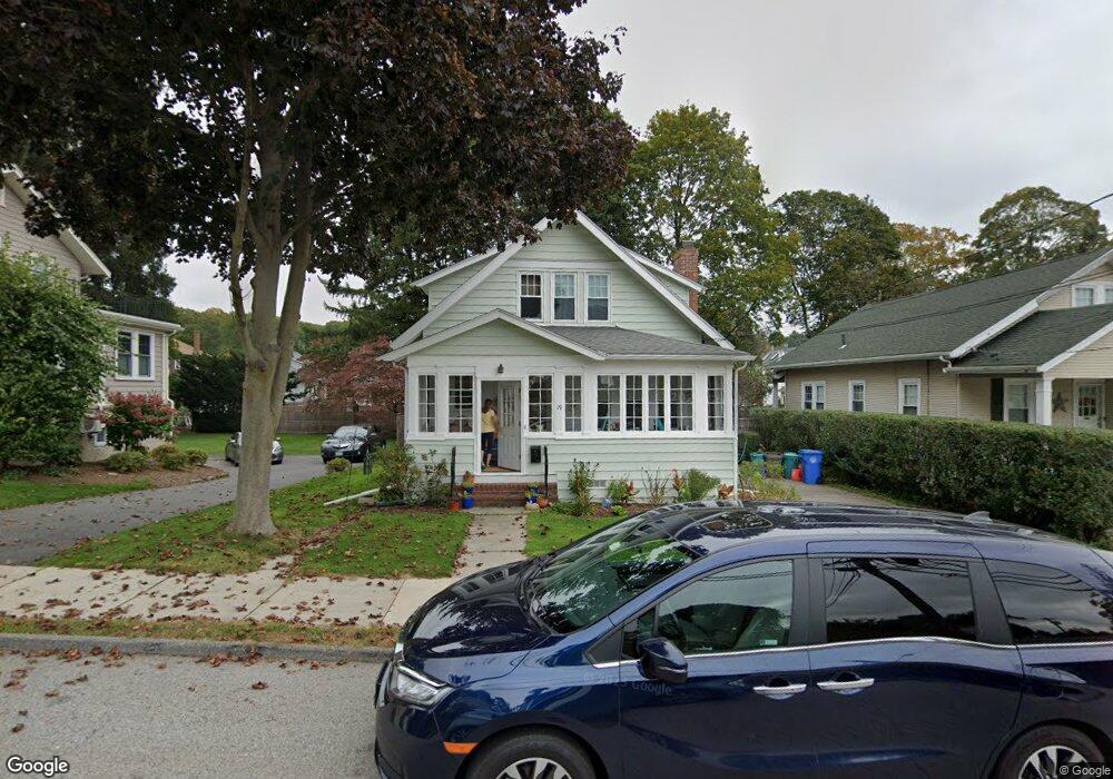
19 Shirley Rd Waltham, MA 02452
North Waltham NeighborhoodEstimated Value: $780,326 - $873,000
3
Beds
1
Bath
1,357
Sq Ft
$610/Sq Ft
Est. Value
About This Home
This home is located at 19 Shirley Rd, Waltham, MA 02452 and is currently estimated at $827,832, approximately $610 per square foot. 19 Shirley Rd is a home located in Middlesex County with nearby schools including Northeast Elementary School, John F Kennedy Middle School, and Waltham Sr High School.
Ownership History
Date
Name
Owned For
Owner Type
Purchase Details
Closed on
Jul 31, 1995
Sold by
Davis Patrick R and Check Elizabeth A
Bought by
Boschetto Vincent J
Current Estimated Value
Home Financials for this Owner
Home Financials are based on the most recent Mortgage that was taken out on this home.
Original Mortgage
$154,800
Interest Rate
7.56%
Mortgage Type
Purchase Money Mortgage
Create a Home Valuation Report for This Property
The Home Valuation Report is an in-depth analysis detailing your home's value as well as a comparison with similar homes in the area
Home Values in the Area
Average Home Value in this Area
Purchase History
| Date | Buyer | Sale Price | Title Company |
|---|---|---|---|
| Boschetto Vincent J | $172,000 | -- |
Source: Public Records
Mortgage History
| Date | Status | Borrower | Loan Amount |
|---|---|---|---|
| Open | Boschetto Vincent J | $205,000 | |
| Closed | Boschetto Vincent J | $25,000 | |
| Closed | Boschetto Vincent J | $154,800 | |
| Previous Owner | Boschetto Vincent J | $152,000 |
Source: Public Records
Tax History Compared to Growth
Tax History
| Year | Tax Paid | Tax Assessment Tax Assessment Total Assessment is a certain percentage of the fair market value that is determined by local assessors to be the total taxable value of land and additions on the property. | Land | Improvement |
|---|---|---|---|---|
| 2025 | $6,411 | $652,900 | $418,300 | $234,600 |
| 2024 | $6,081 | $630,800 | $398,800 | $232,000 |
| 2023 | $5,920 | $573,600 | $362,500 | $211,100 |
| 2022 | $6,272 | $563,000 | $355,300 | $207,700 |
| 2021 | $6,104 | $539,200 | $340,800 | $198,400 |
| 2020 | $6,084 | $509,100 | $319,000 | $190,100 |
| 2019 | $5,686 | $449,100 | $305,400 | $143,700 |
| 2018 | $5,232 | $414,900 | $282,800 | $132,100 |
| 2017 | $4,892 | $389,500 | $257,400 | $132,100 |
| 2016 | $4,634 | $378,600 | $246,500 | $132,100 |
| 2015 | $4,628 | $352,500 | $221,100 | $131,400 |
Source: Public Records
Map
Nearby Homes
- 26 Brookfield Rd
- 100 Shirley Rd
- 51 S Cottage Rd Unit 112
- 50 Moraine St
- 45 Chase Rd
- 38 Van Vechten St
- 51 Harrington St Unit 51
- 51 Harrington St Unit 53
- 236 Sycamore St
- 9 Stanley Rd
- 253 Sycamore St Unit 253
- 36 Hollace St
- 1 Bridgham Ave
- 55-57 Hawthorne St
- 57 Pierce Rd Unit 57
- 160 Waverley St
- 28 Whitney St
- 88 Bartlett Ave
- 72-74 Flett Rd
- 266 Linden St
- 15 Shirley Rd
- 23 Shirley Rd
- 9 Shirley Rd
- 22 Brookfield Rd
- 29 Shirley Rd
- 18 Brookfield Rd
- 22 Shirley Rd
- 30 Brookfield Rd
- 12 Brookfield Rd
- 520 Waverley Oaks Rd
- 526 Waverley Oaks Rd
- 34 Brookfield Rd
- 510 Waverley Oaks Rd
- 35 Shirley Rd
- 30 Shirley Rd
- 530 Waverley Oaks Rd
- 38 Brookfield Rd
- 37 Shirley Rd
- 536 Waverley Oaks Rd
- 502 Waverley Oaks Rd